Julia Harvey: That’s a Mooring: June 29th, 2016

NOAA Teacher at Sea

Julia Harvey

Aboard NOAA Ship Hi’ialakai

June 25 – July 3rd 2016


Mission: WHOI Hawaii Ocean Timeseries Station (WHOTS)

Geographical Area of Cruise: Pacific Ocean, north of Hawaii

Date: June 29th, 2016


Weather Data from the Bridge

(June 29th, 2016 at 12:00 pm)

Wind Speed: 12 knots

Temperature: 26.3 C

Humidity: 87.5%

Barometric Pressure: 1017.5 mb


Science and Technology Log

Approaching Weather

Approaching Weather

When an anchor is dropped, forces in the ocean will cause this massive object to drift as it falls.  Last year, after the anchor of mooring 12 was dropped, an acoustic message was sent to the release mechanism on the anchor to locate it.  This was repeated in three locations so that the location of the anchor could be triangulated much like how an earthquake epicenter is found.  This was repeated this year for mooring 13 so next year, they will know where it is.  From where we dropped the anchor to where it fell, was a horizontal distance of 3oo meters.  The ocean moved the 9300 pound anchor 300 meters.  What a force!

The next morning as the ship was in position, another acoustic message was sent that triggered the release of the glass floats from the anchor. Not surprisingly, the floats took nearly an hour to travel up the nearly 3 miles to the surface.

Float recovery

A small boat went to retrieve the mooring attached to the floats

Once the floats were located at the surface, a small boat was deployed to secure the end of the mooring to the Hi’ialakai. The glass floats were loaded onto the ship.  17 floats that had imploded when they were deployed last year.  Listen to imploding floats recorded by the hydrophone.  Implosion.

Selfie with an imploded float.

Selfie with an imploded float.

Next, came the lengthy retrieval of the line (3000+ meters). A capstan to apply force to the line was used as the research associates and team arranged the line in the shipping boxes. The colmega and nylon retrieval lasted about 3 hours.

Bringing up the colmega line.

Bringing up the colmega line and packing it for shipping.

Once the wire portion of the mooring was reached, sensors were removed as they rose and stored. Finally the mooring was released, leaving the buoy with about 40 meters of line with sensors attached and hanging below.

Navigating to buoy.

Navigating to buoy.

The NOAA officer on the bridge maneuvered the ship close enough to the buoy so that it could be secured to the ship and eventually lifted by the crane and placed on deck. This was followed by the retrieval of the last sensors.

Buoy onboard

Bringing the buoy on board.


The following day required cleaning sensors to remove biofoul.  And the buoy was dismantled for shipment back to Woods Hole Oceanographic Institution.

Kate scrubbing sensors to remove biofoul.

Kate scrubbing sensors to remove biofoul.


Dismantling the buoy.

Dismantling the buoy.


Mooring removal was accomplished in seas with 5-6 feet swells at times. From my vantage point, everything seemed to go well in the recovery process. This is not always the case. Imagine what would happen, if the buoy separated from the rest of the mooring before releasing the floats and the mooring is laying on the sea floor? What would happen if the float release was not triggered and you have a mooring attached to the 8000+ pound anchor?  There are plans for when these events occur.  In both cases, a cable with a hook (or many hooks) is snaked down to try and grab the mooring line and bring it to the surface.

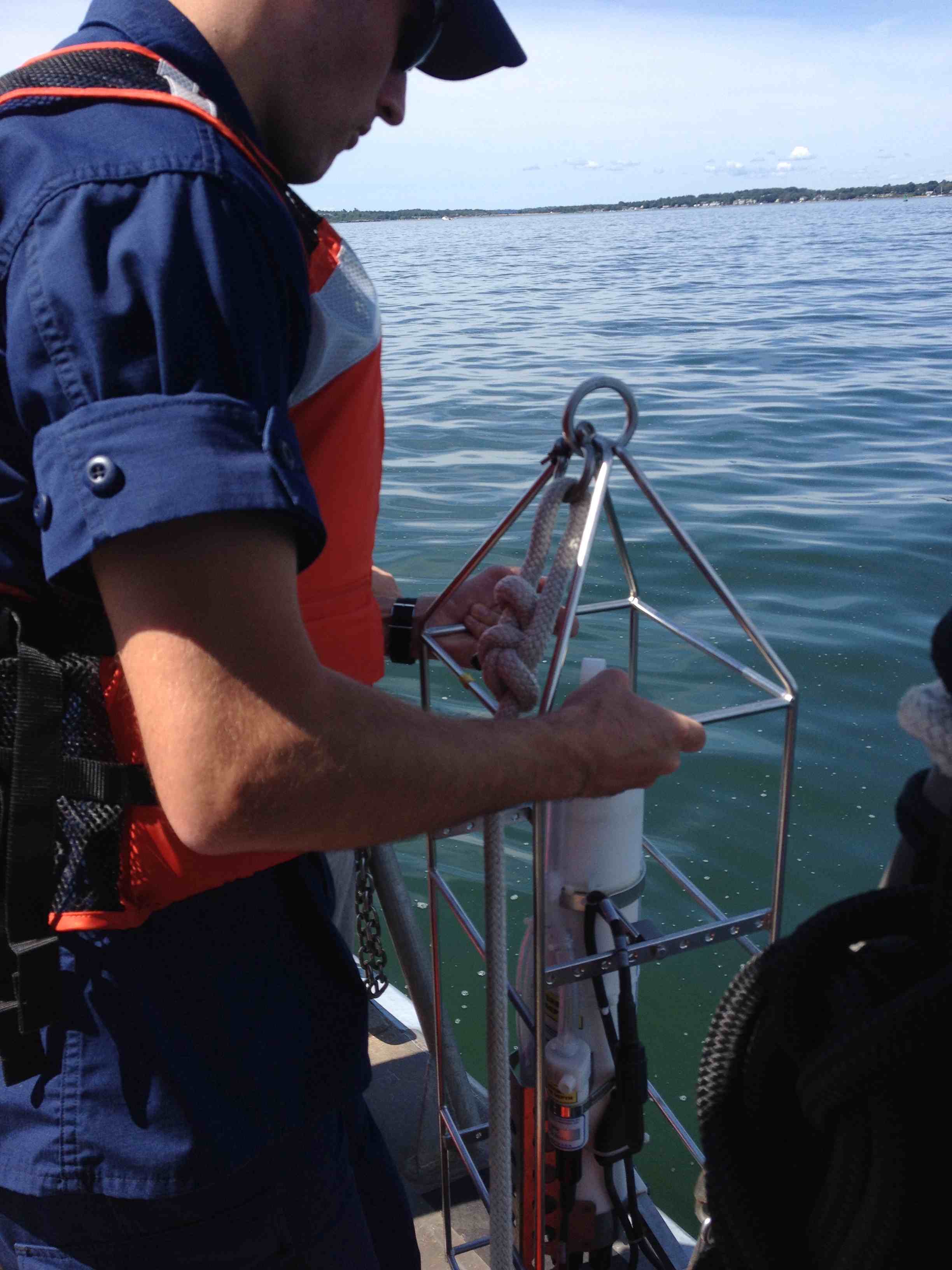
Now that the mooring has been recovered, the science team continues to collect data from the CTD (conductivity/temperature/depth) casts.  By the end of tomorrow, the CTDs would have collected data for approximately 25 hours.  The data from the CTDs will enable the alignment of the two moorings.

CTD

CTD

The WHOTS (Woods Hole Oceanographic Institution Hawaii Ocean Time Series Site) mooring project is led by is led by two scientists from Woods Hole Oceanographic Institution;  Al Plueddeman and Robert Weller.  Both scientists have been involved with the project since 2004.  Plueddeman led this year’s operations and next year it will be Weller.  Plueddeman recorded detailed notes of the operation that helped me fill in some blanks in my notes.  He answered my questions.  I am thankful to have been included in this project and am grateful for this experience and excited to share with my students back in Eugene, Oregon.

Al Plueddeman

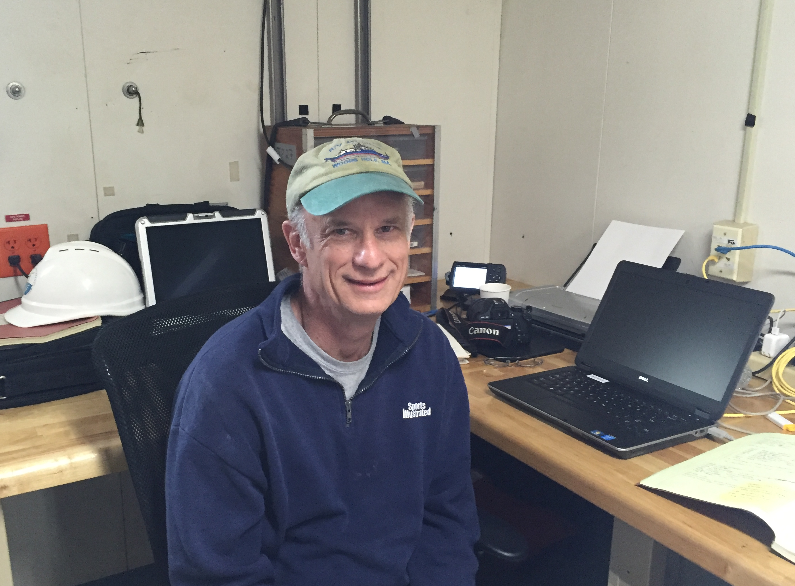
Al Plueddeman, Senior Scientist

The long term observations (air-sea fluxes) collected by the moorings at Station Aloha will be used to better understand climate variability.  WHOTS is funded by NOAA and NSF and is a joint venture with University of Hawaii.  I will definitely be including real time and archived data from WHOTS in Environmental Science.

Personal Log

I have really enjoyed having the opportunity to talk with the crew of the Hi’ialakai.  There were many pathways taken to get to this point of being aboard this ship.  I learned about schools and programs that I had never even heard about.  My students will learn from this adventure of mine, that there are programs that can lead them to successful oceanic careers.

Brian Kibler

Brian Kibler

I sailed with Brian Kibler in 2013 aboard the Oscar Dyson up in the Gulf of Alaska.  He completed a two year program at Seattle Maritime Academy where he became credentialed to be an Able Bodied Seaman.  After a year as an intern aboard the Oscar Dyson, he was hired.  A few years ago he transferred to the Hi’ialakai and has now been with NOAA for 5 years.  On board, he is responsible for rigging, watch and other tasks that arise.  Brian was one of the stars of the video I made called Sharks on Deck. Watch it here.

Tyler Matta

Tyler Matta, 3rd Engineer

Tyler Matta has been sailing with NOAA for nearly a year.  He sought a hands-on engineering program and enrolled at Cal Maritime (Forbes ranked the school high due to the 95% job placement) and earned a degree in maritime engineering and was licensed as an engineer.  After sailing to the South Pacific on a 500 ft ship, he was hooked.  He was hired by NOAA at a job fair as a 3rd engineer and soon will have enough sea days to move to 2nd engineer.


There are 6 NOAA Corps members on  the Hi’ialakai.  They all went through an approximately 5 month training program at the Coast Guard Academy in New London, CT.  To apply, a candidate should have a 4 year degree in a NOAA related field such as science, math or engineering.  Our commanding officer, Liz Kretovic, attended Massachusetts Maritime Academy and majored in marine safety and environmental protection.  Other officers graduated with degrees in marine science, marine biology, and environmental studies.

Nikki Chappelle, Bryan Stephan and Brian Kibler on the bridge.

Nikki Chappelle, Bryan Stephan and Brian Kibler on the bridge.

ENS Chappelle

NOAA Ensign Nicki Chappelle

Ensign (ENS) Nikki Chappelle is new to the NOAA Corps.  In fact, this is her first cruise aboard the Hi’ialakai and second with NOAA.  She is shadowing ENS Bryan Stephan for on the job training.  She spent most of her schooling just south of where I teach.  I am hoping that when she visits her family in Cottage Grove, Oregon that she might make a stop at my school to talk to my students.  She graduated from Oregon State University with degrees in zoology and communication.  In the past she was a wildfire fighter, a circus worker (caring for the elephants) and a diver at Sea World.

All of the officers have 2 four hour shifts a day on the bridge.  For example ENS Chappelle’s shifts are 8am to 12pm and 8pm to 12am.  The responsibilities of the officers include navigating the ship, recording meteorological information, overseeing safety.  Officers have other tasks to complete when not on the bridge such as correcting navigational maps or safety and damage control. ENS Stephan manages the store on board as a collateral assignment.  After officers finish training they are sent to sea for 2-3 years (usually 2) and then rotate to land for 3 years and then back to sea.  NOAA Officers see the world while at sea as they support ocean and atmospheric science research.

Frank Russo

ET Frank Russo

Electronics technician (ET) seem to be in short supply with NOAA.  There are lots of job opportunities.  According to Larry Wooten (from Newport’s Marine Operation Center of the Pacific), NOAA has hired 7 ETs since November.  Frank Russo III is sailing with NOAA for the first time as an ET.  But this is definitely not his first time at sea.  He spent 24 years in the navy, 10 at Military Sealift Command supporting naval assets and marines around the world.  His responsibilities on the Hi’ialakai include maintaining navigational equipment on the bridge, making sure the radio, radar and NAVTEX (for weather alerts) are functioning properly and maintaining the server so that the scientists have computer access.

I have met so many interesting people on the Hi’ialakai.  I appreciate everyone who took the time to chat with me about their careers or anything else.  I wish I had more time so that I could get to know more of the Hi’ialakai crew.  Thanks.  Special thanks to our XO Amanda Goeller and Senior Scientist Al Plueddeman for reviewing my blog posts.  And for letting me tag along.


Did You Know?

The buoy at the top of the mooring becomes a popular hang out for organisms in the area. As we approached mooring 12, there were several red-footed boobies standing their ground. There were also plenty of barnacles and other organisms that are planktonic in some stage of their lives. Fishing line is strung across the center of the buoy to discourage visitors but some still use the buoy as a rest stop. The accumulation of organism that can lead to corrosion and malfunction of the equipment is biofoul.
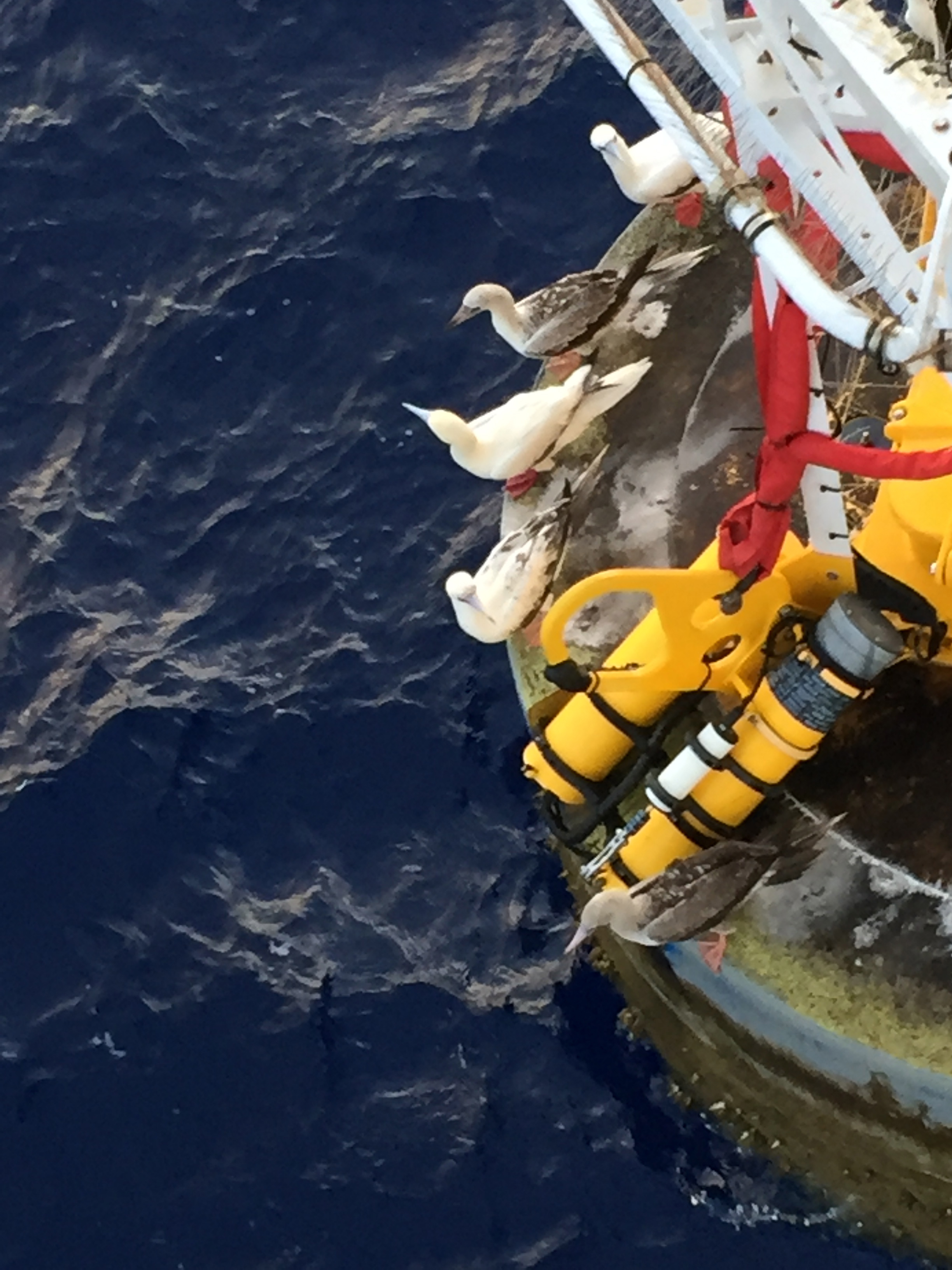
Boobies to be Evicted

Red-Footed Boobies

Biofoul prevention

Wires and line to prevent biofoul.

 One More Thing

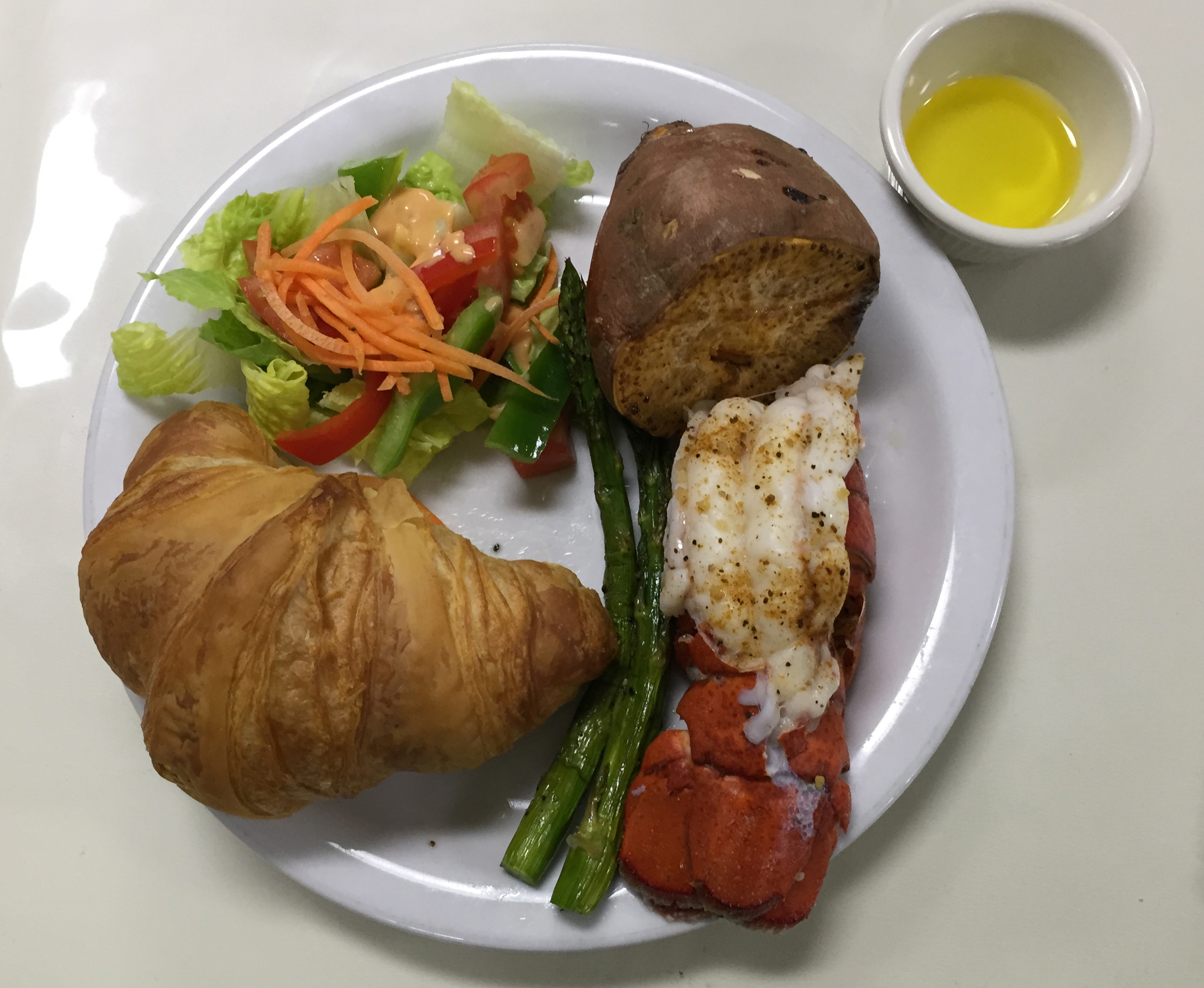
South Eugene biology teacher Christina Drumm (who’s husband was  Ensign Chappelle’s high school math teacher) wanted to see pictures of the food.  So here it is.  Love and Happiness.
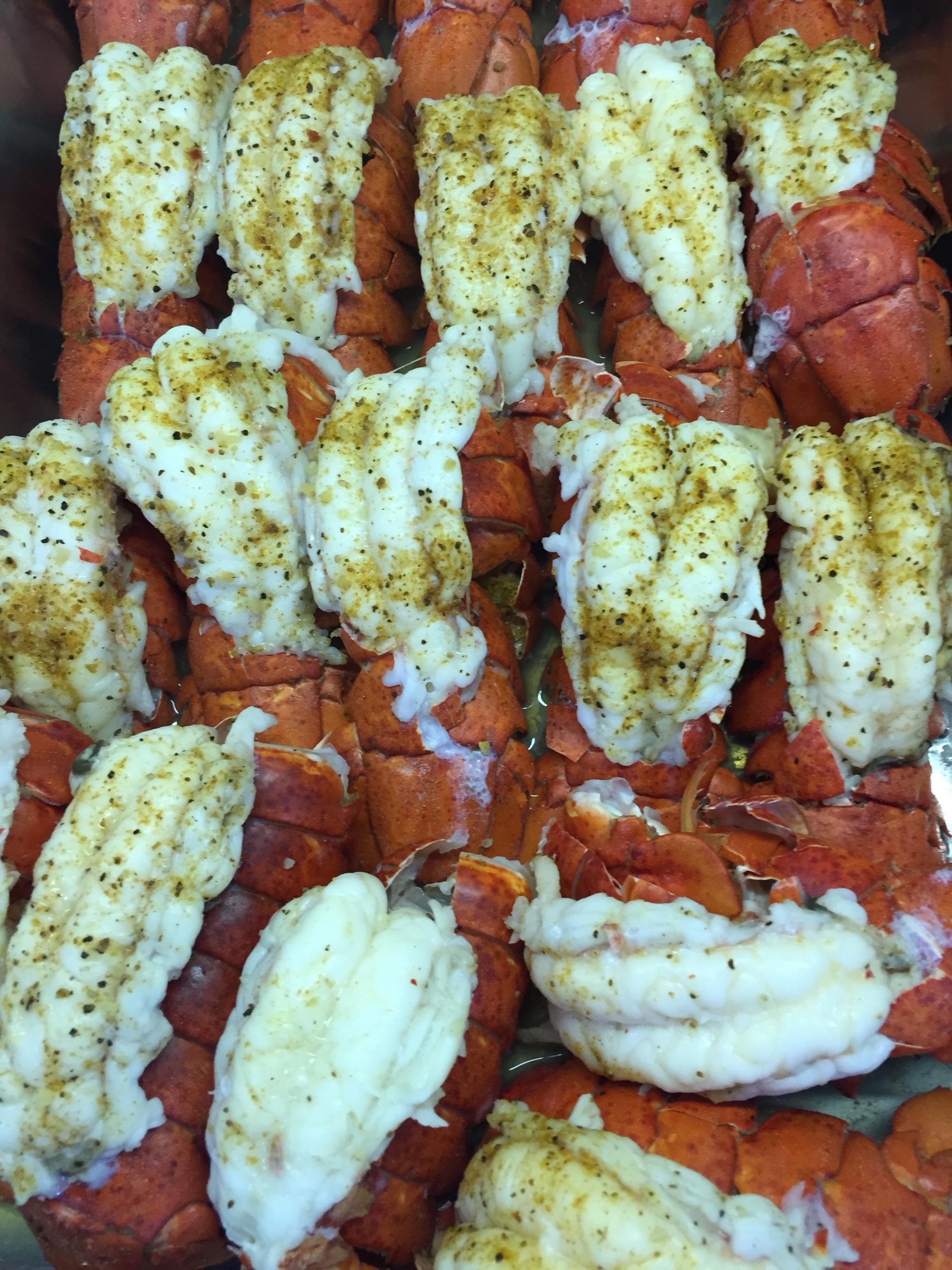
Lobster for Dinner

Lobster for Dinner


Last supper

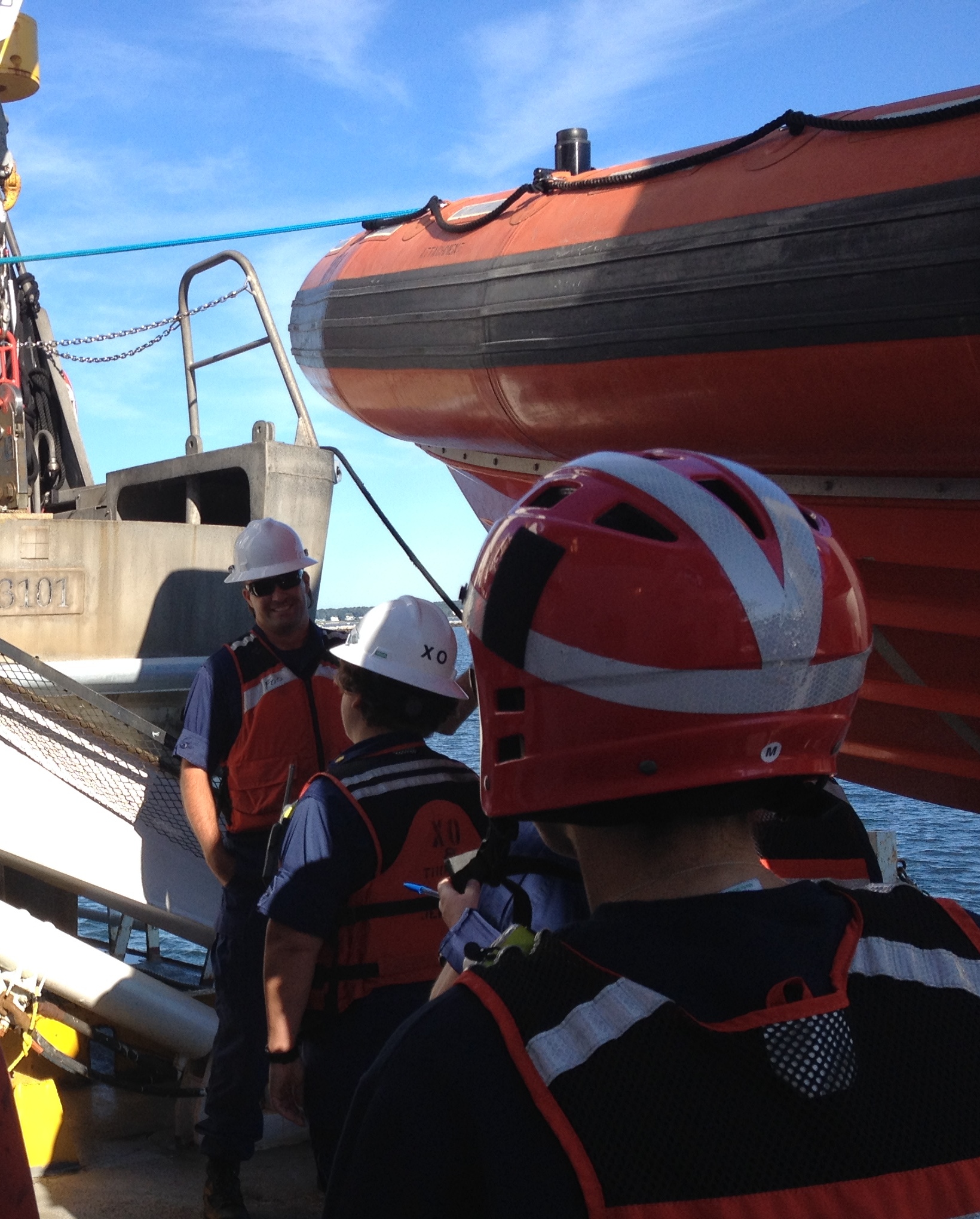
Last supper on the Hi’ialakai


Colors of the sea

I love the colors of the sea.

Sea colors

Sea colors

Jeanne Muzi: Science, Service and Stewardship, August 10, 2015

NOAA Teacher at Sea
Jeanne Muzi
Aboard NOAA Ship Thomas Jefferson
August 2 – 8, 2015

Mission: Hydrographic Survey
Geographical area of cruise: North Atlantic
Date: August 10, 2015

As I head home to New Jersey a few days ahead of schedule, I am reflecting on what I have learned aboard the Thomas Jefferson. From day one, I was asking questions and trying to understand the process of hydrographic surveying, the equipment used and the different roles of everyone involved in the process. I learned why hydrographic surveying is so important and why the mission of NOAA (Science, Service and Stewardship) is demonstrated in all the research and activities aboard the Thomas Jefferson.

The ocean covers 71 percent of the Earth’s surface and contains 97 percent of the planet’s water, yet more than 95 percent of the underwater world remains unexplored.  NOAA protects, preserves, manages and enhances the resources found in 3.5 million square miles of coastal and deep ocean waters.

The oceans are our home. As active citizens, we must all become knowledgeable, involved stewards of our oceans.

http://oceanservice.noaa.gov/news/june14/our-ocean.pdf

Science and Technology Log

As my Teacher at Sea experience ends, I wanted to make sure I shared some of the conversations I had with the officers charged with leading the missions of the Thomas Jefferson and the hydrographic work it is involved in.

The Thomas Jefferson: Home to an amazing crew!

The Thomas Jefferson: Home to an amazing crew!

It is my honor to introduce to you:

Captain Shepard Smith (CO)

CO Smith

CO Smith

Captain Smith grew up on the water in Maine. He always enjoyed reading maps and charts. He received a Bachelor’s of Science degree in mechanical engineering from Cornell University and earned a Master’s of Science degree from the University of New Hampshire Ocean Engineering (Mapping) Program. He has worked at NOAA in many different capacities.

He served aboard NOAA Ship Rainier, NOAA R/V Bay Hydrographer and the Thomas Jefferson. He was also the chief of Coast Survey’s Atlantic Hydrographic Branch in Norfolk, Virginia. Captain Smith also served as Senior Advisor to Dr. Kathryn Sullivan, NOAA Deputy Administrator and as Chief of Coast Survey’s Marine Chart Division. Captain Smith explained how he has been involved in integrating many new technological innovations designed to improve the efficiency of NOAA’s seafloor mapping efforts. It was through Captain Smith’s endeavors that Americans enjoy open access to all NOAA charts and maps.

CO Smith on the Bridge

CO Smith on the Bridge

He enjoys being the CO very much and feels the best part of his job is developing the next generation of leadership in NOAA. He feels it is very important to have that influence on junior officers. The worst part of his job is the separation from his family.

Captain Smith’s advice to young students is to pay attention to the world around you and how things work. Try to ask lots of questions. He said, “There are loads of opportunities to be the best at something and so many things to learn about. There are new fields, new ideas and new ways to see and understand things. Never limit yourself.”

Lieutenant Commander Olivia Hauser (XO)

XO LCDR Hauser

XO LCDR Hauser 

LCDR Hauser grew up in New Jersey and always loved learning about the ocean. As a little girl, she thought she would like to study Marine Science but wasn’t sure how. She grew up and earned her Bachelor’s of Arts in Biology from Franklin and Marshall College and her Master’s of Science in Biological Oceanography from the University of Delaware’s College of Marine Studies. Before coming to NOAA, LCDR Hauser spent time working for a mortgage company, which provided her with different kinds of skills. She soon started officer training for NOAA and got to apply the sonar knowledge she developed in graduate school to her NOAA work. She has served on the NOAA ships Rainier and Thomas Jefferson. She has built her strong background in hydrography with both land and sea assignments. She has been Field Operations Officer, Field Support Liaison and Executive Officer. She explained that in the field of hydrographic surveying, experience is key to improving skills and she is always trying to learn more and share her knowledge. As XO, she is the second highest-ranking officer on the ship.

LCDR Hauser feels the best part of her job is that it never gets boring. Everyday is different and there are always new things to see and learn.

XO supervises the arrival of the launch

XO supervises the arrival of the launch

LCDR Hauser also explained that the hardest part of the job is the transitions, that come pretty frequently. She said, “You may find yourself leaving a ship or coming to a new job. There are always new routines to learn and new people to get to know. With so many transitions, it is often hard to find and keep community, but on the positive side, the transitions keep you adaptable and resilient, which are important skills too.”

Her advice to young students is “Take opportunities! Explore things you never heard of. Don’t give up easily! Even the rough parts of the road can work for you. Every experience helps you grow! Keep asking questions…especially about how and why!”

Lieutenant Joseph Carrier (FOO)

LT Carrier

LT Carrier

As a young boy, LT Carrier was the kind of kid who liked to take things apart and put them back together. He joined the Navy right out of high school. When he got out, he attended University of North Carolina at Wilmington and studied biology as an undergraduate and marine science in graduate school. He taught biology, oceanography, and earth science at a community college and worked at NOAA’s Atlantic Hydrographic Branch in Norfolk, VA before attending officer training. He served on other NOAA ships before coming to the Thomas Jefferson and has learned a lot about the technical aspects of hydrographic surveying, data collection and processing while onboard. He is currently the Field Operations Officer.

FOO on deck

FOO on deck

LT Carrier feels the best part of his job is the great people he works with. He explained that on a ship you are part of a close family that works together, lives together and helps each other.

He said the hardest parts of the job are the long hours and missing his family very much.

His advice to younger students is don’t get discouraged easily. He explained, “If you are not good at something at first, try again. Know that each time you try something…you have an opportunity to get better at it. Everyone can overcome challenges by working hard and sticking with it!

Personal Log:

Quick painting fromTJ Bow

Quick painting fromTJ Bow

The experience of living and learning on the Thomas Jefferson will stay with me and impact my teaching as I continue to encourage kids to stay curious, ask questions and work hard!

I would like to thank everyone at NOAA’s Teacher at Sea program for enabling me to come on this adventure! My time as a TAS has provided me with authentic learning experiences and a new understanding of science and math in action. I would like to thank every person serving on the Thomas Jefferson who took the time to talk with me and shared his or her area of expertise. I appreciated everyone’s patience, kindness and friendly help as they welcomed me into their home. Every crewmember has given me stories, knowledge and information that I can now share with others.

Print

Conserving our ocean and coasts. Image courtesy of http://oceanservice.noaa.gov/topics/

http://oceanservice.noaa.gov/topics/


In my last blog entry the Question of the Day and Picture of the Day was:

What is this and what do the letters mean?

What is this? What do the letters mean?

What is this?
What do the letters mean?

These containers are life rafts. The letters “SOLAS” stand for “Safety of Life at Sea.”

The First SOLAS Treaty was issued in 1914, just two years after the Titanic disaster. The Treaty was put in place so countries all around the world would make ship safety a priority. The SOLAS Treaty ensures that ships have safety standards in construction, in equipment onboard and in their operation. Many countries have turned these international requirements into national laws. The first version of the treaty developed in response to the sinking of the Titanic. It stated the number of lifeboats and other emergency equipment that should be available on every ship, along with safety procedures, such as having drills and continuous radio watch. Newer versions of the SOLAS Treaty have been adopted and the guidelines are always being updated so people at sea remain safe. If there was an emergency on the Thomas Jefferson, the crew is prepared because they have practiced many different drills. If these lifeboats were needed they would be opened, inflated and used to bring everyone to safety.

Many thanks for reading about my Teacher at Sea Adventure! 

Learning to be safe at sea!

Learning to be safe at sea!


Jeanne Muzi: STEM in Action, August 8, 2015

NOAA Teacher at Sea
Jeanne Muzi
Aboard NOAA Ship Thomas Jefferson
August 2 – 8, 2015

Mission: Hydrographic Survey
Geographical area of cruise: North Atlantic
Date: August 8, 2015

Weather Data From the Bridge:
Temperature: 73°F (23°C) Fair
Humidity: 59%
Wind Speed: N 10 mph
Barometer: 29.94 in (1013.6 mb)
Dewpoint: 58°F (14°C)
Visibility: 10.00 mi

Science and Technology Log:

It is amazing that with hydrography, scientists can “look” into the ocean to “see” the sea floor by using sound.

All the data collected by the TJ, and other NOAA Hydro ships, is used to update nautical charts and develop hydrographic models.


blogelipsoid


This is important work because the charts are used to warn mariners of dangers to navigation, which can mean everything from rocks to ship wrecks. They also record tide or water level measurements to provide information about water depths. Surveys also help determine if the sea floor is made up of sand, mud or rock, which is important for the anchoring of boats, dredging, construction, and laying pipeline or cables. Hydrography also provides important information for fishery habitats.

The work being done on the Thomas Jefferson is a great example of STEM in action since hydrographic surveying combines science, lots of technology, the engineering of new devices and procedures, and the application of mathematical computations.

Here are two amazing survey images:

A crane discovered underwater

A crane discovered underwater


Image of the sunken ship, USS Monitor

Image of the sunken ship, USS Monitor

A few of my students emailed me yesterday to ask how does the information gathered out on the launch become a chart. That’s a great question!

My XO (Executive Officer) LCDR Olivia Hauser provided me with a great explanation of how the data becomes a chart. She explained it this way:

It starts with deciding where to survey, and ends with an updated chart that is published and available for mariners to use. The decision where to survey is steered by a document called the National Hydrographic Survey Priorities document. It outlines where the top priorities to survey are based on the type of ship traffic that travels the area, the age of the survey in the area, how often the seafloor changes in the area, and specific requests from port authorities, the US Coast Guard, and other official maritime entities. Please see the following link for more information. http://www.nauticalcharts.noaa.gov/hsd/NHSP.htm

The operations branch of the Hydrographic Surveys Division of the Office of Coast Survey in NOAA (where Patrick works-see below) uses this document to decide where the ship will survey next. This branch then provides the ship with project instructions that identifies where the work will be done and divides the survey area into manageable chunks.

The data is raw when we first acquire it, and once it comes back to the ship, we need to apply some correctors to it, to improve the data quality.

Working in the survey room

Working in the survey room

One corrector we apply to the data is tide information. The water gets shallower and deeper depending on the stage of tide, and we need to make sure the depths on the chart are all relative to the same stage of tide.

Another corrector we apply to the data is vessel motion. When we acquire depth data with the sonar, the boat is moving with the waves, and the raw data looks like it has waves in the seafloor, too. We know that is not the case, so we take the motion data of the boat out of our depth data.

A third corrector we apply to the data is sound speed. The sonar finds the depth of the seafloor by sending a pulse of sound out and listening for its return, measuring the time it takes to complete that trip. We also measure the speed of sound through the water so we can calculate the depth (see the picture of ENS Gleichauf deploying the CTD to measure sound speed). Speed =Distance/Time. Speed of sound through typical seawater is 1500 meters per second. The speed of sound changes with water temperature and salinity (the saltiness of the water) .If we measure the time it takes for the sound to get to the seafloor and back, 1 second for example, and the sound speed is 1500 meters per second we know the seafloor is 750 meters away from the sonar. (the sound is traveling two ways).

Once all of the correctors are applied to the data, a digital terrain model (DTM) is created from the data to make a grid showing the depths and hazards in the area. A report is written about the survey, and it is submitted to the Atlantic Hydrographic Branch (Where Jeffrey works- See below). This branch reviews the data and makes sure it meets NOAA’s specifications for data quality. They also make a preliminary chart, picking the important depths and hazards that should be shown on the chart.

Once the data has been reviewed, it goes to the Marine Charting Division. This group takes the preliminary chart of the area surveyed, and adds it to the official chart that is being updated. These charts are then distributed to the public.

I had a chance to talk with some of the Survey Techs and project scientists who work on the TJ to find out more about their jobs.

Allison Stone

Allison Stone

Allison Stone is the Hydro Senior Survey Technician (HSST). When Allison was 12 years old she clearly remembers her school’s Career Day, when lots of parents came in to talk about their jobs. She recalls there was one mom who had a sparkle in her eye when she talked about her job. She was an Oceanographer. That mom became her advisor when she attended the College of Charleston. Allison had an internship at the Atlantic Hydrography Branch in Norfolk and she first came to the TJ as a Student Scientist. She later became a full time technician. She enjoys her job because she gets the opportunity to observe the seafloor like no one has ever seen it before. She gets to solve problems and think outside the box. When she is going through raw data, she is able to make connections and interpret information. The work is interesting and challenging. Allison’s advice for young students is to keep being passionate about things you are interested in. Try to find out more and stay flexible. Try to volunteer as much as possible as you grow up so you can find out what you like to do and love to work on.

Jeffery Marshall

Jeffery Marshall

Jeffery Marshall was visiting the TJ for a project during my time aboard. Jeffery is a Physical Scientist with the Office of Coast Survey as a member of the Hydrographic Surveys Division, Atlantic Hydrographic Branch in Norfolk, Virginia. Jeffery grew up on the Jersey Shore and loved being out on the water, down at the beach and learning about the ocean. He loved surfing and was always wondering what the weather would be like so he could plan for the waves and the tides. So when he went to college, he studied meteorology. Following graduation, he taught middle school science and loved being a teacher. When he was ready for a change, he decided to attend graduate school and got his masters degree in Coastal Geology. He really enjoys having the opportunity to get out on the ships. His job is usually applying the processed data to charts, what he calls “Armchair Hydrography.” When he gets a chance to work on a NOAA ship mission, he has more opportunities to collect and analyze data. Jeff’s advice to young students is to read a lot and think about lots of different things, like how we use maps. He thinks everyone should take a look at old maps and charts, and think about how they were made. He encourages students to look for patterns in nature and to think about how rocks and sand change over time.

Patrick Keown

Patrick Keown

Patrick Keown is also a Physical Scientist. He was also working on a project on the TJ. Patrick works at the Operations Branch of the Hydrographics Survey Division in Silver Spring, Maryland. Patrick is usually working on plans for where surveying needs to take place. He started college as an Anthropology major but ended up in a Geographic Information Systems class and found that it came easily to him. Geographic Information Systems are designed to capture, store, manipulate, analyze, manage, and present all types of spatial or geographical data. He had an internship with the Army Corp of Engineers which provided some “on the job learning” of hydrography. When Patrick was young, he didn’t have the chance to travel much, so he spent a lot of time looking at maps and wondering, “What else is out there?” Now he loves to travel and likes to look at what he calls “Social Geography.” Patrick thinks the best part of his job is the chance to experience new things. He has had opportunities to try the latest technology and is inspired by all the new types of equipment, like drones and the Z boats. Patrick’s advice to young learners is “Never be afraid to explore! Never be afraid to ask questions! Most importantly, stay curious!!”

Cassie Bongiovanni

Cassie Bongiovanni

Cassie Bongiovanni is a GIS Specialist who works at The Center for Coastal and Ocean Mapping/Joint Hydrographic Center. The center is a partnership between the University of New Hampshire and NOAA, and it has two main objectives: to develop tools to advance ocean mapping and hydrography, and to train the next generation of hydrographers and ocean mappers. Cassie grew up in Texas and did not like science at all when she was young. She attended the University of Washington in Seattle and fell in love with the ocean. She received her Bachelors of Science in Geology with a focus in Oceanography. She is now working with NOAA’s Integrated Ocean and Coastal Mapping group on processing lidar and acoustic data for post Hurricane Sandy research efforts. Cassie explained that she loves her work because she loves to learn! She has lots of opportunities to ask questions and discover new things. The kid in her loves making maps and then coloring them with bright colors to create 3-D images of things like shipwrecks.


Personal Log:

IMG_4023

The launch headed out again today to try to find a ship that sank earlier in the summer. Information was gathered and lines were surveyed, but so far no shipwreck was found. The day ended with a beautiful sunset.

Setting lines to survey

Setting lines to survey

Looking out from the cabin of the launch

Looking out from the cabin of the launc


sunset


In my last blog entry the Question of the Day was:

How was the ocean floor mapped before sonar was invented?

Mariners have used many different methods to map the ocean floor to try to “see” what was under the water. For thousands of years a stick was used to see how deep the water was. Eventually, the stick was marked with measurements. Once ships started exploring the oceans, sticks were no longer good options for finding out the depth of water or if anything was under the water that could harm the ship. Sailors started tying a rope around a heavy rock and throwing it over board. In the 1400’s, mariners began using lead lines, which were marked lengths of rope attached to a lead weight. The lead line was good for measuring depth and providing information about the sea floor. The standard lead line was 20 fathoms long–120 feet–and the lead weighed 7 pounds. In the early 20th century, the wire drag was invented. This meant two ships had a set system of wires hung between them and it enabled mariners to find hidden rocks, shipwrecks or other hazards hidden in the water.


leadline

Find out more about the history of navigation tools at http://www.vos.noaa.gov/MWL/aug_08/navigation_tools.shtml

In my last entry, The Picture of the Day showed Ensign Gleichauf lowering an instrument into the water. That is a CTD, which stands for conductivity, temperature, and depth. A CTD is made up of electronic instruments that measure these properties. The CTD detects how the conductivity and temperature of the water column changes as it goes deeper into the water. Conductivity is a measure of how well a solution conducts electricity. Conductivity is directly related to salinity, which is how salty the seawater is.

What is that?

This is a CTD

Today’s Question of the Day and Picture of the Day: What is this and what do the letters mean?

What is this? What do the letters mean?

What is this?
What do the letters mean?


Thanks for reading this entry!

Safety first!

Safety first!


Kathleen Gibson, Hammerheads on the Line, August 4, 2015

NOAA Teacher at Sea
Kathleen Gibson
Aboard NOAA Ship Oregon II
July 25 – August 8, 2015

Mission: Shark Longline Survey
Geographic Area of the Cruise: Atlantic Ocean off the Florida and Carolina Coast
Date:  Aug 4, 2015

Coordinates:
LAT   3323.870N
LONG    07736.658 W

Great Hammerhead Photo Credit: Ian Davenport

Great Hammerhead (Photo Credit: Ian Davenport)

Weather Data from the Bridge:
Wind speed (knots): 28
Sea Temp (deg C): 29.2
Air Temp (deg C):  24.2

Early this morning the night shift caught and cradled a great hammerhead shark (Sphyrna mokarran). This is a first for this cruise leg. I’m sure that just saying “Hammerhead” conjures an image of a shark with an unusual head projection (cephalofoil), but did you know that there are at least 8 distinct Hammerhead species?  Thus far in the cruise we have caught 4 scalloped hammerheads (Sphyrna lewini), one of which I was fortunate to tag.

Science and Technology Log

All eight species of hammerhead sharks have cephalofoils with differences noted in shape, size, and eye placement, to name a few. Research indicates that this structure acts as a hydrofoil or rudder, increasing the shark’s agility. In addition, the structure contains a high concentration of specialized electro sensory organs (Ampullae of Lorenzini) that help the shark detect electric signals of other organisms nearby.  The eye placement at each end of the cephalofoil allows hammerhead sharks to have essentially a panoramic view with only a slight movement of their head – quite handy when hunting or avoiding other predators.


Comparison of Scalloped and Great Hammerhead Sharks

Comparison of Scalloped and Great Hammerhead Sharks
Image Credit: NOAA Fisheries Shark Species

Great hammerhead sharks are highly migratory. They are found worldwide in tropical latitudes, and at various depths. There are no  geographically Distinct Population Segments (DPS) identified. The great hammerhead, as its name implies, is the largest of the group and average size estimates of mature individuals varies between 10-14 ft in length with a weight approximately 500 lb.; the largest recorded was 20 ft in length. The one we caught was ll ft. in length.

Great Hammerhead Photo Credit: Ian Davenport

Great Hammerhead
Photo Credit: Ian Davenport


Great Hammerhead

Great Hammerhead

As with most shark species, the numbers declined rapidly between 1975 and 1995 due to the fin fishing industry and focused sport fishing often fueled by fear and misinformation. One has to wonder what the average length was before that time.

Scalloped Hammerhead sharks are the most common hammerhead species. Their habitat overlaps that of the great hammerhead, though they are more often found in slightly shallower waters. In contrast to the great hammerhead, scalloped hammerheads are only semi-migratory, and scientists have identified Distinct Population Segments around the world.  This is important information when evaluating population size and determining which groups, if any, need regulatory protection.

Weighing a small Scalloped Hammerhead Photo Credit: Ken Wilkinson

Weighing a small scalloped hammerhead
Photo Credit: Ken Wilkinson


Scalloped Hammerhead on deck. Photo: Erica Nuss

Scalloped hammerhead on deck
Photo: Ian Davenport

The average life expectancy for both species is approximately 30 years.  Males tend to become sexually mature before females, at smaller weights; females mature between 7-10 years (sources vary). In my last log I discussed shark reproduction – Oviparous vs. Viviparous. (egg laying vs. live birth).  All hammerheads are viviparous placental sharks but reproductive patterns do differ. Great hammerheads bear young every two years, typically having 20-40 pups. A great hammerhead recently caught by a fisherman in Florida was found to be pregnant with 33 pups. Scalloped have slightly fewer pups in each brood, but can reproduce more frequently.


Career Spotlight – NOAA Corps

Setting and retrieving the Longline requires coordination between Deck Operations and the Bridge.  Up until now I’ve highlighted those on deck. Let’s learn a bit about two NOAA officers on the Bridge.

The NOAA Corps is one of the 7 Uniformed Services of the United States and all members are officers. The Corps’ charge is to support the scientific mission of NOAA, operating and navigating NOAA ships and airplanes.  Applicants for the Corps must have earned Bachelor’s degree and many have graduate degrees.  A science degree is not required but a significant number of science units must have been completed.  It’s not unusual for Corps recruits to have done post-baccalaureate studies to complete the required science coursework.  New recruits go through Basic Officer’s Training at the Coast Guard Academy in New London, Connecticut.

Lt. Lecia Salerno – Executive Officer (XO) – NOAA 

Lt. Lecia Salerno at the Helm
Lt. Lecia Salerno at the  helm or the Oregon II during Longline retrieval.

Lt. Salerno is a 10-year veteran of the NOAA Corps and has significant experience with ship operations.  She was recently assigned to the Oregon II as the XO. This is Lecia’s first assignment as an XO and she reports directly to Captain Dave Nelson. In addition to her Bridge responsibilities, she manages personnel issues, ship accounts and expenditures. During these first few weeks on her new ship, Lt. Salerno is on watch for split shifts – day and night – and is quickly becoming familiar with the nuances of the Oregon II.  This ship is the oldest (and much loved) ship in NOAA’s fleet, having been built in 1964, which can make it a challenge to pilot. It’s no small task to maneuver a 170-foot vessel up to a small highflyer and a float, and continue moving the ship along the Longline throughout retrieval.

Lecia has a strong academic background in science  and in the liberal arts and initially considered joining another branch of the military after college.  Her  assignments with  NOAA incorporate her varied interests and expertise, which she feels makes her job that much more rewarding.

Lt. Laura Dwyer on the Bridge of the Oregon II

Lt. Laura Dwyer on the Bridge of the Oregon II

Lt. Laura Dwyer- Junior Officer – NOAA Corps

Laura has always had a love for the ocean, but did not initially look in that direction for a career.  She first earned a degree in International Business from James Madison University.  Her interest in marine life took her back to the sea and she spent a number of years as a scuba diving instructor in the U.S. and Australia.  Laura returned to the U.S.  to take additional biology coursework.  During that time she more fully investigated the NOAA Corps, applied and was accepted.

Laura has been on the Oregon II for 1.5 years and loves her work.  When she is on shift she independently handles the ship during all operations and also acts as Navigator.  What she loves about the Corps is that the work merges science and technology, and there are many opportunities for her to grow professionally. In December Laura will be assigned to a shore duty unit that is developing Unmanned Underwater Vehicles (UUV).

Personal Log

Measuring a Sharpnose Photo: Kristin Hannan

Notice the white spots on the dorsal side of this atlantic sharpnose, characteristic of this species.
Photo: Kristin Hannan

It’s amazing to think that just over a week ago I held my first live shark.  We caught over  30 sharks at our first station and our inexperience showed.  At first even the small ones looked like all teeth and tail, and those teeth are not only sharp but carry some pretty nasty bacteria. It took all of us (new volunteers) forever to get the hooks out quickly without causing significant trauma to the shark–or ourselves.  A tail smack from this small-but-mighty tiger shark pictured below left me with a wedge-shaped bruise for a week!

Immature Male Tiger Shark. He's cute but he taught me a lesson with his tail.

Immature Male Tiger Shark.
He’s cute but he taught me a lesson with his tail.

Since then we have caught hundreds of sharks.  We’ve caught so many Atlantic Sharpnose that on occasion it seems mundane.  Then I catch myself and realize how amazing it is to be doing what I’m doing– holding a wild animal in my hands, freeing it from the circle hook (finally!), looking at the detailed pattern of its skin, and feeling it’s rough texture, measuring it and releasing it back into the sea.

Sandbar Shark on the Line

A beautiful sandbar shark on the line.

I’m pleased to be able to say that my day shift team has become much more confident and efficient.  Our mid-day haul yesterday numbered over 40 sharks, including a few large sharks that were cradled, and it went really smoothly.

Weighing in. Hook out - No Problem! Photo: Jim Nienow

An Atlantic Sharpnose weighing in at 2.1 kg.
Photo: Kristin Hannan


Out it Comes - No Problem Photo: Ian Davenport

Taking a closer look at an Atlantic Sharpnose shark.
Photo: Ian Davenport

At this point I’ve had a chance to work at most of the volunteer stations including baiting hooks, throwing off the high-flyer marker, numbering, gangions, throwing bait, data entry,  tagging shark, removing hooks, and measuring/ weighing.  A highlight of last night was getting to throw out the hook to pull in the high-flyer marker at the start of retrieval.  I’m not known for having the best throwing arm but it all worked out!

Ready to Throw Photo: Kristin Hannan

Ready to Throw
Photo: Kristin Hannan

Got it! Photo: Kristin Hannan

Right on Target!
Photo: Kristin Hannan


Question of the Day:  What is this?

Can you identify these?

Can you identify these?

NOAA SHARK FACTS: Bite off More that you can chew

For more on hammerheads: click

For my incoming  Marine Science students — Investigate two other hammerhead species. How are they distinguished from great hammerheads?


Kathleen Gibson, Preparing to Leave for the Mississippi Coast, July 10, 2015

NOAA Teacher at Sea
Kathleen Gibson
Aboard NOAA Ship Oregon II
July 25 – August 8, 2015

Mission: Fisheries – Conduct longline surveys to monitor interannual variability of shark populations of the Atlantic coast and the Gulf of Mexico.
Geographical Area of Cruise: Gulf of Mexico and Atlantic Ocean off the Florida coast.
Date: July 10, 2015

Introduction

Town of Trumbull, Fairfield County , CT

Town of Trumbull, CT

My name is Kathleen Gibson and I bring you greetings from Trumbull, CT where live and teach. In two weeks I will travel to Pascagoula, MS, located on the Gulf of Mexico, to join NOAA Corps members, research scientists, and the crew aboard NOAA Ship Oregon II, as a  2015 NOAA Teacher at Sea.

I work at Trumbull High School and currently teach Biology to sophomores and two elective courses for seniors–Marine Science and AP Environmental Science.  I’m passionate about environmental education and am always looking for opportunities to engage students in the world outside of the classroom.  Trumbull has a large amount of protected green space, wetlands, streams and a river, and while we aren’t on the coast, we are only a few miles from Long Island Sound.  The woods and the shoreline have become our laboratory.

Pequonnock River, Trumbull, CT

Pequonnock River, Trumbull, CT

I’m open to adventures and new experiences that help me grow both personally and professionally.  I’m fortunate to have an awesome family, terrific colleagues and open-minded students who are willing to go along with my ideas; whether it be be hiking around volcanoes and rift zones, looking for puffins, or wading in nearby streams looking for life below.

About NOAA and Teacher at Sea

NOAA Ship Oregon II Photo Credit: NOAA.gov

NOAA Ship Oregon II
Photo Credit: NOAA.gov

The National Oceanic and Atmospheric Administration (NOAA) is an agency within the United States Department of Commerce that seeks to enrich life through science.  While NOAA is somewhat familiar to many of us– thanks to the abundance of weather data that is collected and disseminated to the public–that’s not all that is happening  there. NOAA is working to increase our understanding of climate, weather and marine ecosystems, and to use this knowledge to better manage and protect these crucial ecosystems.  In addition to the abundant educational resources available to all teachers, NOAA provides unique opportunities for teachers and students.  The Teacher at Sea Program  brings classroom teachers into the field to work with world-renowned NOAA scientists.

The Mission

The Mission of the cruise I will be a part of is to monitor Shark and Red Snapper populations in the Gulf of Mexico in the Atlantic Ocean off the Florida coast. Data collected will be compared to findings from previous years, as a part of the ongoing research studying inter-annual variability of these populations. We are scheduled to embark on July 25, 2015 and plan to sail from Pascagoula, MS, down the west coast of Florida and up the Atlantic Coast as far as Mayport, FL.

I am honored to have been selected to be a Teacher at Sea for the 2015 Season  and look forward to a number of “firsts”. I’ve never been to Mississippi nor have I been at sea for more than 24 hours. Also, I’ve only experienced sharks as preserved specimens or through aquarium glass.  I’m also looking forward to meeting my shipmates and learning about career opportunities and the paths that led them to be a part of this Oregon II cruise. I’ll share as much as I can through future posts. I’m excited to bring my students and others along with me on this journey.

Trumbull to Pascagoula.  Longline survey area is marked in blue.

Trumbull to Pascagoula. Longline survey area is marked in blue.

Next Up?

My next post to you should be coming later this month from off the Mississippi coast.  However, the first rule of being on board is FLEXIBILITY, so things may change.  Either way, I’ll keep you posted. In the meantime, please check out some of the TAS 2015 blogs written by my fellow NOAA Teachers at Sea, and spread the word. There is so much to learn.

Did You Know?

  • While some sharks release eggs into the water where they will later hatch, as many as 75% of shark species give birth to live young.
  • Shark babies are called pups.

Alex Miller: Smooth Sailing So Far, May 31, 2015

NOAA Teacher at Sea
Alexandra (Alex) Miller, Chicago, IL
Onboard NOAA Ship Bell M. Shimada
May 27 – June 10, 2015

View of the Hatfield Marine Science Center and NOAA dock as the Shimada pulled away.

View of the Hatfield Marine Science Center and NOAA dock as the Shimada pulled away.


Mission: Rockfish Recruitment and Ecosystem Assessment
Geographical area of cruise: Pacific Coast
Date: Sunday, May 31, 2015

Weather Data: 

  • Air Temperature: 11.1°C
  • Water Temperature: 11.8°C
  • Overcast skies
  • Wind Speed (kts) and Direction: 15, SSE

Science and Technology Log

Last of the bridge we'll see for some time.

Last of the bridge we’ll see for some time.

We finally weighed anchor and set sail at 1032 Friday morning. Fog blanketed the shores of Newport as we passed below the Yaquina Bay Bridge and out into the channel created by the North and South Jetties. One of our last sights from shore was Chief Scientist Ric Brodeur’s wife, who had come to see us off. The fog was so thick that before we had even reached the end of the jetty her lime green jacket was hidden from view.

Emily and I and several of the other scientists watched our departure from the flying bridge, the highest observational deck on board the ship. It provides an almost unobstructed 360-degree view of the surroundings—making it perfect for Amanda’s surveys—but it’s also right next to the foghorn, which had to be blown every two minutes until we reached greater visibility. Needless to say, we all found somewhere else to watch the waves.

IMG_7894

Visibility was low as we left Newport.

Once the ship had moved farther offshore, some of the fog cleared but the moisture in the air was still enough to cause concern for the computers so Amanda went to the bridge, an enclosed deck that houses the navigational instruments that the captain and other officers use to drive the ship. Here she began setting up her survey equipment.

Up to this point, I’d been getting a lot of great advice about handling the first few hours on board the moving ship. Some people suggested I lay down, but the go-getter in me wanted to work. Using a program that is linked to the ship’s GPS, Amanda taught me how to code the observations she was making of the seabirds and marine mammals. As she kept her eyes glued on the 90-degree quadrant made by making a quarter port (while facing the front of the ship, counter clockwise or left, for you digital folks) turn from the bow (front of the ship) (in the image at the top of this post, you can see a panoramic view of quadrant I, the port bow of the ship), she would call out codes for the species, distance from the ship and behavior of the bird she observed. If she were to spot any marine mammals–pinnipeds (pin-eh-peds) (seal and sea lions) or cetaceans (ceh-tay-shins) (dolphins and whales)–that gets entered in a separate database.

Amanda surveying from the flying bridge.

Amanda surveying from the flying bridge.

Amanda has to be prepared to work alone as she is the only ornithologist on the ship, but with a Teacher at Sea and other volunteers on board willing to learn and help out, she’s able to rely on us to share some of the work. She and I were working as quite the well-oiled machine for a solid 20 minutes before I made peace with the fact that I did not have my sea legs. To my great relief, it’s something you can sleep off.

__________________________

While at sea, the most important thing to remember is to be safe, so once we had been underway for a few hours, the ship’s crew and team of scientists went through drills to practice safety protocols for two of the three significant events that could happen at sea. A 10-second blast on the horn sounded the alarm for the fire drill, and all crew and scientists mustered (gathered) in their assigned locations. Next, 7-short, and 1-long blast signaled the start of the abandon ship drill. The need to abandon ship is highly unlikely, but out at sea you need to be prepared for anything. Most importantly, you need to know how to get into your survival suit, and fast.

Emily and I decided to practice since we were both first-timers to these impressive red neoprene onesies. Since they’re designed to be large enough to fit over your shoes and warm clothes, they can be awkward to put on, especially when you get to the zipping part. And who cares how they look when the water is 8-10° Celsius, a temperature that could cause hypothermia or fatal loss of body temperature.

Emily and I managed to get the survival suits on!

Emily and I managed to get the survival suits on!

__________________________

Saturday was spent sampling a little bit of everything. Of course I paid a visit to Amanda up on the flying bridge to hear about how the birding (and marine mammal-ing) was going. Often, I find Emily there assisting with data entry. Since Amanda can only survey when the ship is traveling faster than 7 knots, traveling from station to station gives her time to look, but sometimes these distances are short and our time at the stations, releasing the various equipment needed for different scientists’ data collection, can be long. This is when Amanda goes off effort (not collecting data) for longer periods of time and during these times, Emily and I have taken to teaming up to check out what’s going on in the wet lab.

IMG_7970

Jaclyn releases the neuston tow into the water.

Home to most of the science crew, the wet lab is wet. Initially, I thought foul weather gear was meant for, well, foul weather, but between the hauling in, spraying down and rinsing of the samples caught in the nets, everyone in the wet lab is wearing theirs full-time. Also, everyone must wear hard hats and PFDs (personal flotation devices, also known as life jackets) when out on deck as the equipment is being released or hauled in. Safety first, as always!

My cabin mate, Jaclyn Mazzella, and Phil White, are the two survey technicians on the Shimada. They help release and monitor the nets and equipment that are being used on this research cruise. More on these two interesting cats later.

Emily and I working hard to haul in the CTD.

Emily and I working hard to haul in the CTD.

While in the wet lab, Emily and I witnessed the CTD being hauled in. CTD stands for conductivity, temperature and depth. Conductivity is a measurement of salinity, or how salty the ocean water is. The way it works is by passing an electric current through the water and measuring how fast it travels. This is connected to how salty the water is because when salt is dissolved in water, it separates into ions, these particles carry a charge and allow electric current to pass through. More conductive water will be salty, less conductive water will be less salty or fresh. 

We know that temperature provides a measurement of how hot or cold something is. In this case, we’re measuring the temperature of the water. It is mostly cold off the Oregon coast, though the scientists on board have been discussing a recent unexplained area of warmer water, dubbed the “warm blob.” Biologists aim to discover if the warm blob is going to have an impact on the fisheries.

As the CTD is lowered and raised, it can take measurements of these and other factors which allow biologists to compare the diversity and number of species they collect in their nets to the data collected. One of those nets is the neuston tow, a net that skims the surface of the water. It is one of several nets that are being used to collect samples from different layers of the ocean. The scientists on board expect to find jellies and larvae of different species in this net.

Curtis filters the cod-end of the neuston and finds a whole bunch of Vallela vallela.

Curtis filters the cod-end of the neuston and finds a whole bunch of Vellela vellela.

I got a chance to see the neuston being released. After it was hauled in, Dr. Curtis Roegner, a fisheries biologist with NOAA, detached the cod-end–a small container at the bottom of the net that collects everything the net caught–and filtered out the contents. Inside were a bunch of beautiful blue jellies! These guys are commonly known as by-the-wind sailors thanks to their interesting sail adaptation that allows them to harness the power of the wind to aid in their dispersal (scattering) throughout the ocean. I helped Sam Zeman, a biologist with the University of Oregon, Tyler and Curtis measure the diameter–the length at the widest point–of the bodies of the jellies.

Vallela vallela, by the wind sailors.

Vellela vellela, by the wind sailors.

Curtis, Tyler and I working to measure and record the lengths of the sails on the Vallela vallela. (Thanks to Sam for taking this picture!)

Curtis, Tyler and I working to measure and record the lengths of the sails on the Vellela vellela. (Thanks to Sam for taking this picture!)

Personal Log

The more time I spend on the Shimada, the more determined I am to figure out how time travel works so I can go back and thank my September 2014 self for putting in the Teacher At Sea application. I’ve been on the ship for three days now and I love being able to go anywhere, day or night, and be able to observe and assist in research and data collection, but also just sit and talk with people who have all followed many different paths that led them to this ship, for these two weeks.

You might think my biggest struggles right now would be seasickness (which I’m not!) or missing my friends and family, but honestly, the hardest part is keeping the blog down to a readable length. There’s an enormous amount more happening here than I have the room to tell you but I will try and cover everything before our time is up.

Lastly, it’s true, I miss my friends and family, a lot, but there are certain creature comforts here that help ease the transition from land to sea. NOAA certainly knows how to keep morale and productivity up, with a well-stocked kitchen open 24 hours, meals prepared on site by talented cooks, and a TV lounge for socializing with a selection of over 500 movies, it’s easy to feel at home. And when finding a work-life balance is not possible, it’s necessary, all of this helps.

Well, that’s all for now, catch the next installment coming soon to a computer screen or mobile device near you!

Acknowledgements

Special thanks to Prof. Mary-Beth Decker consulting on the spelling of Vellela vellela and Brittney Honisch for teaching me a good way to remember port vs. starboard. When facing the front of the ship, port is left and both words have four letters.

Alex Miller: Delayed but Still Determined, May 28, 2015

NOAA Teacher at Sea
Alexandra (Alex) Miller, Chicago, IL
Aboard and Inport NOAA Ship Bell M. Shimada
May 27 – June 10, 2015

Mission: Rockfish Recruitment and Ecosystem Assessment
Geographical area of cruise: Pacific Coast
Date: Thursday, May 28th, 2015

Personal Log

A panoramic view from Yaquina Point, gray whales can often be seen from the Point on their migration route, one of the longest in the animal kingdom.

A panoramic view from Yaquina Point, gray whales can often be seen from the Point on their migration route, one of the longest in the animal kingdom.

Greetings from NOAA Ship Bell M. Shimada!

From my time onboard I have learned it takes a lot of people to run a ship this size, which helps explain why, due to a staffing issue, we have been delayed until tomorrow, Friday, at 1000. All scientists and crew are being asked to assemble on deck at 0800 for a briefing where I imagine we will go over responsibilities and safety precautions before heading out to sea.

Our run has changed its course slightly since cutting down to 13 DAS (days at sea); we will now cruise between Southern Oregon and Gray’s Harbor, WA, with all the same mission objectives. While we haven’t gone anywhere yet, this time in port is affording me the opportunity to explore Newport and assist in and observe research that is being done by the scientists on land.

Newport has a considerable number of marine science facilities and most of the scientists I will be working with have or will have labs here in which they process the data they collect while in the field—the field can either be the sea or the land, depending on the study—and while the various organizations at the Hatfield cooperate and share research findings (as all good scientists do), there are distinctions in terms of what each scientist studies and, essentially, who pays them to do it.

The lighthouse at Yaquina Point.

The lighthouse at Yaquina Head.

Let’s start at the beginning. Most of the scientists going on this cruise of the Shimada are biologists. Biologists are scientists who study living things (bio-life, ology-study of) and so far I have met two kinds. Amanda’s specific field of biology is ornithology (making her an ornithologist), which specializes in the study of birds. Will Fennie, among others who you will hear more about, is an ichthyologist, a scientist who studies fish. For both, they will work at sea and on land to first collect and then process the information or samples (known as data in the scientific community). As I mentioned before, Amanda works with the Seabird Oceanography Lab at Oregon State University and starting in the fall semester, Will will begin his Ph.D. studies there as well. Other scientists on board are affiliated with other schools, like University of Oregon and Yale University, and some NOAA employs directly. You’ll meet some of them later on.

So, while I may not be at sea, I’m taking every opportunity I can to learn about how these scientists work, what their lives are like on and off the ship and what the significance of their research is. Yesterday, I rode with Amanda up to the Yaquina Head Outstanding Natural Area (it’s a beautiful name, really, but hereafter I will refer to it as Yaquina Head). Yaquina Head is home to Oregon’s tallest and second oldest lighthouse, one of a series that were built along the coast to guide fisherman home. It also happens to be home to a unique nesting site, also known as a colony, for many species of seabird, including the western gull and common murre.

Common murres return to their nesting sites once the eagles are out of sight.

Common murres return to their nesting sites once the eagles are out of sight.

We were there to try and adjust an antenna that was meant to pick up VHF signal (very high frequency, just one of several different radio signals that can be used) for a common murre she and her lab mates had previously tagged. Scientists use trackers (or “tags”) for a variety of reasons because they allow them to collect information on the birds’ location. This information will be put into a computer program that can then organize it so scientists can look for trends. Trends are patterns in data, which scientists analyze to gain new understanding or develop theories (ways to explain why these trends exist). For example, maybe the data will show a trend of no pings at the colony for several hours and scientists might theorize that eagles came to hunt during that time, scaring the murres away.

All of that was just hypothetical, but in fact, eagles had been hunting at Yaquina Head earlier that morning so thousands of murres were off the colony and sitting in the water. If you click on the first image in this post and zoom in you can see what look like black dots in the water. Each one is a seabird. As Amanda and her lab technician, Ian, worked to try and get the signal to come in clear without static, I wandered and watched for birds. I was also hoping to spot a spout, the tell tale sign of a whale or dolphin, but, alas, no luck.

In the end, the antenna issue was not resolved. Amanda said another member of her lab would be able to come out and take a look at it, another upside of being able to work in collaboration with others. At sea, she will mostly work solo, keeping a careful watch for various seabird and marine mammal species, but she’s already recruited me for data entry so that while she watches, I can help keep track of which species are spotted, what they were doing when they were spotted, and which direction they were traveling. All of this will be GPS stamped and stored to create a database of information, which will be shared among labs and researchers at different universities and institutions. When it’s operating at its best, science is a collaborative endeavor with the end goal being better understanding of our world.

Amanda and Ian adjust the VHF antenna to try and catch 24-hour presence-absence data for a tagged common murre.

Amanda and Ian adjust the VHF antenna to try and catch 24-hour GPS data for a tagged common murre.

________________________________

Today, I wanted to hike on the South Jetty to get a bit of exercise so I caught a ride with Will who was heading out to surf. If you choose to be an oceanographer or marine biologist, odds are you’ll end up living most of your life by the ocean, so if, like Will, you enjoy being in the water, it’s certainly something to consider.

A panoramic view of the South Jetty and the beaches of Newport.

A panoramic view of the South Jetty and the beaches of Newport.

Hiking out on the South Jetty, the path is easy-going for the first 150 feet or so, after that the distances between the rocks require a more careful eye and take up a bit more of your attention. Every now and then I would stop and try to catch a decent close-up picture of some of the seabirds that were constantly flying overhead.

IMG_7629

A cormorant flies by me.

The sheer number of animals that live off the Oregon coast can keep your head turning for hours, which is good because I was trying to split my time between watching the horizon for spouts and snapping photos of the gulls, cormorants and murres. My eyes may have been playing on tricks on me—I really, really want to see a whale—but I swore I saw a spout. A big part of me wanted to take off running down the jetty to get a closer look, but that was a near impossibility unless I wanted to run the risk of jumping from rock to slippery, yellow-lichen covered rock. I did however manage to get a few of the types of photos I was hoping to get.

IMG_7611

A flock of what appear to be cormorants.

After a quick coffee run, Will and I decided to check out the Oregon Coast Aquarium. While it can boast being a member of the top-10 best aquariums in the country, I think its real claim to fame is its former celebrity resident, Keiko the orca (killer whale), star of Free Willy, the 90s film that launched a generation of children who wanted to grow up and become marine biologists.

The aquarium focuses on education about the different marine life native to the Oregon coast, with exhibits on sea otters, harbor seals and California sea lions as well as the mysterious giant Pacific octopus. We were lucky to catch the rotating exhibition on shipwrecks, which focused both on the process by which archaeologists discover, unearth and study artifacts from shipwrecks in order to learn the story of their demise and how they become teeming centers of life, functioning as artificial habitat, once they make their way to the ocean floor.

________________________________

For our last night in port, Ric wanted to bring together as many of the scientists and crew as he could to give everyone an opportunity to get to know each other a bit before we made way. I met Tyler Jackson, a marine biologist from Oregon State University who is studying crab populations and Emily Boring, an undergraduate from Yale University. She’s just finished her freshman year, and she’s taking advantage of her summer to learn a bit more about a career she’s been interested in since she was in fourth grade. I would say that Emily is making a great choice to learn more and she’s definitely getting a head start if a life of research is what she ends up wanting.

________________________________

In darkness, we drove across the Yaquina Bay Bridge for the last time, the lights from restaurants and homes outlined the coast and traced down the docks, drawing our eyes to the Shimada, illuminated and waiting for us to take to the sea.

shimada at night

Good night Shimada. 

Did You Know?

Giant Pacific octopus are highly intelligent and have such sophisticated camouflage that they can mimic color and texture of their surroundings, allowing them to hide and then pounce on their prey.


Correction:

You were told there would be seabirds in that panoramic picture and unfortunately, there are not. There are seabirds in this picture below.

IMG_7415