Your browser does not support the rotating javascript graphic that is demonstrated here.

Homepage Contact us FAQs Sitemap Search  


close

close


space holder

National Map LANDFIRELink toNational
Map LANDFIRE

Red Spacer

LANDFIRE
National Schedule
Schedule Map

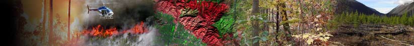
Data Products ›› Rapid Assessment

Rapid Asssessment Mapping and Modeling ZonesThe LANDFIRE Rapid Assessment (RA) was a regional-scale effort that produced maps and models of potential natural vegetation groups, reference fire regimes, and fire regime condition class for the conterminous United States. The LANDFIRE Rapid Assessment data can be used for national- to regional-scale strategic planning, broad ecological assessments, and resource allocation. Rapid Assessment products are designed to fill data needs ahead of the incremental release of LANDFIRE National products across the U.S., and RA data will be replaced by LANDFIRE National data as they become available.

For more information about the Rapid Assessment's relationship to LANDFIRE National, click here.

Note that LANDFIRE National Vegetation Dynamics Models are now available; these include models developed independently of the LANDFIRE Rapid Assessment reference condition models as well as a refinement of Rapid Assessment information.


LANDFIRE Rapid
Assessment Data

now available

Red Spacer Rapid Assessment Condition Models

Red Spacer
Helpful Tools to
assist users of
LANDFIRE data

Red Spacer

FeedbackAre you using LANDFIRE data? We want your feedback!

Red Spacer

NEWLANDFIRE National
Vegetation Dynamics Models
now available

Red Spacer
How do I cite LANDFIRE
data products?

Rapid Assessment Alerts
Back to Home USDA Forest Service space Fire Lab space United States Geological Survey space The Nature Conservancy space U.S. Department of the Interior space