USGS - science for a changing world

Natural Hazards

Maps, Imagery, and Publications Hazards Newsroom Education Jobs Partnerships Library About USGS Podcasts/RSS

USGS Responds to Southern California Fires

The USGS continues to mobilize equipment and personnel to gather the scientific data and information to assess the potential risk for debris-flow, increased flood risk, water quality degradation, and damages to ecosystems. Learn more (PDF).

Landslide and Debris-Flow Impacts

2005 La Conchita landslide

Satellite Imagery and other Geospatial Data

Satellite imagery of smoke from California wildfires. Credit: NASA
Photo collage for fire related items

News Releases

news release

Monitor Streamflow Conditions Post-Fire
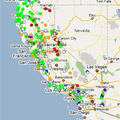
Image of real-time streamflow data for California

Publications

Partial cover of Riding the Storm USGS video

Additional USGS Information

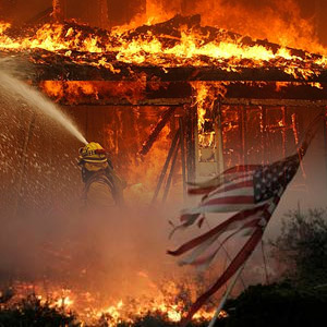
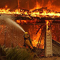
Firefighter extinguishing flames consuming a home.

NOTE: The videos below are offered in Quicktime format. You can also download the videos, instead of playing them directly in your browser, by right-clicking the "Direct download" link choosing "Save Link As" or "Save Target As" option.

Federal Resources

capitol, flag and eagle


Accessibility FOIA Privacy Policies and Notices

Take Pride in America logo USA.gov logo U.S. Department of the Interior | U.S. Geological Survey
URL: http://www.usgs.gov/hazards/wildfires/ca/default.asp
Page Contact Information: Ask USGS
Page Last Modified: Wednesday, December 17, 2008