| Charts
Purchase NOAA paper nautical charts from certified agents. These charts meet carriage requirements for vessels.
Download free PDF nautical charts. Use PDF charts for planning voyages and personal use.
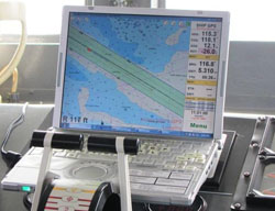
Download raster navigational charts (NOAA RNC®) and updates. Use RNCs in many consumer electronic charting systems.
Download electronic navigational charts (NOAA ENC®) and updates. Use ENCs with IHO-compliant electronic chart display and information systems (ECDIS).
Download BookletCharts™. Print these booklets at home, for recreational use.
Browse the Historical Map & Chart Collection. Search more than 35,000 images, covering 200 years.
Download historical publications, including The American Coast Pilot (1796) and Notes on the Coast (1861).
Download free training charts in JPG. (These are not for navigation.) Check with certified agents for paper copies. |
Notifications
Keep track of chart updates (Notice to Mariners corrections).
Find out what changed on new editions.
See Dates of Latest Editions.
Use this form for Permit/Public Notice Completion Reports.
Publications
Purchase or download nine volumes of the United States Coast Pilot®, containing supplemental navigational info.
Download chart catalogs to print at home.
Download or purchase U.S. Chart No. 1, the key to nautical chart symbols.
View or download Distances between United States Ports, measured along navigable tracklines.
Download the 2016 Edition of the U.S. Arctic Nautical Charting Plan. |