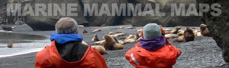
Marine Mammal Maps
Spatial data is critical to fulfilling NOAA Fisheries' mission along the West Coast. The location of marine mammals, habitat, and human activities, and where and how they interact, are analyzed and visualized with specialized tools. Below you will find critical habitat maps for Southern Resident killer whales and Steller sea lions and the GIS data layers as well. We have also mapped the boundaries of our Marine Mammal Stranding response areas on three separate maps, harbor seal pupping areas and Steller sea lion haulout areas.
Cetacean Maps & Data
Southern Resident Killer Whale Critical Habitat, Color NOAA Map  160kb
160kb
Southern Resident Killer Whale Critical Habitat , GIS Data 1.6MB
Southern Resident Killer Whale Critical Habitat , Map with FRN 1.21MB
Pinniped Maps & Data
Steller Sea Lion Critical Habitat Color NOAA Map 9.5kb
Steller Sea Lion Critical Habitat Map, GIS Data 25.4kb
Steller Sea Lion Critical Habitat Map within FRN 1.67MB
Steller Sea Lions- Washington 21MB
Steller Sea Lions- San Juans 3.2MB
Steller Sea Lions- Oregon 14MB
Steller Sea Lions- Oregon-Orford Reef 3.6MB
Steller Sea Lions- Oregon- Rogue Reef 3.2MB
Marine Mammal Stranding Network Maps
Marine Mammal Stranding Network Map-Washington 836kb
Marine Mammal Stranding Network Map-Puget Sound 753kb
Marine Mammal Stranding Network Map-Oregon 556kb
Marine Mammal Stranding Network Map-California, Live Stranded Marine Mammals 585kb
Marine Mammal Stranding Network Map- California, Dead Stranded/Floating Marine Mammals & Sea Turtles 533kb