The USDA Forest Service Shield.

 USDA Forest Service
Mt. Shasta Avalanche Center and Wilderness Dept.
(MSAC)
America's Enduring Wilderness Resource.  Silhouette of a wolf howling at the moon.


Mt. Shasta Ranger Station
| Shasta-Trinity National Forest, California | USDA Forest Service
Welcome to the Mt. Shasta Avalanche Center!  This web page provides climbers, skiers, snowboarders and other visitors with instant access to avalanche and climbing route advisories, plus online weather data and links for the Mt. Shasta area and beyond.
Man speaking through a bull horn
SUMMIT PASS:   3-day summit passes are $20 and available self issue at open trailheads and the Mt. Shasta Ranger Station.  They are also available during business hours at the McCloud Ranger Station and at some retail stores in northernCalifornia. 
The price for a Mt. Shasta Annual Summit Pass is $30 and is good from
January 1 to December 31. 
Annual Passes are currently only available at the Mt. Shasta and McCloud Ranger Stations from 8:00 am to 4:30 pm Mon-Fri, and
at The Fifth Season during business hours. 


Photo showing natural avalanche in Sun Bowl on Mt. Shasta which occurred on 12/19/08
Natural avalanche in Sun Bowl occurred 12/19/08 following 8-10 inches new snow and strong winds.  Photo:  Chris Carr/SMG


Snowboarder descending Avalanche Gulch on Mt. Shasta on 12/16/08.
Snowboarder descending Avalanche Gulch at 10,200 ft.
12/16/08.   photo by Chris Carr/SMG
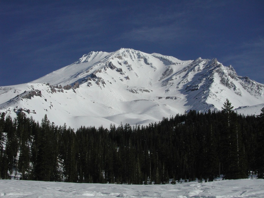
PRODUCTS
Avalanche Advisory
Climbing Route Advisory
Avalanche and Climbing Education
Accidents on Mt. Shasta
GIS Images of Potential Avalanche Starting Zones
Mt. Shasta
Castle Lake Area
Mt. Eddy Area
GIS Images of Mt. Shasta's routes!
Southwest Side
North Side
East Side
  Casaval ridge at sunrise showing strong north wind 12/26/08.
Casaval Ridge and strong NW winds.
Sunrise, 12/26/08.

Avalanche and Climbing Advisory
(530) 926-9613
Woman practicing with her avalanche transceiver and probe in the snow.
Time to change the batteries and remember how to
use your avalanche transceivers!


Photo of FMSAC board member Keith Potts next to the newly installed "Know Before You Go" sign on the Everitt Memorial Highway, Mt. Shasta, 12/28/08
FMSAC Board Member Keith Potts stands next to the newly
installed "Know Before You Go" sign on the Everitt Mem. Hwy.

Links Links
Friends of the
Mt. Shasta Avalanche Center
National Weather Service Mt. Shasta
Recreational Forecast
Shasta-Trinity National Forest Homepage   Mt. Shasta
Weather Data 
"So You Want To Climb Mt. Shasta!"

Access to the Mt. Shasta Wilderness
 Weather Maps and Satellite Images

National Avalanche Center
 Sierra Club Foundation
Horse Camp Homepage
American Alpine Club

American Avalanche Association
Permitted Guide Services
Shasta Mountain Guides
Sierra Wilderness Seminars
Alpine Skills International
Shasta Vortex Adventures
 

Link to All of the Avalanche Centers in North America


Painting of Panther meadow by naturalist, artist, musician Johnny Dame.
Painting of Panther meadow by naturalist, artist, musician, Johnny Dame.
More links:
USGS/Cascades Volcano Observatory
MOUNT SHASTA page
Mt. Shasta Snow Camera


For more information call (530) 926-451l,
Winter Hours: 8:00 AM to 4:30 PM, Monday - Friday.

Avalanche Specialists & Frozen Trash picker-uppers:  Eric White & ?
Climbing Rangers:   Eric White, Nick "Klaus" Meyers, Jon Dove & Forrest Coots
Mt. Shasta Avalanche Center and Wilderness Dept.

Mt. Shasta Ranger Station
Shasta-Trinity National Forest

204 West Alma Street
Mount Shasta, CA  96067
Accessibility | Disclaimer | Privacy Statement

View Stats http://www.shastaavalanche.org
photos by:   Eric White, Chris Carr, Mike Hupp.
updating of web page done by:  Eric White & Nick Meyers
original web design and training by Bob Musgrove