Link to USGS home page
USGS Home
Contact USGS
Search USGS
Coastal & Marine Geology InfoBank

USGS CMG IDs (Area CA67) Data & Metadata

Skip navigational links
Search InfoBank
Home tab FACS tab Activities tab Atlas tab Geology School tab More tab More tab Activities tabs
   
New Field Work: GE ( Future  Present )    Past (GE)    Field Schedules: ( Santa Cruz / Menlo Park   St. Petersburg   Woods Hole )    News: ( CMG   USGS   DOI )
Activities: by ID   by Platform   by Year   by Region   by Participant   by Organization   by Project/Theme   with Incomplete IDs   Disclaimer  
Activity First Letter: A   B   C   D   E   F   G   H   I   J   K   L   M   N   O   P   Q   R   S   T   U   V   W   X   Y   Z   0   1   2   3   4   5   6   7   8   9  
Virtual Globes: Atlas  (GE)    Samples  (GE)    Illuminate Oceans  (GE)    Earthquakes  (GE)    Get GE    InfoBank examples    State Waters
CA State Waters Quad: 1   2   3   4   5   6   7   8   9   10   11   12   13   14   15   16   17   18   19   20   21   22   23   24   25   26   27   28   29   30   31   32   33   34   35   36   37   38   39   40   41   42   43   44   45   46   47   48   49   50   51   52   53   54   55   56   57   58   59   60   61   62   63   64   65   66   67   68   69   70   71   72   73   74   75   76   77   78   79   80   81   82   83   101   102   103   104   105   106   107   108   109   110   111   112   113   114   115   116   117   118   119   120   121   122   123   124   125   126   127  
   
     Area: CA67 N = 34.22382, S = 34.05920, E = -119.14576, W = -119.34428
index map of area
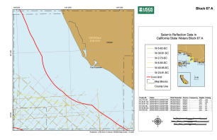
thumbnail image
     full image
     .pdf version
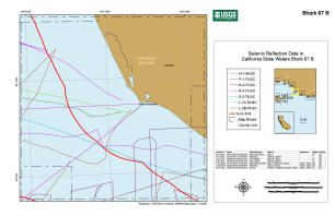
thumbnail image
     full image
     .pdf version
thumbnail image
     full image
     .pdf version
Field activities that cross the region.
BiologicalaAnd Geophysical
map of tracklines
M-1-03-SC
Box CoringaAnd Vibracoring
map of tracklines
S-3-04-SC
DiveaAnd Sampling
map of tracklines
W-1-05-SC
GeologicalaAnd Geophysical
map of tracklines
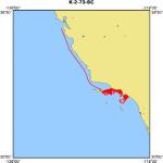
K-2-73-SC
map of tracklines
L-1-74-SC
map of tracklines
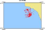
L-2-74-SC
map of tracklines
F-5-92-SC
Geophysical
map of tracklines
O-1-69-SC
map of tracklines
P-1-70-SC
map of tracklines
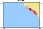
P-2-70-SC
map of tracklines
W-2-70-SC
map of tracklines
K-3-73-SC
map of tracklines
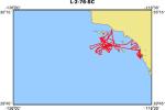
L-2-76-SC
map of tracklines
L-1-78-SC
map of tracklines
S-2-78-SC
map of tracklines
O-1-80-SC
map of tracklines
L-2-81-SC
map of tracklines
V-1-81-SC
map of tracklines
W-3-82-CC
map of tracklines
F-2-84-NC
map of tracklines
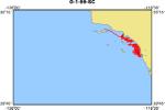
O-1-99-SC
map of tracklines
A-1-00-SC
map of tracklines
S-1-01-SC
map of tracklines
A-1-02-SC
Mooring Deployment
map of tracklines
S-3-07-SC
Piston Coring
map of tracklines
O-3-99-MB
Sampling
map of tracklines
O-2-99-SC
map of tracklines
Z-4-07-SC
Seismic
map of tracklines
Z-3-07-SC
SeismicaAnd Sidescan Sonar And Video
map of tracklines
B-1-98-SC
Sidescan Sonar
map of tracklines
M-1-02-SC
SidescanaAnd Submersible
map of tracklines
M-1-99-SC
Submetrix Swath BathymetricaAnd Video
map of tracklines
Z-2-06-SC
Unspecified
map of tracklines
S-1-80-SC
map of tracklines
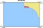
W-6-85-SC
map of tracklines
M-1-00-SC
map of tracklines
Z-1-07-SC

Skip footer navigational links


InfoBank   Menlo Park & Santa Cruz Centers   St. Petersburg Center   Woods Hole Center   Coastal and Marine Geology Program   Geologic Information   Ask-A-Geologist   USGS Disclaimer  

FirstGov button   Take Pride in America button