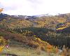
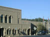
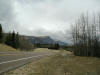
Mt. Werner near Steamboat Springs
October 2004
(Photo by Art Judson) |
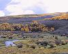
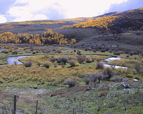
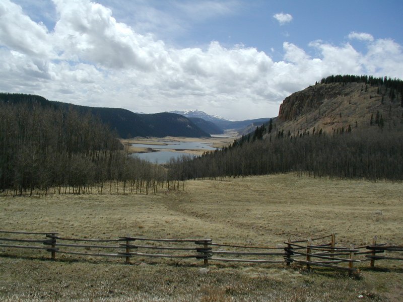
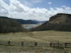
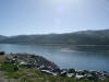
Oxbow on Oak Creek near Steamboat Spgs
October 2004
(Photo by Art Judson) |
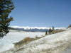
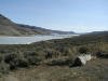
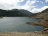
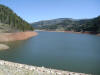
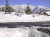
Snow on Matchless Mountain, beyond Taylor Park Reservoir
(Gunnison Co, CO)
10/04/04 |
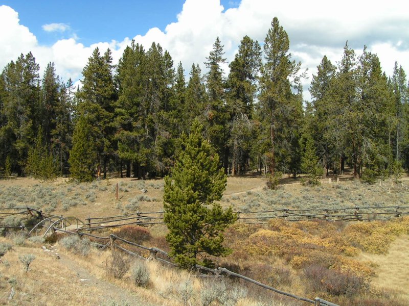
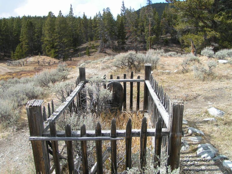
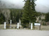
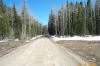
Cemetery near Tin Cup, Colorado
(Gunnison Co)
10/04/04 |
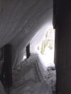
Cemetery near Tin Cup, Colorado
(Gunnison Co)
10/04/04 |

|
 |
 |
 |
 |
Fog across the Colorado National Monument
(January 2004) |
New Snow near Conifer, CO (3/18/03)
(Photo by George Schamel) |
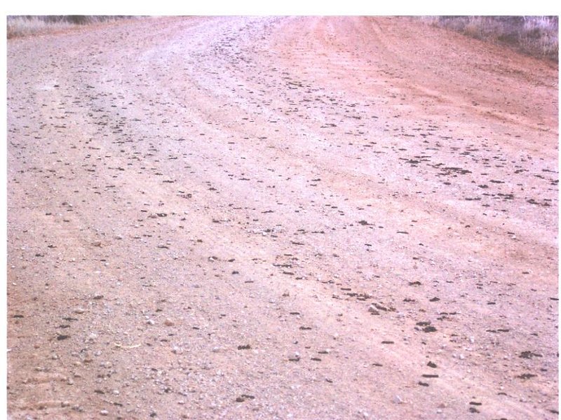
Army Worms invade Cedar Point, UT
(Photo by Oscar Semadeni) |

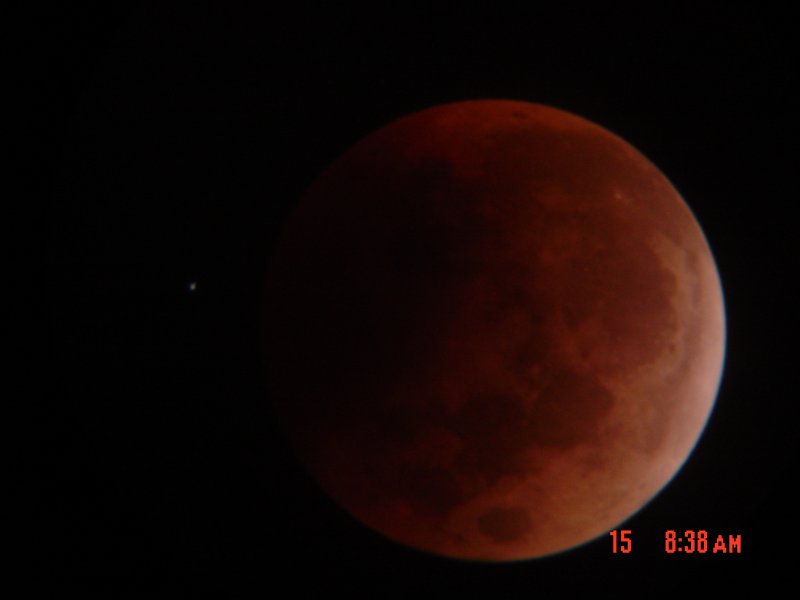
Lunar Eclipse (5/15/2003) seen from Grand Junction (Photo actually taken at 9:38 p.m. MDT by Jim Stryder) |
Lane Gulch fire, north of Grand Junction
(8/5/03) |
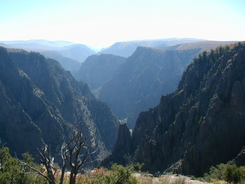
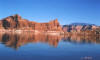
Black Canyon of the Gunnison River
(Summer 2004) |
 |
 |
 |
 |
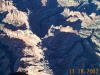 |
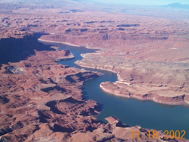
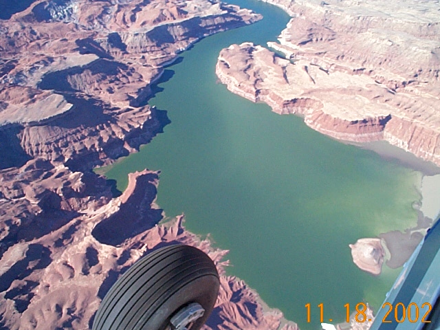
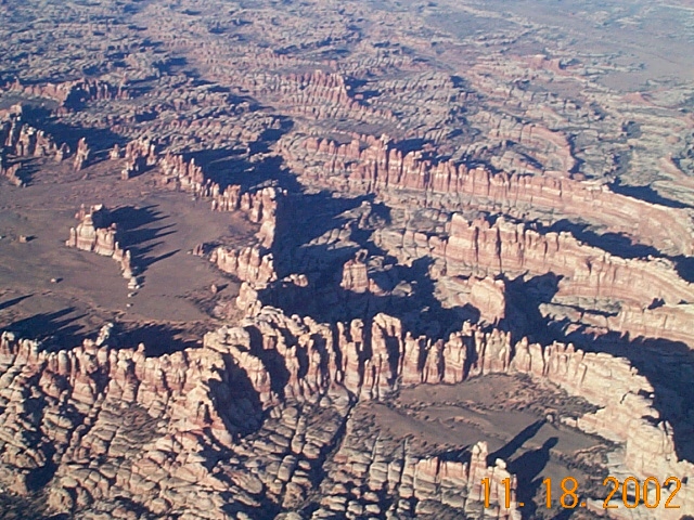
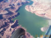
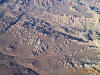
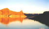
Lake Powell and Southeast Utah, by Air
(11/18/02) |
 |
 |
 |
 |
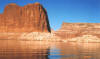 |
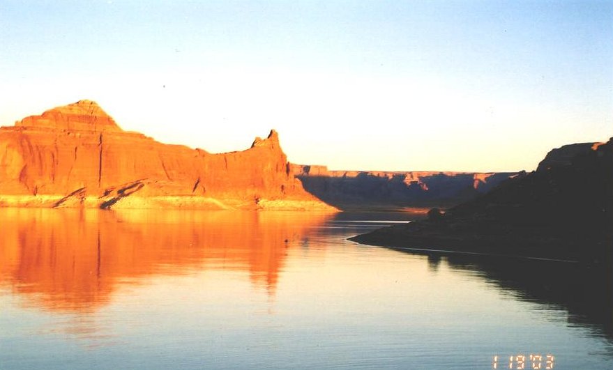
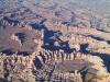
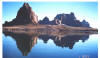
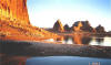
Lake Powell, southeast Utah
(1/19/2003) |
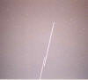
International Space Station and Shuttle "Atlantis" over Grand Junction (10/18/02)
(Photo by Jim Stryder) |

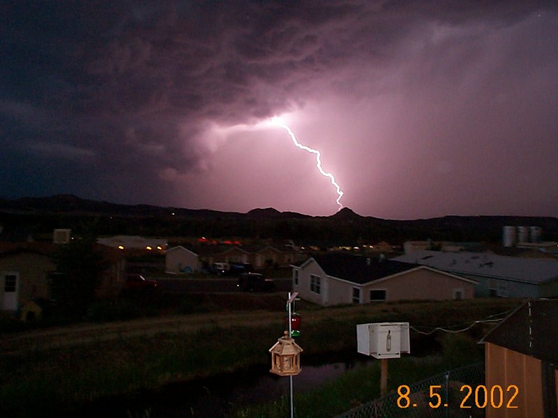
Thunderstorm near Silt, CO
(Photo by Jim Evans)
|
Maroon Bells
(Photo by Art Judson) |
Park Range Vista
east of Clark, CO
(Photo by Art Judson) |
Pyramid Peak
from Dunkley Pass
(Photo by Art Judson) |
Pagosa Springs, CO
Webcam Camera |
Alferd Packer
massacre site (1874)
(near Lake City, CO)
|
Bristol Peak
12,706'
(Mineral Co, CO) |

Mountain Snow in May 2002
(Hinsdale Co, CO) |
Rio Grande River Headwaters
(Hinsdale Co, CO) |
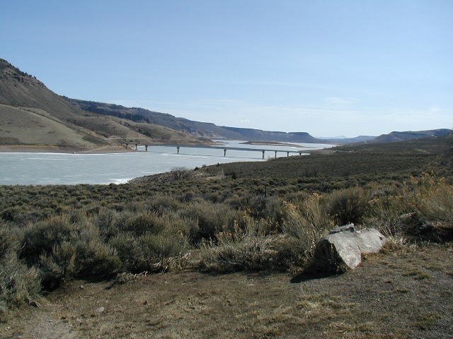
Blue Mesa Reservoir
April 2002
(Gunnison Co, CO)
|
Taylor Park Reservoir
April 2002
(Gunnison Co, CO)
|
Rio Grande Reservoir
May 2002
(Hinsdale Co, CO) |
Vallecito Reservoir
May 2002
(La Plata Co, CO) |
Lemon Reservoir
May 2002
(La Plata Co, CO) |
April 2002 Low Snowpack near Columbine Pass, Uncompahgre Plateau (~10,000')
(Photo by Phil & Carol Nesius) |
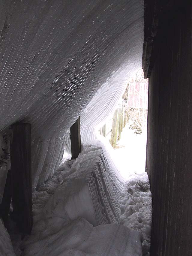
Flowing Snow/Ice from building roof -
Steamboat Springs
(Photo by Art Judson) |
International Space Station over Grand Junction
(Photo by Jim Stryder) |
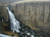
North Clear Creek Falls during a Light Snow
(Hinsdale Co, CO) |
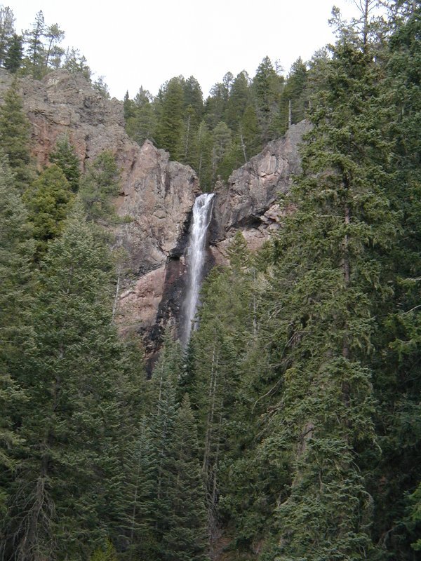
Treasure Falls
(Mineral Co, CO) |
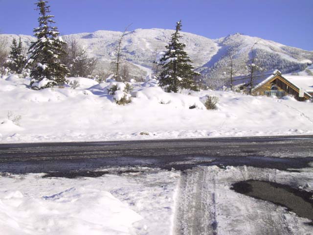
Steamboat Springs Ski Area
November 2001
(Photo by Art Judson) |

Hahn's Peak
Nov. 2001
(South of Steamboat Lake)
(Photo by Art Judson) |
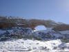
Wilson's Arch
San Juan Co, UT |
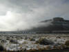
Foggy Day
North of Moab, UT |
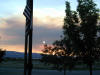
Smoke-Filled Sunset over Grand Junction Sep. 2001
|
Continue to Page 2 of the Image Gallery |