Archived NAIP Data Skip repetitive navigation links.
United States Department of AgricultureFarm Service Agency
 Go to APFO Home  Go to APFO Home  Go to FSA Home  Go to About APFO  Forms  Go to Help  Go to Contact Us
Search FSA
 FSA APFO
 All USDA
Go To Advanced Search
Go To Search Tips
Browse by Subject
Go to Imagery Products
Go to Imagery Programs
Go to Status Maps
Go to Contract Services
Go to Meetings
Go to Support Documents
Go to Geospatial Services
Status Maps

Archived NAIP Data

 
Archived NAIP Data consists of 2002 - 2007 NAIP Maps:

 
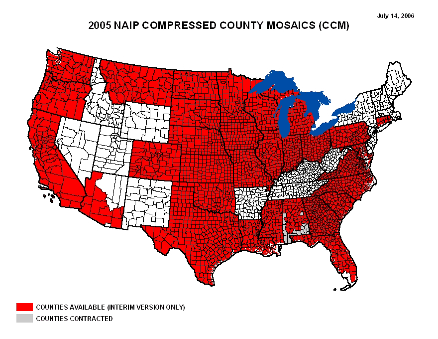
These archived maps include: NAIP Coverage Maps, Contractors Maps, Acquisition and Imagery Status Maps, DOQQ Inspection Status Maps, Compressed County Mosaic Maps, and Digital or Film Acquisitions Maps


NAIP Flight Planning Cycle 1


2007 Maps

 
NAIP07 Coverage


NAIP07 Acquisition


NAIP07 Compressed County Mosaic


NAIP07 Compressed County Mosaic


PLEASE NOTE: The ordering of any quarter quad tiles cannot occur until the project has been completely accepted. Any questions regarding quarter quad tiles, please direct them to Bridget Barlow at bridget.barlow@slc.usda.gov.


NAIP07 Film Digital


NAIP07 Contractors


2006 Maps

 
NAIP06 Acquisition GIF


NAIP06 Final Acquired Coverage


NAIP06 Acquisition GIF


NAIP06 CCM - GIF


NAIP06 DOQQ Inspection Status - GIF


PLEASE NOTE: The ordering of any quarter quad tiles cannot occur until the project has been completely accepted. Any questions regarding quarter quad tiles, please direct them to Bridget Barlow at bridget.barlow@slc.usda.gov.


NAIP06 Color CIR - GIF


NAIP06 Film Digital - GIF


NAIP06 Contractors


2005 Maps

 
Please note, click on the small map to see a larger version or click on the PDF version to see a larger map that you can download:

 
2005 NAIP Coverage Map


2005 Acquisition & Imagery Status Map
Imagery Progress Map for 2005


2005 DOQQ Inspection Status
DOQQ Inspection Status Map


PLEASE NOTE: The ordering of any quarter quad tiles cannot occur until the project has been completely accepted. Any questions regarding quarter quad tiles, please direct to Bridget Barlow at bridget.barlow@slc.usda.gov.


2005 Compressed County Mosaic (CCM)
2005 Compressed County Mosaic Map


2005 Digital or Film Acquisitions
2005 Digital or Film Acquisitions Map


2005 Contractor Map
2005 NAIP Contractors Map


2004 Maps

 
2004 NAIP Coverage Map
NAIP 2004 Coverage Map


2004 Acquisition & Imagery Status Map
2004 Imagery Status Map


2004 DOQQ Inspection Status
2004 Inspection Status Map


PLEASE NOTE: The ordering of any quarter quad tiles cannot occur until the project has been completely accepted. Any questions regarding quarter quad tiles, please direct to Bridget Barlow at bridget.barlow@slc.usda.gov.


2004 Compressed County Mosaic Map
Compressed County Mosaic Map


2004 Digital or Film Acquisitions Map
2004 Digital and Film Acquisitions Map


2004 Contractor Map
2004 Contractor Map


2004 CIRP and Natural Color Coverage Map
CIRP and Natural Color Coverage Map


2003 Maps

 
2003 NAIP Coverage Map


2002 Maps

 
2002 NAIP Coverage Map


Related Topics
 Bullet Archived NAIP Data
 Bullet Geospatial Data Warehouse (GDW)
Media Help
 To view PDF files you must have Adobe Acrobat Reader installed on your computer.

To view Flash files you must have Macromedia Flash Player installed on your computer.

 APFO Home | FSA Home | USDA.gov | Common Questions | Site Map | Policies and Links
FOIA | Accessibility Statement | Privacy Policy | Nondiscrimination Statement | Information Quality | USA.gov | White House