
Central Midwest Water Science Center
Home
Welcome to the Central Midwest Water Science Center’s (CMWSC) Website. We offer information on streamflow, water quality, water-use, and groundwater data for Illinois, Iowa, and Missouri. We conduct unbiased, scientific hydrologic investigations & research projects to effectively manage CMWSC and our Nation's water resources through joint efforts with our partners.


News

USGS Unveils Mobile Flood Tool for the Nation
The U.S. Geological Survey announced Friday the completion of a new mobile tool that provides real-time information on water levels, weather and flood forecasts all in one place on a computer, smartphone or other mobile device.

USGS Responds to Spring Flooding
U.S. Geological Survey field crews are measuring flooding across the country as spring weather is in full swing. Warming temperatures, increased precipitation and snowmelt have caused moderate to major flooding in the upper Midwest, East Coast, Central Plains and the Southeast portions of the country.

USGS Mobile Water Quality Sensor on Mississippi River Boat
U.S. Geological Survey expands its network of water-quality sensors to include the American Queen Steamboat as she travels the entire length of the Mississippi River collecting nutrient levels and water-quality data along the way. (Image Courtesy: Iowa Public Radio, Iowa City, Iowa, limited use USGS only)
Publications
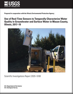
Use of real-time sensors to temporally characterize water quality in groundwater and surface water in Mason County, Illinois, 2017–19
The persistence of high nitrate concentrations in shallow groundwater has been well documented in the shallow glacial aquifer of Mason County, Illinois. Nitrates in groundwater can be a concern when concentrations exceed 10 milligrams per liter in drinking water. Additionally, nitrate in groundwater can contribute to surface water nitrogen loads...
Gruhn, Lance R.; Morrow, William S.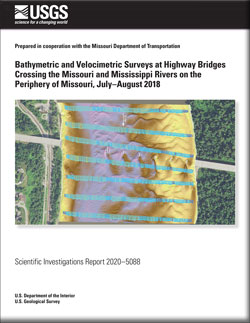
Bathymetric and velocimetric surveys at highway bridges crossing the Missouri and Mississippi Rivers on the periphery of Missouri, July–August 2018
Bathymetric and velocimetric data were collected by the U.S. Geological Survey, in cooperation with the Missouri Department of Transportation, near 7 bridges at 6 highway crossings of the Missouri and Mississippi Rivers on the periphery of the State of Missouri from July 16 to August 13, 2018. A multibeam echosounder mapping system was used to...
Huizinga, Richard J.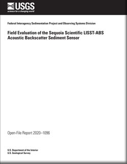
Field evaluation of the Sequoia Scientific LISST-ABS acoustic backscatter sediment sensor
Sequoia Scientific’s LISST-ABS is a submersible acoustic instrument that measures the acoustic backscatter sensor (ABS) concentration at a point within a river, stream, or creek. Compared to traditional physical methods for measuring suspended-sediment concentration (SSC), sediment surrogates like the LISST-ABS offer continuous data that can be...
Manaster, Adam E.; Straub, Timothy D.; Wood, Molly S.; Bell, Joseph M.; Dombroski, Daniel E.; Curran, Christopher A.