

- DESCRIPTION
- LOCATION
- SPECIES USE
- ACTIVITIES
- MULTIMEDIA
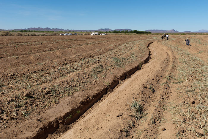
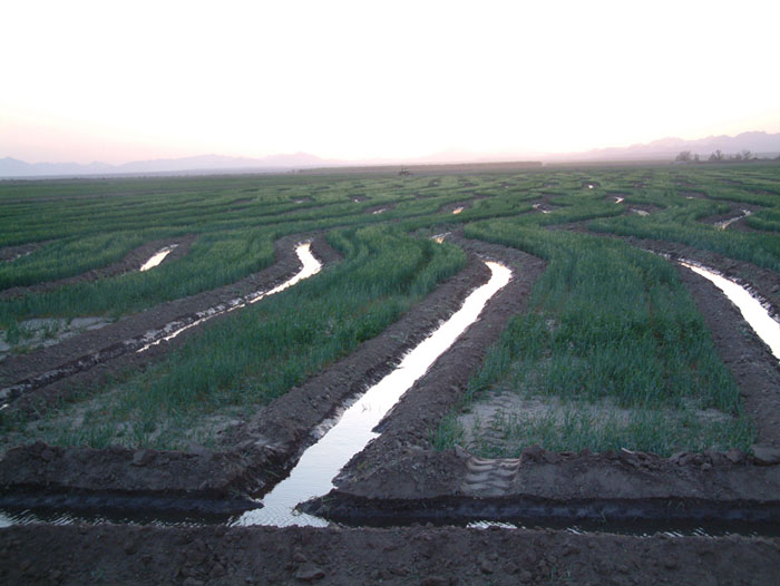
In 2007, the Bureau of Reclamation secured 1,309 acres of land within the Cibola Valley Irrigation and Drainage District in southwestern Arizona and established the Cibola Valley Conservation Area (CVCA). In September 2007, the property was conveyed to the Arizona Game and Fish Department (AGFD) through an agreement among AGFD, Reclamation, Mohave County Water Authority, and The Conservation Fund. Under the agreement, AGFD retains title to the property and leases the land and water rights to Reclamation until April 5, 2055 as part of the Lower Colorado River Multi-Species Conservation Program (LCR MSCP). Several farmers also have short-term leases on portions of the land for crop production until the LCR MSCP initiates restoration activities.
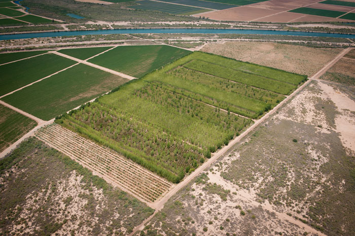
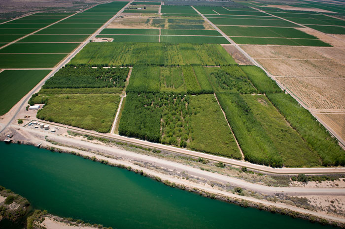
Within the CVCA, Reclamation is planting former agricultural fields with native riparian cottonwood-willow and mesquite habitats for species defined in the LCR MSCP Final Habitat Conservation Plan, including the southwestern willow flycatcher and yellow-billed cuckoo.
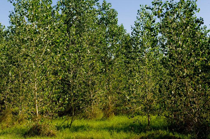
Cottonwood, willow, and honey mesquite are planted to create an integrated mosaic of habitats resembling riparian communities that were historically present in the Colorado River floodplain. When feasible, areas of standing water or moist soil, and open areas with ground cover and low shrubs are incorporated into the design.
The CVCA will be developed over a number of years through phased restoration activities. A phase-specific restoration plan is prepared each fiscal year, which documents the planning, design, planting, and monitoring requirements of that phase. An annual report is prepared each year summarizing restoration and monitoring activities conducted during the previous year.
To date, 452 acres in Phases 1, 2, 3, 8, and 9 have been mass-planted with riparian habitat in varying densities and tree species to help determine the most suitable planting methodology. Additionally, 477 acres of mesquite, atriplex, and a native seed mixture was planted and established in Phase 4, 5, 6, and 7.
A fact sheet for this Conservation Area can be found here. Technical Reports for this Conservation Area can be found here.
Updated January 7, 2020
Cibola Valley Conservation Area, located in Arizona between river miles 99-104, consists of 1309 acres of land within the Cibola Valley Irrigation and Drainage District, which is being converted from a mix of active agricultural fields and undeveloped land into cottonwood-willow, honey mesquite, and desert uplands. The property, owned by Arizona Game and Fish Commission, is accessed via paved roads. You can find additional information on their main website at this link or at the LCR MSCP link here.
For specific information on the Conservation Area, please contact Terry Murphy, Restoration Group Manager, at (702) 293-8140 or via email at tmurphy@usbr.gov.
The image below shows a close up of the conservation area.

Each Conservation Area targets certain LCR MSCP covered and evaluation species habitats. Below on the left is a list of the LCR MSCP species in which habitat will be targeted for creation for this particular conservation area. To the right is a list of LCR MSCP species that, through monitoring, have been found utilizing the conservation area.
| Targeted LCR MSCP Species | LCR MSCP Species Utilizing Site |
| Riparian Obligates | Riparian Obligates |
| Arizona Bell's Vireo | Arizona Bell's Vireo (breeding) |
| Elf Owl | |
| Gilded Flicker | |
| Gila Woodpecker | Gila Woodpecker (breeding) |
| Sonoran Yellow Warbler | Sonoran Yellow Warbler (breeding) |
| Southwestern Willow Flycatcher | |
| Summer Tanager | Summer Tanager (breeding) |
| Vermilion Flycatcher | Vermilion Flycatcher (transient) |
| Yellow-Billed Cuckoo | Yellow-Billed Cuckoo (breeding) |
| Bats, Small Mammals, and Insects | Bats, Small Mammals, and Insects |
| California Leaf-Nosed Bat (foraging) | |
| MacNeill's Sootywing | MacNeill's Sootywing (breeding) |
| Pale Townsend's Big-Eared Bat (foraging) | |
| Western Red Bat | Western Red Bat (foraging/roosting) |
| Western Yellow Bat | Western Yellow Bat (foraging/roosting) |
| Colorado River Cotton Rat (resident) |
Riparian Management
To date, approximately 618 acres of cottonwood-willow, honey mesquite, and upland buffer areas have been established within the CVCA. Irrigation, maintenance, and on-site management for the established habitat and areas are maintained throughout the year. Irrigation typically begins in March and concludes at the end of October. No additional plantings are scheduled until 2015.
Bird Monitoring
Surveys for covered birds are conducted annually. During the late spring and summer, presence surveys are conducted for riparian birds to document use of the conservation area for nesting, foraging, and migration. Riparian birds monitored include the listed southwestern willow flycatcher and yellow-billed cuckoo, and the following covered species: Arizona Bell’s vireo, Gila woodpecker, gilded flicker, Sonoran yellow warbler, summer tanager and vermilion flycatcher.
Mammal Monitoring
Small mammal live trapping is conducted annually to monitor presence of Colorado River cotton rats and desert pocket mice at the conservation area. Bat presence is monitored annually from June through August with net captures and remotely recording echolocation calls using a long-term Anabat™ station.
Insect Monitoring
Surveys are conducted for MacNeill’s sootywing to document presence of the species in the conservation area.
Acreage Map
This map shows the acreage for this area. You can click on the map for a larger view.
This gallery includes photos of this conservation area. If you require larger photos, please contact our webmaster Michelle Reilly at mreilly@usbr.gov.


