Integrated Ocean and Coastal Mapping


Map Once, Use Many Times

Data Sharing

Best practices in sharing of ocean and coastal mapping data include centralized access to data via repositories and inventories as well as the availability of value-added integrated data products. Participation in the full spectrum of data-sharing activities enables others to be aware of existing data so they can make informed survey planning decisions to optimize the use of scarce mapping resources. The IOCM community promotes data-sharing with the curation and management of ocean and coastal mapping data at national repositories, and through critical Web-based services to facilitate discovery and access. The links below represent resources that help facilitate data-sharing:

Data Repositories – How to Contribute Data

Map showing the extent of the U.S. coastal, ocean, and Great Lakes waters, extending to the outer limit of the exclusive economic zone.

DATA REPOSITORY AND INVENTORY

NCEI Bathymetry and Marine Geophysical Archives

National, International

Image of a ship breaking ice

DATA REPOSITORY

Lamont – Doherty Core Repository

National, International

The National Map, serving 3DEP Topo/Bathy and Topo LIDAR.

DATA REPOSITORY AND INVENTORY

The National Map, serving 3DEP Topo/Bathy and Topo LIDAR

National

Data Inventories and Registries – How To Find Data

Collage of data hosted by NCEI’s Coastal and Marine Geophysics Branch

DATA REPOSITORY AND INVENTORY

NCEI Bathymetry and Marine Geophysical Archives

National, International

Image of the US Interagency Elevation Inventory web portal.

DATA INVENTORY

U.S. Interagency Elevation Inventory

National

3D surface model.

DATA INVENTORY

USGS Coastal & Marine Geology Data Catalog

National, International
Image of a wind farm and a whale

DATA REGISTRY

U.S. Marine Cadastre

National

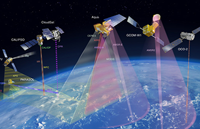
Image of satellites

DATA INVENTORY

NASA Earth Science Data and Information System

National, International

Image of the USGS National Map.

DATA REPOSITORY AND INVENTORY

The National Map

National

Image of the Digital Coast Website.

DATA REGISTRY

Digital Coast

National

Image of the NOAA GeoPlatform Website.

DATA REGISTRY

NOAA GeoPlatform

National

Integrated Data Products and Maps – How to Find Data Syntheses

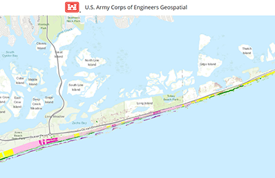
Image of JALBTX beach volume analysis web portal.

HAZARD MODEL

USACE Beach Volume Change Analysis

National


Image of FEMA Risk MAPs

HAZARD MODEL

FEMA Flood Risk MAP Projects

National

Image of USGS Coastal Change Hazards Portal Website

HAZARD MODEL

USGS Coastal Change Hazards Portal

National

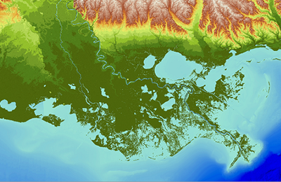
Image of USGS CoNED digital elevation model of coastal Louisiana

DIGITAL ELEVATION MODEL

USGS Coastal National Elevation Database (CoNED)

National

Image of NCEI digital elevation model.

DIGITAL ELEVATION MODEL

NCEI Coastal Elevation Models

National

Image of BOEM’s MMIS dashboard.

NATURAL RESOURCES – MARINE MINERALS

BOEM’s National Offshore Sand Inventory

National

Thematic map display on BioMapper

NATURAL RESOURCES – MARINE HABITAT

NOAA NCCOS BIOMapper

National, International

Image of the Oceans Report Tool website.

SUMMARY STATISTICS AND INFOGRAPHICS

OceanReports

National

Image of Sea Level Riser Viewer website.

HAZARD MODEL

NOAA Sea Level Rise Viewer

National


Image Coastal Flood Exposure website.

HAZARD MODEL

NOAA Coastal Flood Exposure Mapping

National