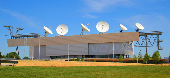
NOAA operates several satellites and a network of antennas and ground stations that collect, process, and distribute environmental data. Our satellites are part of a world-wide constellation that supports forecasting around the globe.

Satellite Operations
Our team operates a vast network of antennas and ground stations across the country responsible for providing 24/7 operation of our current satellites. These systems maintain the satellites precise orbits and provide the uninterrupted flow of environmental information forecasters and emergency managers rely on.

How Satellites Work
How do you test a satellite to make sure it can survive the rigors of launch? What is a satellite altimeter and how does it work?

Currently Flying
GOES East and West, Jason-3, Suomi NPP, DSCOVR, and other stars of the fleet deliver data daily, powering forecast models, watches and warnings for all types of weather and environmental conditions.

International Satellites
No one country alone can afford to effectively monitor the entire Earth. NOAA uses data from partners around the globe to create a more complete understanding of our dynamic planet.

History
NOAA satellites have been operating for over 45 years. Check out a few of our favorites throughout history.

Flyout Chart
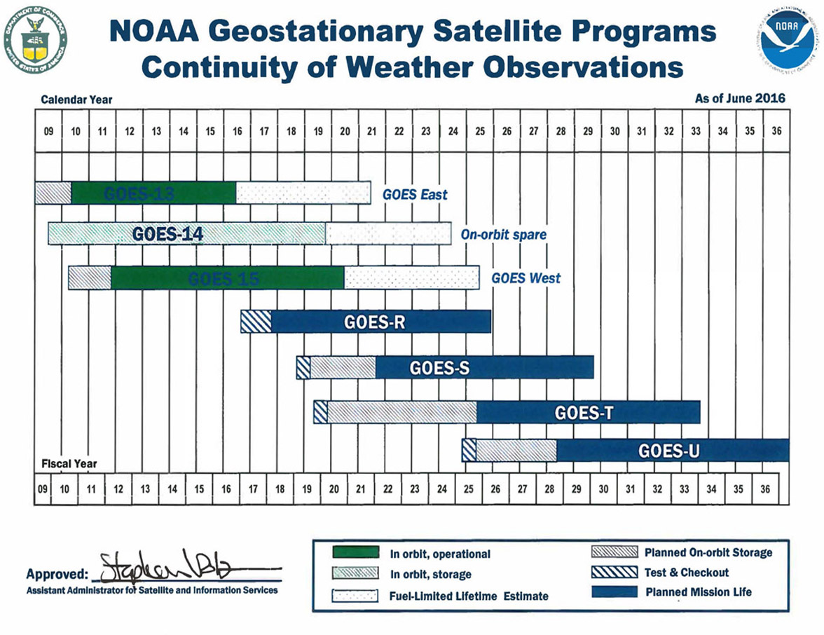
These charts contain official information on the expected operational lifespan of our satellites.


