Soil Survey work in Wisconsin began in the early 1900s shortly after the inception of the National Cooperative Soil Survey. On May 14, 2006, over 100 years of Wisconsin soil survey work was completed when the digital soils data for Iron County, Wisconsin was posted to the Soil Data Mart bringing digital soils coverage for Wisconsin to 100%. This accomplishment could not have been achieved without the National Cooperative Soil Survey program, which in Wisconsin is a joint effort of the NRCS and other federal, state, and local agencies. Principal state cooperators include the University of Wisconsin-Madison & Stevens Point, and the Wisconsin Geological and Natural History Survey.
In fall of 2016, NRCS Juneau Soil Science Staff provided an opportunity for private consultants and farmers to learn about "Soils on the Farm.” This allowed stakeholders to see soil profiles, learn about soil sampling and understand soil survey usage and limitations. Stake holders also learned about soil property differences between outside groups using soils data and interpretations, scale or mapping. Soil survey data seldom contains site-specific information and is not intended as a primary regulatory tool in site specific permitting decisions. They are however, useful for broad regulatory planning. Special thanks to Steve Hoffman for organizing the event and Soaring Eagle Dairy for hosting it.
Soil survey crews described and collected samples from the Kewaunee pit on-site. The soil profile did not match the Kewaunee series as it was an inclusion. The soil profile was described with silty clay loams at its densest part. Soil clods were collected to determine bulk density. This soil profile looked less dense than others in the Kewaunee area. However there was still very little root penetration into the heavy argillic layers, except along the cracks and soil ped faces. Scope and scale were also discussed along with intended use of soil survey products. Differences were discussed concerning soil properties, i.e. bulk density, and soil interpretations, i.e. permeability. The attendees appreciated the opportunity to learn more about densic soil layers and rooting depth.
The USDA Natural Resources Conservation Service (NRCS) in Wisconsin and the NRCS National Soil Survey Center have made available a new app, Pedon Vault, the first of its kind, to offer a national database of sites to visit in the field offering good exposures of soil profiles and data. Thus, the app name, Pedon Vault, a vault of three-dimensional samples of a soil large enough to show characteristics of all its horizons.
View the step-by-step user guide for more information.
We are in the process of developing a new Soil Interpretation for WI and have been working closely with many folks from several different Universities, Extensions, Resources Soil scientist, Soil Science Regions, National Soil Survey Center and Retired soil and state Soil Scientist. Read about the new soil interpretation here.
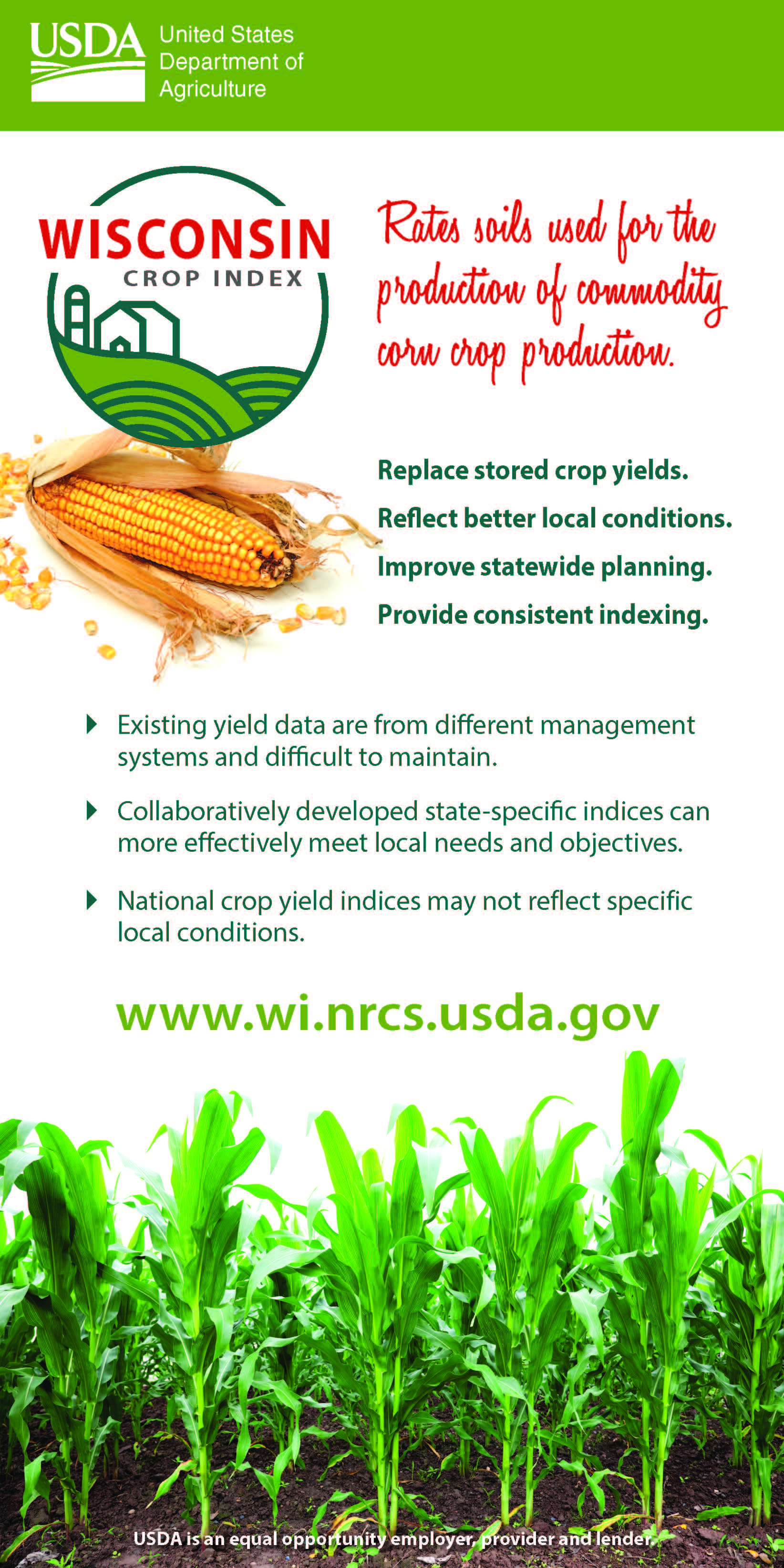
The Wisconsin Commodity Crop Productivity Indices for Corn will provide soil survey users with an inherent soil property based ranking of Wisconsin soils and map units for commodity crop productivity. The soil survey data, currently available via the national soil web applications, include only crop yield estimates from the original soil surveys indicating the performance of different areas of soils for certain crops. Many of these crop yield estimates are very outdated, inconsistent, and highly subjective to variable management inputs.
Using an interpretive index vs “Out of date stored data” the index can relate directly to the ability of soils, landscapes, and climates to foster crop productivity. Fluctuations in productivity caused by good or bad management and year-to-year variations in weather are not addressed. Productivity indices have the advantage of being less vulnerable to changes in technology than expressions of productivity based on yield. A mechanism that determines soil productivity in Wisconsin consistent across political boundaries and over time is needed for many uses. Crop varieties, management scenarios, and yields vary from place to place and over time, reflecting choices made by farmers. These factors partially mask inherent soil quality. Except for extreme circumstances, inherent soil quality or inherent soil productivity varies little over time or from place to place for a specific soil (map unit component) identified by NRCS soil surveys.
Background
much of the yield data in the soil database is out of date or is null
existing yield data are inconsistent and from different vintages and management
Replace stored crop yields.
Purpose
Reflect better local conditions.
Improve statewide planning.
Provide consistent indexing.
Summary
Existing yield data are from different management systems and difficult to maintain.
Collaboratively developed state-specific indices can more effectively meet local needs and objectives.
National crop yield indices may not reflect specific local conditions.
New Web Soil Survey Feature for Wisconsin
"Water Features" is located in Web Soil Survey and then under the Soil Data Explorer tab, Soils Reports sub-tab, and then the Water Features folder. This new table gives estimates of various soil water features. Estimates are used in land use planning involving engineering, wetland considerations or conservation planning. The new column, "water features" kind, was added to help users to determine if water table is saturated throughout or sitting on top of a restrictive root limiting pan. The report also aggregates similar months together making it simplistic and easy to read.
A cooperative soil survey workshop was held for many partners interested in NRCS-Wisconsin's Soil Program. Highlights in the workbook include soil data join correlations, maps, T and K factors, soil interpretations, technical soil services, wetland determinations, web soil survey, major land resource areas, and Wisconsin assistance available.
The SSURGO OnDemand Dynamic Spatial Interpretations Tool can process soils data from large geographic areas rapidly and is a one-stop shop for any number of soil survey areas at once for any and all interpretations or properties. It accesses authoritative soils data without the need for downloading external tabular data sets. Please direct questions and comments to Chad Ferguson at charles.ferguson@nc.usda.gov or Jason Nemecek at jason.nemecek@wi.usda.gov.
Download the tool below and directions:
Python scripts and ArcGIS SSURGO OnDemand toolbox: Click Here (676 KB ZIP) (updated 10/27/2016)
These Soil Health resources are designed to help visitors understand the basics and benefits of soil health – and to learn about Soil Health Management Systems from farmers who are using those systems.
So whether you’re a farmer, a researcher, a conservationist or an interested citizen, the information on this site will help you “Unlock the Secrets in the Soil.”
Web Soil Survey
Wisconsin and national digital soil maps, products, and data to meet the needs of our diverse users. Find out more here.
Soil Survey by MLRA
In 1995, NRCS reorganized the National Cooperative Soil Survey (NCSS) mapping program to a Major Land Resource Area (MLRA) basis in order to develop a seamless, higher quality digital soil survey of the U.S.
Antigo Silt Loam - Wisconsin's State Soil
Antigo Silt Loam is the Wisconsin State Soil. Antigo represents the many soils that support Wisconsin's economy and environment.
Bluff Prairie Ecological Site Descriptions Now Available
Recently, NRCS staff in Wisconsin and Minnesota completed the first two Ecological Site Descriptions (ESDs) for Wisconsin. These two ESDs represent the iconic “bluff prairie” ecosystems of Driftless region. These sites occur throughout the region, but become prominent along the south- and west-facing bluffs of the Mississippi and Wisconsin Rivers, and their tributaries. Often they are overgrown with eastern redcedar and other woody plants. Removal of these trees and shrubs along with introduction of prescribed fire often results in an impressive restoration of these important prairie ecosystems. These ESDs provide a synthesis and framework for the inventory, description, and restoration of these plant communities