- Home
-
Welcome to Region 6
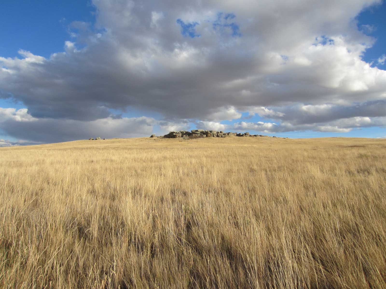
The Mountain-Prairie Region consists of 8 states in the heart of the American west including Colorado, Kansas, Montana, Nebraska, North Dakota, South Dakota, Utah and Wyoming.
- About Us
- Contact Us
- Regional Leadership
- FOIA Reading Room
- USFWS FOIA
-
-
Science
-
Science
The U.S. Fish and Wildlife Service has a long tradition of scientific excellence and always uses the best-available science to inform its work to conserve fish, wildlife, plants, and their habitat for the benefit of the American public.
- Climate Change
- Landscape Conservation
- Peer Review
- Surrogate Species
- Greater Sage Grouse Research
- Contact Us
-
- Refuges
-
National Wildlife Refuges
Where Wildlife Comes First
Created in 1903 by President Theodore Roosevelt, today's National Wildlife Refuge System protects habitats and wildlife across the country, from the Alaskan tundra to subtropical wetlands. Managed by the U.S. Fish and Wildlife Service, the Refuge System's 560-plus refuges cover more than 150 million acres and protect nearly 1,400 species of birds, mammals, reptiles, amphibians, and fish.
While national wildlife refuges were created to protect wildlife, they are for people too. Refuges are ideal places for people of all ages to explore and connect with the natural world. We invite you to learn more about and visit the national wildlife refuges and wetland management districts in Colorado, Kansas, Montana, Nebraska, North Dakota, South Dakota, Utah, and Wyoming.
- Visit a Refuge or District
- Cultural Resources
- Fire Management
- Refuge Planning
- Realty
- Habitat and Population Evaluation Team (HAPET)
- Biological Resources
- Law Enforcement
- Partners for Fish and Wildlife
-
- Ecological Services
-
Ecological Services
The Mountain-Prairie Region's Office of Ecological Services (ES) works to restore and protect healthy populations of fish, wildlife, and plants and the environments upon which they depend. Using the best available science, ES personnel work with Federal, State, Tribal, local, and non-profit stakeholders, as well as private land owners, to avoid, minimize, and mitigate threats to our Nation's natural resources.
- Field Offices »
- Endangered Species
- Energy
- Environmental Contaminants
- Natural Resource Damage Assessment & Restoration
- National Wetlands Inventory
- Conservation Planning
- Contact Us
-
- Migratory Birds
-
Migratory Birds
Providing leadership in the conservation of migratory bird habitat through partnerships, grants, and outreach for present and future generations. The Migratory Bird Program is responsible for maintaining healthy migratory bird populations for the benefit of the American people.
- Regional Priority Species
- Focal Species
- Duck Stamps
- Migratory Bird Treaty Centennial
- Joint Ventures
- Permits
- WSFR
-
- Fish & Aquatic
-
Fish and Aquatic Conservation
The U.S. Fish & Wildlife Service Fish and Aquatic Conservation Program in the Mountain-Prairie Region helps conserve, protect, and enhance aquatic resources and provides economically valuable recreational fishing to anglers across the country. The program comprises 12 National Fish Hatcheries.
- Home
- Offices & Hatcheries
- Fish & Aquatic Species
- Aquatic Invasive Species
- Programs
- Resources
- Contact Us
-
- Law Enforcement
-
Law Enforcement
Law enforcement is essential to virtually every aspect of wildlife conservation. The Office of Law Enforcement contributes to Service efforts to manage ecosystems, save endangered species, conserve migratory birds, preserve wildlife habitat, restore fisheries, combat invasive species, and promote international wildlife conservation.
- Laws Enforced
- Import/Exports
- Permits
- OLE Regional Offices
- OLE National HQ
- Contact Us
-
- External Affairs
-
External Affairs
External Affairs staff in the Mountain-Prairie Region of the U.S. Fish and Wildlife Service provides support to the regional office and field stations to communicate and faciliate information about the Service's programs to the public, media, Congress, Tribes, partners, and other stakeholders in the 8-state region.
- News & Releases
- Campaigns
- Social Media
- Tribal
- Fact Sheets
- Imagery
- Contact Us
-
About Us
Organization
Organization | Planning services | Comprehensive conservation planning program | Land protection planning program | Writing, editing and publishing program | GIS and mapping program | Open / close all
The Division of Refuge Planning is part of the National Wildlife Refuge System within the Mountain–Prairie Region of the U.S. Fish and Wildlife Service. The Service, a Federal agency within the U.S. Department of the Interior, has divided the United States into eight geographic regions. Region 6 is the Mountain–Prairie Region and covers Service programs in eight States: Colorado, Kansas, Montana, Nebraska, North Dakota, South Dakota, Utah, and Wyoming. The Division of Refuge Planning is in the regional headquarters in Lakewood, Colorado.
The National Wildlife Refuge System is a Service program and is the only network of Federal lands devoted specifically to wildlife conservation. Refuge System lands in the Mountain–Prairie Region cover more than 5 million acres within 125 national wildlife refuges and 24 wetland management districts.
Mission of the U.S. Fish and Wildlife Service
Our mission is working with others to conserve, protect, and enhance fish and wildlife and plants and their habitats for the continuing benefit of the American people.
Mission of the Refuge System
The mission of the National Wildlife Refuge System is to administer a national network of lands and waters for the conservation, management and, where appropriate, restoration of the fish, wildlife, and plant resources and their habitats within the United States for the benefit of present and future generations of Americans.
Refuge Planning Staff
Acting Division Chief
Toni Griffin
303 / 236 4378
toni_griffin@fws.gov
Cartographer
Linda Moeder
303 / 236 4384
linda_moeder@fws.gov
Planning Team Leader
(fish and wildlife biologist)
303 / 236 4377
bernardo_garza@fws.gov
Planning Team Leader
(landscape architect)
Toni Griffin
303 / 236 4378
toni_griffin@fws.gov
Planning Team Leader
(refuge specialist)
Laura King
406 / 644 2211 extension 210
Moiese, Montana
laura_king@fws.gov
Planning Team Leader
(outdoor recreation planner)
Laurie Shannon
303 / 236 4317
laurie_shannon@fws.gov
Writer-Editor/ Web Manager
Mitch Werner
303 / 236 4209
mitchell_werner@fws.gov
We do conservation planning for Service lands within the Mountain–Prairie Region. To carry out the full complement of planning, we have four programs: (1) comprehensive conservation planning; (2) land protection planning; (3) writing, editing, and publishing; and (4) Geographic Information System and mapping.
Mission of the Division of Refuge Planning
We bring excellence to planning and decision-making in Region 6 to shape the future of fish and wildlife conservation.
Comprehensive conservation planning program »
Managers of national wildlife refuges and wetland management districts use comprehensive conservation plans to carry out their land management responsibilities.
Division staff members prepare these plans by working with the refuge and district staffs and our conservation partners. We guide the planning process: collect current information, use cutting-edge technology to analyze data, involve the public and others, and present alternative solutions to Service decisionmakers. We prepare the documentation for the environmental analysis and the planning process for each plan.
Find out more about comprehensive conservation planning in Planning Overview.
Mission for comprehensive conservation planning
Through collaboration, we create comprehensive conservation plans to fulfill the mission of the National Wildlife Refuge System for the benefit of wildlife first. These plans are innovative, meaningful, and useful to enhance the refuges and the ecosystems in which they reside.
>
Plans for the Mountain–Prairie Region
You can find completed plans and plans in progress for the Mountain–Prairie Region in Comprehensive Conservation Plans. Select the link to a specific plan in progress and find out plan status, contacts, and opportunities for public involvement.
Land protection planning program »
We use land protection plans to analyze and make recommendations about (1) expansion of existing refuge and district lands, (2) establishment of new refuges and district lands, and (3) strategies for landscape protection.
Division staff members prepare these plans by working with Service staffs and our conservation partners. We guide the planning process: collect current information, use cutting-edge technology to analyze data, involve the public and others, and present alternative solutions to Service decisionmakers. We prepare the documentation for the environmental analysis and the planning process for each plan.
Find out more about land protection planning in Planning Overview.
Mission for land protection planning
We bring leadership, through sound science and innovation, to the process of protecting habitat for the long-term sustainability of Fish and Wildlife Service trust species.
Plans for the Mountain–Prairie Region
You can find completed plans and plans in progress for the Mountain–Prairie Region in Land Protection Plans. Select the link to a specific plan in progress and find out plan status, contacts, and opportunities for public involvement.
Writing, editing, and publishing program »
A professional writer–editor writes parts of our planning documents and thoroughly edits these documents. We use the Style Manual of the United States Government Printing Office. We also refer to up-to-date references including general and scientific dictionaries, usage guides, and style manuals.
We prepare graphics and layout for all planning documents. In partnership with the Government Printing Office, we print and distribute plans and other documents.
Our writer–editor manages this Web site and prepares planning documents for Web site publication.
Mission for writing, editing, and publishing
Ensure quality writing and presentation to produce clear and meaningful products that support the mission of the Division.
Geographic information system (GIS) and mapping program »
We use GIS to analyze complex scientific information, for example, the locations of habitat types and the relationships between them as they occur on a refuge and the surrounding lands. These analyses are important to planning efforts. Service decisionmakers look closely at this information.
We develop, distribute, and archive the map products for comprehensive conservation plans, land protection plans, and realty projects.
Mission for GIS mapping
We support the latest GIS technologies to ensure that all maps are clear, usable, and readable. Where appropriate, these technologies assist in analyzing complex scientific information used for decisionmaking.
Page photograph: burrowing owls at Charles M. Russell National Wildlife Refuge, Montana. Copyright Diane Hargreaves.
Department of the Interior
USA.gov
About the U.S. Fish and Wildlife Service
Accessibility
Privacy
Notices
Disclaimer
FOIA