Remote Sensing and Surveillance
Remote sensing is data acquisition of objects or events without making physical contact with the object. Remote sensors can be either passive or active. Passive sensors (receive only, e.g. radiometer) respond to external stimuli and they record natural energy that is reflected or emitted from the Earth's surface. The most common source of radiation detected by aerial passive sensors is reflected sunlight. In contrast, active sensors (transmit/receive, e.g. radar) use internal stimuli to collect data about their target. Underwater remote sensing instruments and technologies are being developed based upon acoustics, fluorescence polarization , in-situ fluorometry, non-dispersive infrared, and in-situ mass spectrometry for deployment with Remotely Operated Vehicles (ROVs)/Autonomous Underwater Vehicles (AUVs) applications.
Remote sensing from an aircraft (including unmanned aerial vehicles [UAVs]) is the most common form of oil spill tracking. Remote sensing from satellites using radar sensors is becoming a viable alternative. The use of visual satellite imagery for monitoring oil spills shows promise. For underwater remote sensing, most oil spills can be accessed using ROVs and/or AUVs, however existing sensor packages need refinement to meet the needs of this environment. Currently a combination of sensors is used for oil spill surveillance, presenting challenges in data fusion and delays in getting the appropriate data to the response community. It is necessary to develop/advance new sensors and real-time data transmission technologies.
Objectives of the Remote Sensing portfolio include identifying & filling gaps in understanding of various remote sensing technologies and their applications in both aerial and underwater sensing platforms, developing a method and procedure for faster/real-time data transmission and processing, and measuring oil layer thickness by various remote sensing technologies including but not limited to satellite and Near Infrared (NIR)/IR.


Figure 1. Visible imagery (left) and imagery from the FLIR Systems T650sc Long-wavelength infrared (LWIR) camera (right)
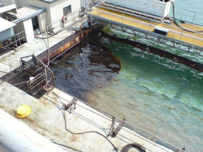

Figure 2. Simultaneous visible and LWIR images of oil on water at Ohmsett