Skip Navigation Linkwww.nws.noaa.gov 
NOAA logo - Click to go to the NOAA homepage National Weather Service   NWS logo - Click to go to the NWS homepage
Northeast River Forecast Center

Local forecast
by "City, ST"


Flash Flood Guidance


Latest 3-hour Flash Flood Guidance Graphic. Click on image to go to an interactive page.


Additional Flash Flood Guidance Graphics


Flash Flood Guidance Text Products


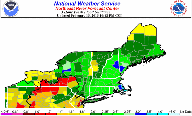
Flash Flood Guidance is an estimate of the amount of rainfall required over a given area during a given duration to cause small streams to flood. These estimates are based on the current soil moisture and stream flow conditions for the area. Flash Flood Guidance is routinely issued by National Weather Service (NWS) River Forecast Centers, and is used by NWS Weather Forecast Offices when issuing Flash Flood Watches and Warnings to the public. Note: Less rainfall is required to produce flash flooding in urban areas.

The Northeast River Forecast Center uses a gridded Flash Flood Guidance System. If you have any questions regarding Flash Flood Guidance, please contact David Vallee, Hydrologist-in-Charge at 508-824-5116 x232 or David.Vallee@noaa.gov.


Main Link Categories:
Current and Forecast River Conditions Maps, River Forecasts & Information, River Observations, Flash Flood Guidance, Flood Outlook Potential Graphic, Flood Statements, Hydrometeorology, Snow and River Ice, AHPS

US Department of Commerce
National Oceanic and Atmospheric Administration
National Weather Service
Northeast River Forecast Center
445 Myles Standish Blvd.
Taunton, MA 02780
Page Author: Northeast River Forecast Center
Page last modified: July 3, 2012
Disclaimer
Credits
Glossary
Privacy Policy
About Us
Career Opportunities