


Maps
- Arctic Region Reference Map with place names from the UT Perry-Castaneda Library
- Arctic Maps showing conservation of Arctic Flora and Fauna from United Nations Environment Programme
- Arctic Environmental Atlas from United Nations Environment Programme
- Collection of Arctic Maps from the University of Texas Perry-Castaneda Library
- View the the globe with topography from the North Pole and other orientations
- Place names in the Arctic Region map from University of Texas
- Bering Sea - Bathymetry, currents, Islands, Habitats
- Bering and Chukchi Sea Bathymetry GIS coverages
- North Pacific Ocean - Bathymetry, currents, Islands
- International Bathymetric Chart of the Arctic Ocean (IBCAO)
- Russian City Maps from Hamilton Global Management, Ltd
- Arctic National Wildlife Refuge Maps - from US Fish & Wildlife Service - Alaska
- Arctic National Wildlife Refuge Maps - from www.ccarto.com
- ARCUS map links from Arctic Research Consrotium of United States
- Arctic Maps showing ice, temperature, explorers routes, and more from Athropolis.com
- Barents Region maps from the Barents portal website
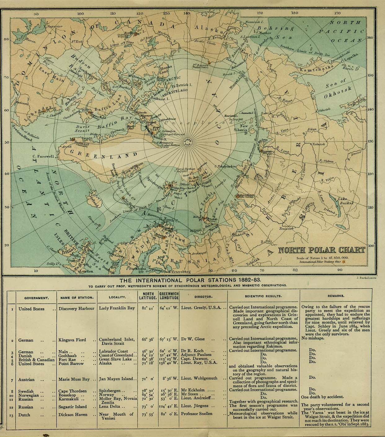
- Historical map of the North Pole (1885) from the UT Perry-Castaneda Library
- Historical maps of Polar regions and oceans from the UT Perry-Castaneda Library
- Expeditions Maps and Interactive Maps from the Arctic/Antarctic Polar Challenges website
- Alaska maps from alaskais.com
- Canada maps and Canada geographical names from Natural Resources Canada (topographic maps, snow cover and agriculture maps)
- Aboriginal Map Gallery from the Aboriginal Mapping Network (Gitxsan and Ahousaht First Nations and Ecotrust Canada)
- Suomi - Finalnd clickable map from Finnish Ministry of Education
- Norway map from Infoplease.com
- Russia maps - clickable map, from the Invest in Russia network
- Sweden interactive maps - from National Atlas of Sweden
- Arctic images from the Danish Polar Center
- Arctic flora and fauna maps - from CAFF
- Maps and Graphics from United Nations Environmental Program