Community-Scale 50-Meter Wind Maps
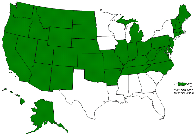
Wind Powering America provides 50-meter (m) height, high-resolution wind resource maps for most of the states and territories of Puerto Rico and the Virgin Islands in the United States. Counties, towns, utilities, and schools use community-scale wind resource maps to locate and quantify the wind resource, identifying potentially windy sites determining a potential site's economic and technical viability.
About the 50-Meter Wind Resource Maps
When the 50-m height maps were first developed many utility-scale wind turbines were being installed at around 50 m high. This hub height is still a very popular height for midsize and community-scale wind projects. Since the development of these maps, the numerical model improvements and increased availability of measurement data has resulted in better wind maps at 80-100-m heights for current utility-scale turbines. These 50-m height maps still provide useful insight for the identification of energetic sites for community-scale projects.
If you are interested in how the NREL maps are created, validated, etc., please read, Geographic Information Systems in Support of Wind Energy Activities at NREL or many of the other wind resource and GIS publications in the NREL Publications database (search using author Dennis Elliott). High resolution wind data files are also available.