The browser does not support javascript.
Data Versioning Alerts Data Notifications

Homepage Contact us FAQs Sitemap  


close

close

close


LANDFIRE Data Distribution Site


space holder

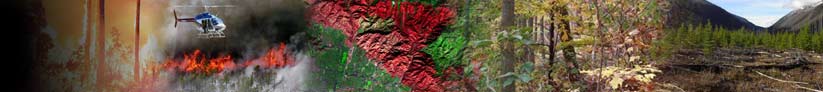
Data Products ›› Overview

LANDFIRE delivers vegetation, fuel, disturbance, and fire regimes geospatial data products for the entire nation. Methods are based on peer-reviewed science from multiple fields. LANDFIRE products are consistent, comprehensive, and standardized, resulting in multiple applications to fire, fuel, and natural resources.

Get data on the Data Distribution Site or use the LANDFIRE Data Access Tool.

Select the version of data that meets your needs
LF Version Comparison Table
Version Descriptions
LANDFIRE 2010 (LF2010 – LF_1.2.0)Spring 2013 delivery
Vegetation, fuel, topography, fire regimes, and disturbance
LANDFIRE 2008 (Refresh – LF_1.1.0)Vegetation, fuel, topography, fire regimes, and disturbance
LANDFIRE 2001 (Refresh – LF_1.0.5)
LF_1.0.0 (National)
Vegetation, fuel, topography, and fire regimes
ArchivesLimited data suite
Comprehensive version analyses reports
LANDFIRE 2008 (Refresh – LF_1.1.0)
Reports delineated by LANDFIRE Geographical Areas
Data evaluation
National c2001 (LFc2001)
Assessments and feedback


Attention!
At what scale should
LANDFIRE data be used?
Red Spacer Red Spacer
space
Back to Home USDA Forest Service space Fire Lab space United States Geological Survey space The Nature Conservancy space U.S. Department of the Interior space
space