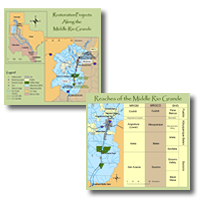
Rio Grande by A. Molles

Middle Rio Grande Basin

The upper map shows where the Middle Rio Grande Basin is located in relation to U.S. and Mexican states, as well as within the U.S. state of New Mexico.
Thumbnails of the Middle Rio Grande and its reaches

Reaches of the Middle Rio Grande
The lower map clarifies the various delineations of reaches within the Middle Rio Grande Basin.
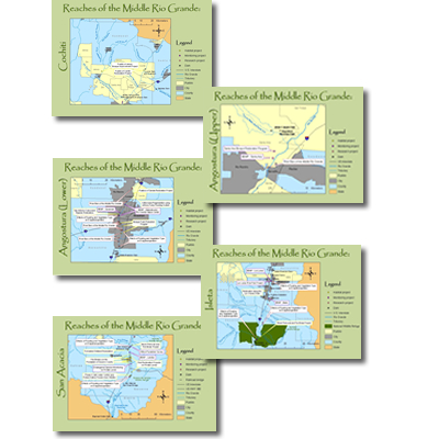
Thumbnail of each reach of the Middle Rio Grande Cochiti Upper Angostura Lower Angostura Isleta San Acacia


Click on a name or a thumbnail to see a larger map for each reach.

cottonwood leaf Cochiti
cottonwood leaf Angostura (Upper)
cottonwood leaf Angostura (Lower)
cottonwood leaf Isleta
cottonwood leaf San Acacia


Thumbnail of Middle Rio Grande Basin Thumbnail of Middle Rio Grande Reaches
Return to the top of the page
Navigate to the MRGBI homepage
Navigate to maps of the Middle Rio Grande and its reaches
Learn more about individual projects
Review the MRGBI current request for proposals and an online submission form
Navigate to other sources of information relevant to the Middle Rio Grande
Navigate to related websites
Navigate to site map