|
• Fact Sheets
Learn More ...
National Spatial Data Infrastructure Wetlands Layer • Fact Sheet
Learn More ...
Wetlands Status and Trends • National, State and Regional
Learn More ...
Contacts and Other Information • Who we are ...
Learn More ...
|
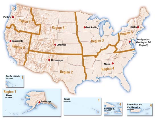
Who We are ... The U.S. Fish and Wildlife Service (Service) is the principal Federal agency that provides information to the public on the extent and status of the Nation's wetlands. The agency has developed a series of topical maps to show wetlands and deepwater habitats. This geospatial information is used by Federal, State, and local agencies, academic institutions, and private industry for management, research, policy development, education and planning activities. Digital data can be viewed and downloads are available through the Wetlands Mapper. A Congressional mandate also requires the Service to produce wetlands status and trends reports for the nation and to report to the Congress at periodic intervals. The Fish and Wildlife Service is headquartered in Arlington, Virginia, and responsibility for the geospatial wetlands data falls to the Division of Habitat and Resource Conservation. Regional Wetlands Coordinators are located in each of the Service's regions. The National Standards and Support Team is located in Madison, WI, and is the home of the Wetands Geodatabase as well as staff providing science and support for all geospatial applications of wetlands data. The Wetlands Mapper serves as the data discovery mechanism and is managed incooperation with the U.S. Geological Survey in Madison, WI.
|
Last updated:
April 22, 2009