Land
-
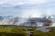 A Burning Question (DAAC Study) November 1, 1999
Evidence suggests that atmospheric aerosols from biomass burning may offset global warming caused by greenhouse gases.
-
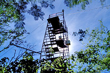 A View From Above (DAAC Study) September 24, 2001
International scientists with diverse backgrounds work together to better understand movement of carbon between the Earth's forests and atmosphere.
-
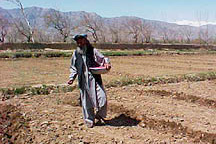 Aiding Afghanistan February 7, 2006
NASA satellite data help optimize agricultural output in Afghanistan.
-
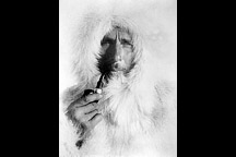 Alfred Wegener February 8, 2001
Alfred Wegener proposed the theory of continental drift - the idea that the Earth's continents move over hundreds of millions of years of geologic time - long before the idea was commonly accepted.
-
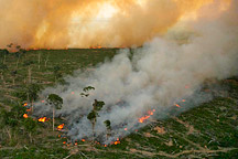 Amazon Fires on the Rise March 7, 2008
In 2006, fires and smoke in the Amazon declined significantly for the first time in nearly a decade. Is Amazon burning under control?
-
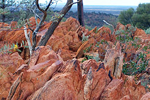 Ancient Crystals Suggest Earlier Ocean March 1, 2006
Tiny, ancient mineral crystals from the arid shrublands of Western Australia suggest Earth's oceans developed far earlier than scientists used to think.
-
 Ancient Forest to Modern City February 1, 2008
To understand how local weather shifted when the towering forests of the eastern United States gave way to fields and cities, scientists must reconstruct the region's historical landscapes.
-
 Ask-A-Scientist July 25, 2006
Questions from visitors to the Earth Observatory and answers from scientists.
-
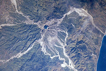 Astronauts Photograph Mount Pinatubo June 14, 2001
In early 1991, Mt. Pinatubo, a volcano north of Manila on the Philippine island of Luzon, had been dormant for more than 500 years. Few geologists would have guessed that it would produce one of the world's most explosive eruptions in the twentieth century.
-
 At the Edge: Monitoring Glaciers to Watch Global Warming April 14, 1999
Alpine glaciers are a good indicator of climate change. If the climate is getting warmer or drier, they will shrink. If it is getting colder or wetter, they tend to grow.
-
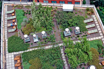 Beating the Heat in the World's Big Cities August 2, 2006
Green roofs can mitigate urban heat islands and heat waves.
-
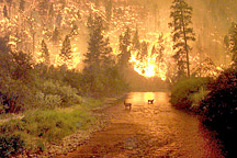 Biomass Burning March 19, 2001
Biomass burning is the burning of living and dead vegetation, including both human-initiated burning for land clearing, and burning induced by lightning and other natural sources. Researchers with the Biomass Burning Project at NASA Langley Research Center are seeking to understand the impact that biomass burning has on the Earth's atmosphere and climate.
-
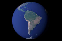 Blue Marble Next Generation October 13, 2005
12 months of high-resolution global true color satellite imagery.
-
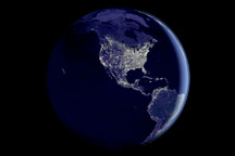 Bright Lights, Big City October 23, 2000
For the past six years, researchers have been looking for ways to measure the effects of urbanization on biological productivity in countries around the world. To assist them with their research, they have created a method of mapping urbanization on a countrywide scale by using satellite images of the light cities generate at night.
-
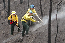 Burned Area Emergency Rehabilitation October 23, 2002
The aftermath of a wildfire can be as dangerous as the blaze itself. The charred landscape is prone to flooding and erosion, and natural resource experts usually have only one week to assess the damage and propose steps to mitigate disaster. Satellite mapping of burned areas can save crews time and money by helping guide field crews to the most crucial areas. USDA Forest…
-
 Can Earth's Plants Keep up with Us? September 26, 2007
Studying human appropriation of net primary productivity helps predict the planet's ability to sustain the human population.
-
 Changing Global Land Surface May 13, 1999
Satellite remote sensing enables researchers to consistently monitor distribution and seasonal changes of the world’s vegetation and the exchanges of water and carbon between land vegetation and the atmosphere. These observations will help us understand the rate of change of atmospheric carbon dioxide and its effect on climate.
-
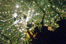 Cities at Night: The View from Space April 22, 2008
Astronauts onboard the International Space Station capture nighttime photographs of city lights, spectacular evidence of humanity's existence, our distribution, and our ability to change our environment.
-
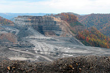 Coal Controversy In Appalachia December 21, 2007
In Appalachia, coal operators are removing the tops of mountains and burying hundreds of miles of streams with rock waste as they mine coal seams hundreds of feet below the mountain top.
-
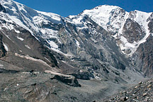 Collapse of the Kolka Glacier September 9, 2004
Russian scientists mapped Mount Kazbek in the Caucasus Mountains, site of a massive glacial collapse, and used satellite data to assess the possibility of additional dangers.