Spacecraft
Launch: August, 2007
Arrival: May 25, 2008
Overview
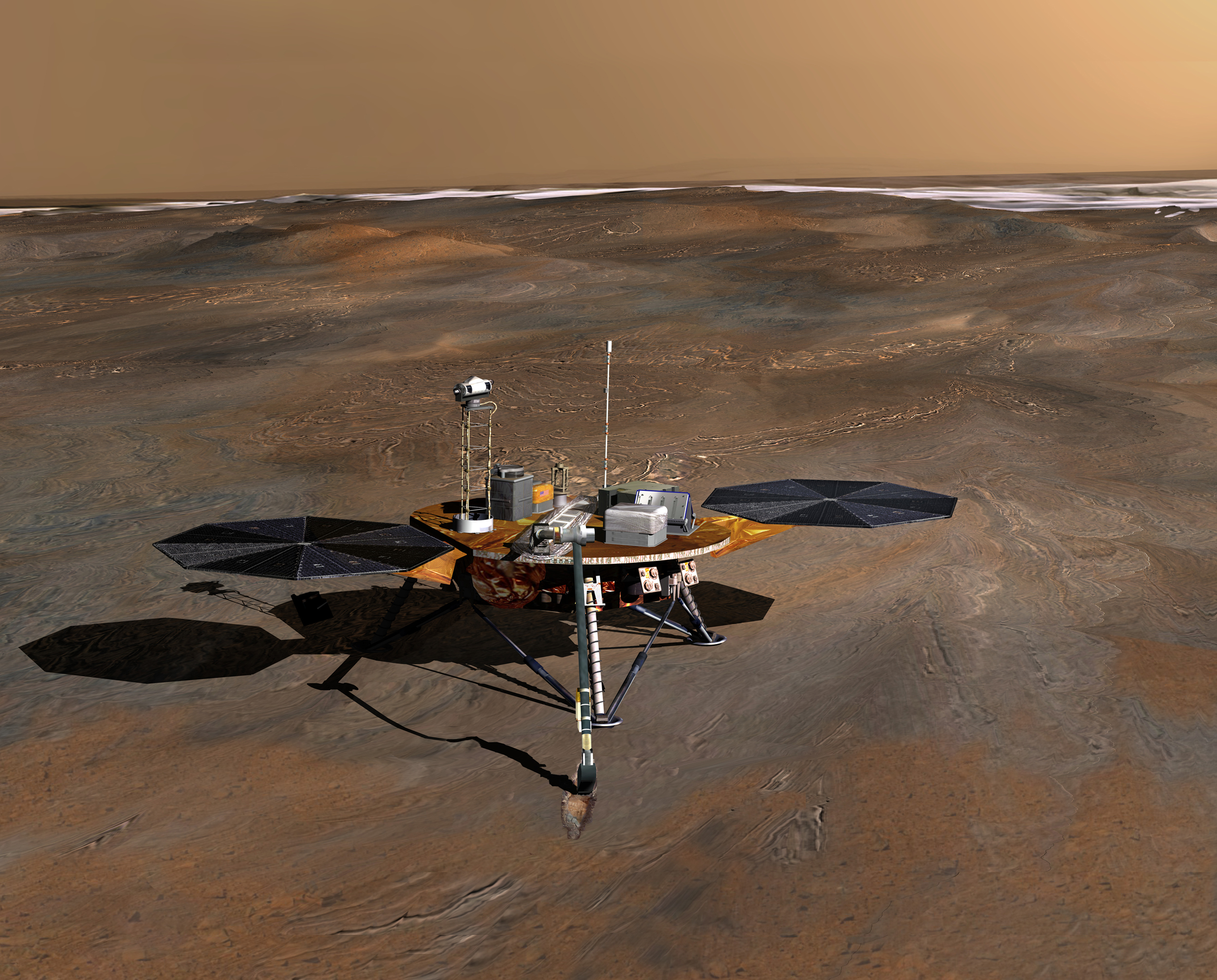
The Phoenix mission is the first chosen for NASA's Scout program, an initiative for smaller, lower-cost, competed spacecraft. Named for the resilient mythological bird, Phoenix uses a lander that was intended for use by 2001's Mars Surveyor lander prior to its cancellation. It also carries a complex suite of instruments that are improved variations of those that flew on the lost Mars Polar Lander.
In the continuing pursuit of water on Mars, the polar regions are a good place to probe, as water ice is found there. Phoenix will land farther north than any previous mission, at a latitude equivalent to that of northern Alaska. During the course of its three-month mission, Phoenix will dig down to an ice-rich layer that scientists calculate lies within inches of the surface. It will check samples of soil and ice for evidence about whether the site was ever hospitable to life.
To analyze soil samples collected by a robotic arm, Phoenix will carry tiny ovens and a portable laboratory. Selected samples will be heated to release volatiles that can be examined for their chemical composition and other characteristics. One goal is to check whether subsurface samples hold carbon-containing compounds that are essential ingredients of life.
Phoenix's stereo camera, located on its 2-meter (6.6-foot) mast, will use two "eyes" to reveal a high-resolution perspective of the landing site's geology. It will also provide range maps for the team's use in choosing where to dig. Multi-spectral capability will enable the identification of local minerals.
To update our understanding of Martian atmospheric processes, Phoenix will also scan the atmosphere up to 20 kilometers (12.4 miles) in altitude, obtaining data about the formation, duration and movement of clouds, fog, and dust plumes. It will also carry temperature and pressure sensors.
For more information on the Phoenix mission, visit: http://phoenix.lpl.arizona.edu
|