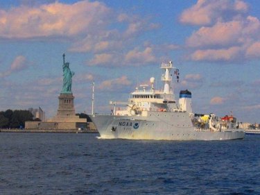
| The NOAA Ship Thomas Jefferson conducted hydrographic survey operation in New York Harbor during the fall of 2006. Thomas Jefferson’s two survey launches (3101 and 3102) collected 200% Sides Scan Sonar and 100% Multibeam Sonar coverage in the harbor in order to update the nautical charts for the area. Most of the project area was previously surveyed prior to 1982 and parts of the project area had not been surveyed since 1927.
The upper New York Harbor is a dynamic environment with currents from three sources, the Hudson River, the East River, and the Atlantic Ocean. The area also experiences heavy vessel traffic from tourism, recreation and the commercial/industrial sector. Containerized cargo volumes in the Port of New York and New Jersey rose 7.6% in 2005 to a record high with 5,322 ships called on the Port in 2005. All this combined made it a challenging work area for launches. |