Skip Navigation Link


Mount St. Helens Satellite Imagery


(Text Version for slow connections)

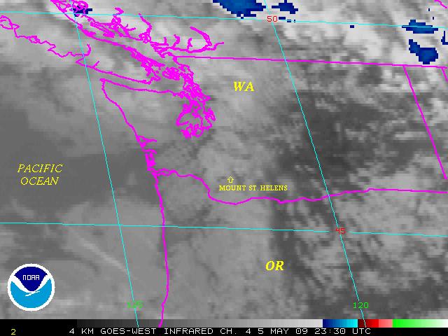
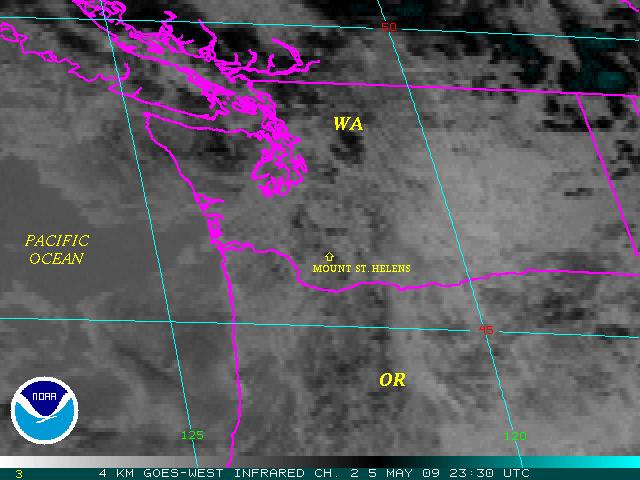
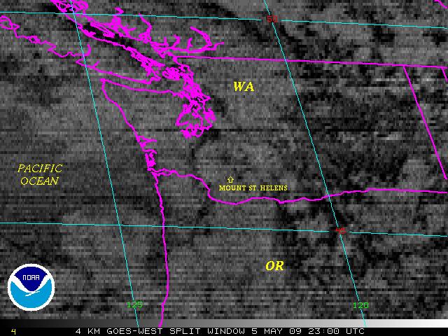
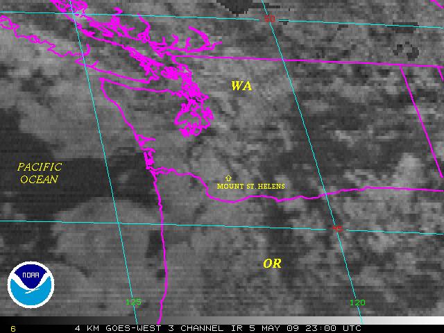
Click on Image to enlarge
Hit "Reload" to view the latest data

GOES-West Visible
GOES-West Visible Image

Previous Image
JAVA Animation (Long) - (Short)
--
GOES-West IR Ch. 4
GOES-West IR Ch. 4 Image

Previous Image
JAVA Animation (Long) - (Short)
--
GOES-West IR Ch. 2
GOES-West IR Ch. 2 Image

Previous Image
JAVA Animation (Long) - (Short)
--
GOES-West Split Window
GOES-West Split Window Image

Previous Image
JAVA Animation (Long) - (Short)
--
GOES-West 3 Channel IR
GOES-West 3 Channel IR Image

Previous Image
JAVA Animation (Long) - (Short)
--
GOES-West Reflectivity
GOES-West Reflectivity Image

Previous Image
JAVA Animation (Long) - (Short)
--

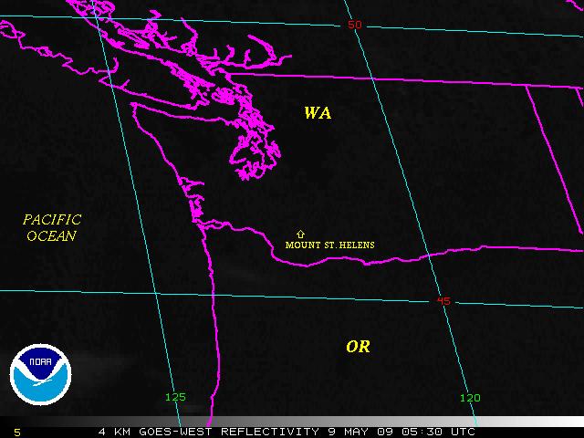
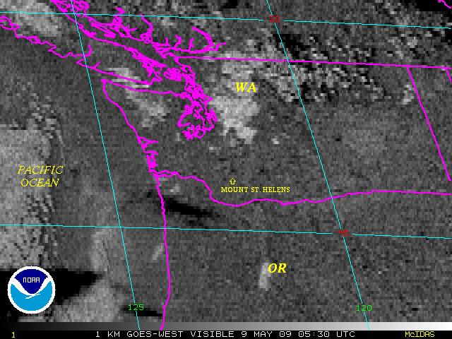
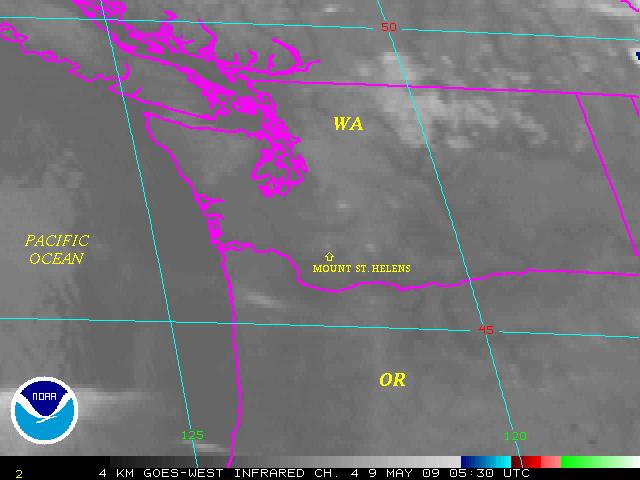
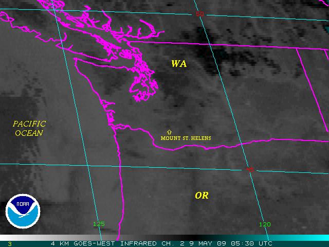
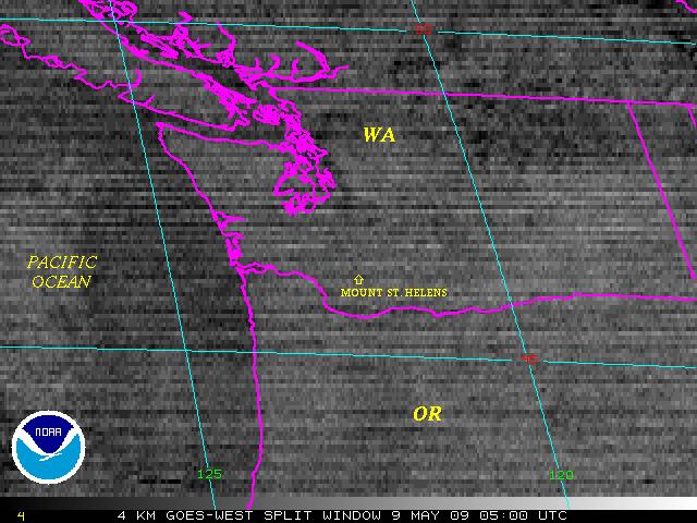
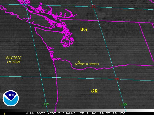
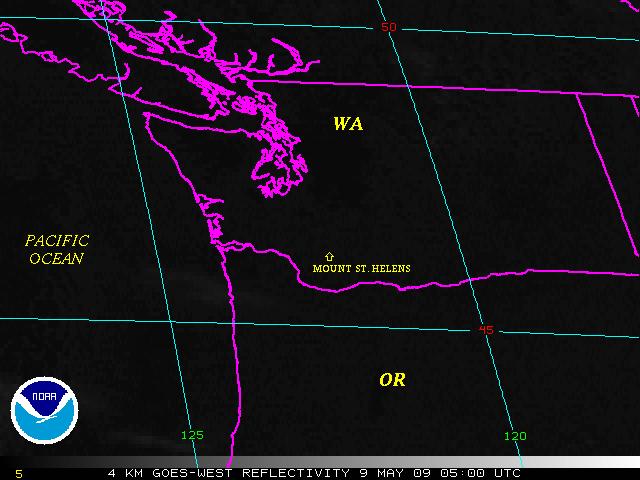
Note: Sectors and Imagery may change without notice. This may be due to an ongoing ash tracking event. If this occurs, Java Loops will not be consistent. It may take a couple of hours for imagery to fill these loops.


Contact Information:
You are Here: http://www.ssd.noaa.gov/VAAC/hele-img.html
 
SSD Webmaster