|  |
| |
|
|
||||||||||||||||||||||||||||||||||||||||||||||||||||||||||
|
About LANDFIRE
 Data Products
Schedule
How to Participate
Documents
Training & Technology Transfer

 National Schedule  |
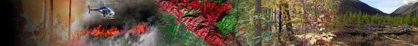
How to Participate ›› Field Reference Database ›› Sharing your Existing Data The LANDFIRE mapping efforts rely heavily on field-referenced data describing vegetation composition and structure and wildland fuel. The LANDFIRE reference database comprises data from numerous sources, both government and non-government, and provides “training” information for LANDFIRE mapping tasks. The LANDFIRE team relies on the user community for access to vegetation or fuel data compiled for inventory, monitoring, mapping, research, or similar purposes. The following table lists examples of data that are particularly useful to the LANDFIRE Project. You need not provide all listed data to make an important contribution to LANDFIRE; subsets of these or similar field data are welcome and appreciated. The only requirement for all records included in the LANDFIRE reference database is a geo-reference for each sampling point, preferably as determined with a Global Positioning System device in the field. If you have geo-referenced plot data that meet the LANDFIRE reference database’s needs OR know of possible data sources, please contact Karen Short at (406) 549-7478 (kshort@landfire.org). You can also download our formal data request letter or learn details about our fuel data needs.
Examples of field data useful to LANDFIRE
|
Frequently asked questions |
||||||||||||||||||||||||||||||||||||||||||||||||||||||||
|
||||||||||||||||||||||||||||||||||||||||||||||||||||||||||