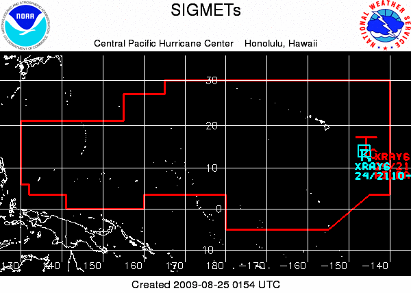
For the immediate Hawai`i area, products issued are Terminal Aerodrome Forecasts (TAFs), area forecasts, upper level wind and temperature forecasts, and AIRMETs (AIR pilots METeorological information) for low clouds, turbulence, and icing. In addition, the Honolulu forecast office is an aviation Meteorological Watch Office that covers approximately 8,650,800 square miles. See Aviation Area Map.
For questions, comments or suggestions concerning aviation issues, please contact W-HFO.aviation@noaa.gov.
- Terminal Aerodrome Forecasts (TAFs)
- Area Forecast for Hawaii and adjacent coastal waters
- Wind and Temperature Aloft Forecast for Honolulu, Lanai, Hilo, Lihue, Kahului and Kona
- Wind and Temperature Aloft Forecast for other Pacific locations
- FYI/Help for Forecast Winds and Temperatures Aloft
- AIRMETs for IFR conditions, turbulence, and icing
Route Forecasts
Upper Air Data
- Lihue: Freezing Level | TTAA | TTBB,PPBB | Skew-T
- Hilo: Freezing Level | TTAA | TTBB,PPBB | Skew-T


