|
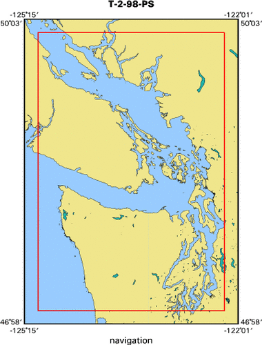
See also T-1-98-PS (Thompson) & T-3-98-PS (land)
|
|
|
|
From February 27, 1998 Coastal and Marine Geology Bulletin
|
|
|
|
SHIPS IS ON ITS WAY!
|
|
Late this past week 5 48-foot trucks and some smaller cargo carriers left Marfac
|
|
loaded with compressors, generators, airguns, and myriad
|
|
other gear, all of which is destined for the SHIPS program in Seattle. Another
|
|
truck left Texas with the 50-ton multichannel streamer. If all
|
|
goes well, nearly 100 tons of mechanical and electrical equipment will be
|
|
installed on the University of Washington's 275-foot research
|
|
vessel, Thomas G. Thompson. This ship will be joined by the 240-foot Canadian
|
|
research ship, John P. Tully, and the two ships will conduct
|
|
intricate seismic experiments in the Puget Sound region. While airguns are
|
|
discharged behind the Thompson, the resulting seismic waves
|
|
will be recorded by the Tully as well as by 250 temporary seismometers that will
|
|
be scattered around the region. About 50 fixed earthquake
|
|
seismometers will also record these data. This survey is the most complex ever
|
|
mounted by the USGS to investigate earthquake hazards in an
|
|
urban setting. Cooperating institutions include the U.S. and Canadian Geological
|
|
Surveys and six universities. The US Navy lent us critical
|
|
infra-red gear, which was almost diverted to the Iraq conflict, and MMS
|
|
contributed funds toward studying marine mammals. Funding comes
|
|
almost entirely from within the USGS; the external NEHRP, Urban Hazards, and the
|
|
Coastal and Marine Programs all contributed. Coastal and
|
|
Marine has the honor of having chipped in the greatest share. Permission to use
|
|
airguns in Puget Sound and the Straits of Juan de Fuca and
|
|
Georgia, which are home to many marine mammals, took almost a year to obtain.
|
|
Part of the stipulations in the permit are that when the
|
|
airguns are operating, marine mammal biologists must remain vigilant aboard both
|
|
survey ships and aboard an aircraft. Eleven biologists will
|
|
work closely with geologists to obtain seismic data while minimizing harm to
|
|
marine life. These biologists have responsibility for shutting
|
|
off the array whenever a marine mammal enters a specific zone around the airguns
|
|
where it might suffer hearing damage. The size of the
|
|
protective zone varies with mammal species, hence the need for expert
|
|
assistance. With close cooperation, we will obtain three-dimensional
|
|
seismic data and information on the behavior of marine mammals in response to
|
|
airgun signals. The data about mammals will help us and
|
|
other groups plan the next airgun surveys; the seismic data will help city
|
|
planners allocate scarce funds for seismic strengthening of
|
|
important infrastructure. Crew from Marfac CMG and EQ leave early next week.
|
|
|
|
Mike Fisher
|