Please note that some document(s) on this page are in Adobe Portable Document Format (PDF). You will need the Adobe Reader program to view them. Adobe Reader is a free download and is available by clicking this link.
Important Notices
Lake Winnebago Levels and Flows
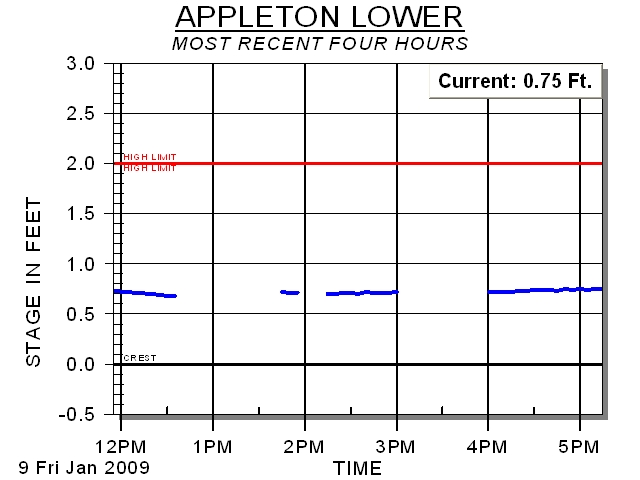
Lower Fox River Pool Elevations
Basin Precipitation
National Weather Service
National Center for Atmospheric Research
Links
USGS The Wisconsin District of the USGS provides hydrographs for provisional stream flow and gage height data for the last seven days
USGS
The Wisconsin District of the USGS provides hydrographs for provisional stream flow and gage height data for the last seven days
NOAA NOAA's Quantitive Precipitation Forecast (a prediction of the amount of precipitation that will fall at a given location in a given time interval).
NOAA
NOAA's Quantitive Precipitation Forecast (a prediction of the amount of precipitation that will fall at a given location in a given time interval).
Lake-Link
References
Regulation
Meetings
Water Quality
General Information
NOTICE: In order to make the Data & Reports available as soon as possible, unedited real time data is used.
Please read the Disclaimer before proceeding.


