Link to USGS home page
USGS Home
Contact USGS
Search USGS
Coastal & Marine Geology InfoBank

USGS CMG IDs (Area CA30) Data & Metadata

Skip navigational links
Search InfoBank
Home tab FACS tab Activities tab Atlas tab Geology School tab More tab More tab Activities tabs
   
New Field Work: GE ( Future  Present )    Past (GE)    Field Schedules: ( Santa Cruz / Menlo Park   St. Petersburg   Woods Hole )    News: ( CMG   USGS   DOI )
Activities: by ID   by Platform   by Year   by Region   by Participant   by Organization   by Project/Theme   with Incomplete IDs   Disclaimer  
Activity First Letter: A   B   C   D   E   F   G   H   I   J   K   L   M   N   O   P   Q   R   S   T   U   V   W   X   Y   Z   0   1   2   3   4   5   6   7   8   9  
Virtual Globes: Atlas  (GE)    Samples  (GE)    Illuminate Oceans  (GE)    Earthquakes  (GE)    Get GE    InfoBank examples    State Waters
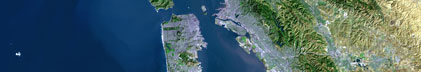
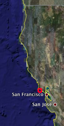
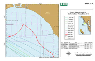
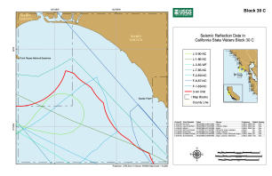
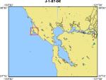
CA State Waters Quad: 1   2   3   4   5   6   7   8   9   10   11   12   13   14   15   16   17   18   19   20   21   22   23   24   25   26   27   28   29   30   31   32   33   34   35   36   37   38   39   40   41   42   43   44   45   46   47   48   49   50   51   52   53   54   55   56   57   58   59   60   61   62   63   64   65   66   67   68   69   70   71   72   73   74   75   76   77   78   79   80   81   82   83   101   102   103   104   105   106   107   108   109   110   111   112   113   114   115   116   117   118   119   120   121   122   123   124   125   126   127  
   
     Area: CA30 N = 38.03819, S = 37.87874, E = -122.76473, W = -122.96641
index map of area
thumbnail image
     full image
     .pdf version
thumbnail image
     full image
     .pdf version
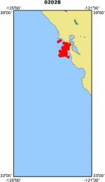
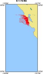
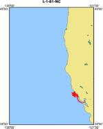
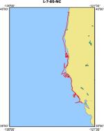
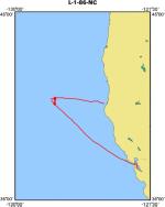
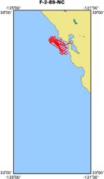
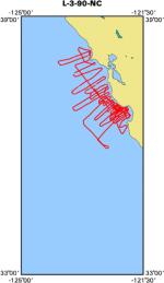
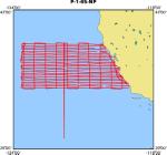
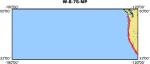
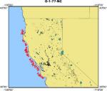
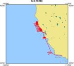
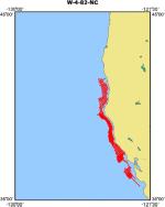
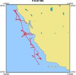
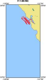
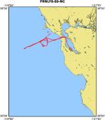
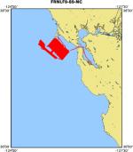
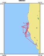
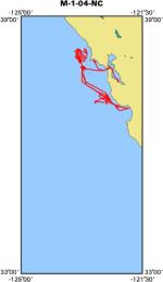
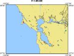
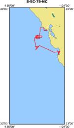
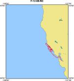
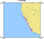
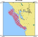
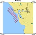
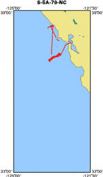
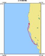
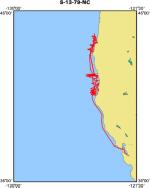
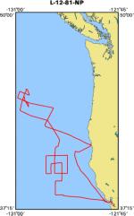
Field activities that cross the region.
Geological
map of tracklines
J-1-87-DE
Geological Sampling
map of tracklines
M-1-02-NC
Geological and Geophysical
map of tracklines
K-1-73-NC
map of tracklines
L-1-81-NC
map of tracklines
L-7-85-NC
map of tracklines
L-1-86-NC
map of tracklines
F-2-89-NC
map of tracklines
L-3-90-NC
Geophysical
map of tracklines
P-1-65-NP
map of tracklines
S-1-70-NP
map of tracklines
W-8-75-NP
map of tracklines
O-1-77-NC
map of tracklines
S-4-79-NC
map of tracklines
L-3-80-NP
map of tracklines
W-4-82-NC
map of tracklines
L-3-83-WF
map of tracklines
F-6-87-NC
map of tracklines
F-1-89-NC
map of tracklines
F-8-89-NC
map of tracklines
F-9-89-NC
map of tracklines
E-7-94-NC
map of tracklines
M-1-04-NC
Unspecified
map of tracklines
F-1-85-DE
map of tracklines
J-1-86-DE
map of tracklines
F-3-07-NC
Video
map of tracklines
F-2-08-NC
Geological and Geophysical
map of tracklines
S-5C-79-NC
map of tracklines
F-12-88-NC
map of tracklines
F-13-88-NC
Geophysical
map of tracklines
W-18-75-NP
map of tracklines
W-14-76-SF
map of tracklines
W-16-76-SF
map of tracklines
S-5A-79-NC
map of tracklines
W-22-79-NP
map of tracklines
L-14-80-NC
Unspecified
map of tracklines
S-13-79-NC
map of tracklines
L-12-81-NP
map of tracklines
L-13-81-NC
map of tracklines
S-14-08-NC

Skip footer navigational links


InfoBank   Menlo Park & Santa Cruz Centers   St. Petersburg Center   Woods Hole Center   Coastal and Marine Geology Program   Geologic Information   Ask-A-Geologist   USGS Disclaimer  

FirstGov button   Take Pride in America button