|
| General
Information |
| Type
of Recreation: |
Day-Use, Boating, and Camping |
State:
County: |
Washington
Garfield |
| Administering
Office: |
Clarkston
Resources Office - Eastern Project |
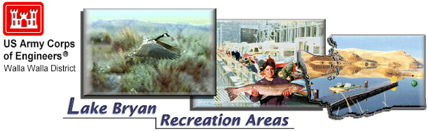
| Location: |
Lake Bryan, Snake River Mile 88, South River Bank |
| Acreage: |
74 Acres |
| Highway
Directions: |
1 mile south of Central Ferry State Park on Highway 127,
4 miles east on Deadman Road, and 5 miles north on Hasting Hill Road. |
| Facilities |
| Day-Use
Area: |
Tables
Fire Pits/Grills
Vault Toilets |
| Boating: |
1-Lane Launch Ramp
Handling Dock |
| Camping
Area: |
Tent/RV
Fire Pits/Grills
Tables |
| Season
and Hours of Operation: |
Year round, with no specific hours of operation. |
| Operating
Agency |
Name:
Address:
Phone:
Contact: |
U.S. Army Corps of Engineers
- Eastern Project
100 Fair Street
Clarkston, Washington 99403
509-751-0240
Resource Manager |
| Distance
to Nearest |
Hospital:
Grocery Store:
Motel:
Restaurant:
Airport:
Auto Mechanic: |
25 Miles
(Garfield County Memorial Hospital,
Pomeroy, Washington, 509-843-1591)
10 Miles
25 Miles
25 Miles
50 Miles
25 Miles |
| Notes:
Pets must be kept on a leash.
Hunting is prohibited. The Clarkston Resource Office can be
reached at 509-751-0240.
|