|
|
|
Metadata
|
|
ID
|
J-3-98-MB
|
|
Abstract
|
Chief Scientist: Roberto Anima. Bathymetric and Sidescan
Sonar data (Kleinsidescan) of field activity J-3-98-MB in
Monterey Bay from 05/04/1998 to 05/22/1998
|
|
National Plan
|
Enviornment
|
|
Chief Scientist
|
Roberto Anima
|
|
Activity Type
|
Bathymetric and Sidescan Sonar
|
|
Platform
|
David Johnston
|
|
Area of Operation
|
Monterey Bay
|
|
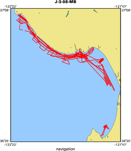
Location map
|

|
|
Bounding Coordinates
|
37.11394
-122.32976 -121.82030
36.60803
|
|
Ports
|
leave Santa Cruz, CA
arrive Santa Cruz, CA
|
|
Dates
|
05/04/1998 (JD 124) to 05/22/1998 (JD 142)
|
|
Analog Materials
|
list
|
|
Index map
|
|
|
Crew
|
|
Roberto Anima
|
Chief Scientist, USGS Western Region
|
|
Pete Galanis
|
Unspecified, USGS Western Region
|
|
Gordon Smith
|
Captain
|
|
|
Equipment Used
|
|
|
Notes
|
|
|
Publications
|
|
Eittreim, Stephen L., and Noble, Marlene, editors, 2002, Seafloor geology and
|
|
natural environment of the Monterey Bay National Marine Sanctuary: Marine Geology, v
|
|
. 181
|
|
http://www.sciencedirect.com/
|
|
|
Journals > m > Marine Geology > Volumes 181 - 190 > Volume 181, Issues 1-3
|
|
|
|
Wong, F.L., and Eittreim, S.L., 2001, Continental Shelf GIS for the Monterey
|
|
Bay National Marine Sanctuary: U.S. Geological Survey Open-file Report 01-179,
|
|
1 CDROM,
|
|
http://geopubs.wr.usgs.gov/
|
open-file/of01-179/
|
|
|
Got Help?
|
For J-3-98-MB, we would appreciate any information on -- contract, days at sea, dive count, funding, information specialist, information to be derived, kms of navigation, NGDC Info, organization, owner, project, project number, purpose, scanned materials, seismic description, station count, station description, submersible, summary, tabulated info.
|
|


