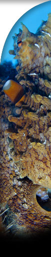
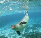
Large Photos - these images are of a suitable size and resolution for print purposes.
Graphic
Maps - these
maps depict land formations, bathymetric contours, and some
shallow corals. Complements of Christine Taylor of NOAA's
National Marine Sanctuary Program.
Satellite
Images - these
images are either from the IKONOS satellites or from NASA's
LANDSAT 7 (only the image of the banks near French Frigate
Shoals, all others are IKONOS). IKONOS images were purchased
by NOAA and LANDSAT were purchased by the U.S. Geological Survey.
Image processing was performed by Kris Holderied of NOAA.
Quicktime
Movie Slideshow of images taken in the NWHI during the 2002
NOWRAMP expedition. Images taken by professional wildlife photographer
James
Watt. (39
MB,
requires
Apple QuickTime free
viewer)


 Large Photos
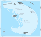 Graphic
Maps
Graphic
Maps
