![]()
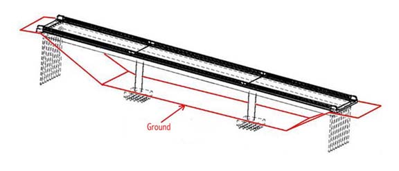
| SH 16/160 is a two lane reinforced concrete highway bridge built in 1956, with oneway traffic heading northwest from Tacoma towards Bremerton. The right lane was closed to ambient traffic for testing, all sensors were equally spaced in the right lane next to the curb (see drawings for orientations) . Sensors recorded accelerations in three directions - longitudinal (channel 3), transverse (channel 1), and vertical (channel 2). Response was tested from different dynamic loads. BACK |
|
 |