
|
|
|
|
|
|
|
|
|
|
|
|
|
|
|
|
|
|
|
EO-1 Image Gallery

EO-1 Tsunami Acquisitions
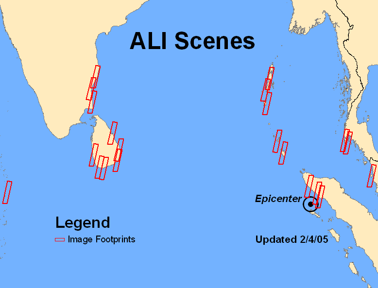
The acquisition maps for the EO-1 Advanced Land Imager (ALI) and Hyperion sensors reveal the spatial location of the scenes within the Indian Ocean tsunami region. The footprints reflect scenes that were imaged shortly after the December 26, 2004, tsunami that affected the region. To request new EO-1 acquisitions over this area, a customer will need to submit a Data Acquisition Request (DAR) form, which is found in the 'DAR' section of this website. Once a DAR is submitted, a customer service representative will provide the customer with a price quote and payment options for the request.
To obtain additional tsunami data, please visit the USGS Hazards Data Distribution System (HDDS) website. This website provides remotely sensed data, including EO-1, over the tsunami region. These data are available to download at no cost.
ALI Images |
Hyperion Images |
 |
 |
| Click for a larger version | Click for a larger version |
