


Photo Gallery
[ || Overview || Activities || Products || Photo Gallery || Glossary || Links || Feedback || Sitemap || ]
[ Publications | Web Sites | Geospatial Data Products | Photo Gallery ]
The photographs linked below show some typical desert scenes and desert land uses. They were taken by USGS staff, and we ask anyone using these photographs to cite the source as USGS. Higher quality images are available by e-mailing Dave Miller at dmiller@usgs.gov.
Click on the thumbnail to enlarge.
Desert Landscapes
|
|
Telescope Peak, Death Valley National Park, from Panamint Valley. Photo by Robert Webb, USGS, 1978. |
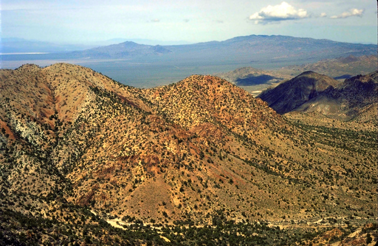
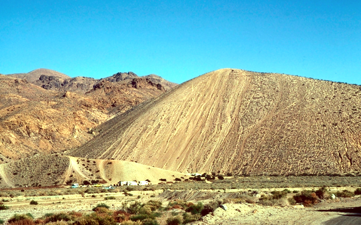
Northern New York Mountains looking north toward the McCulough Mountains. Photo by David Miller, USGS, 1992. |
|
|
Kelso Dunes in the Mojave National Preserve at sunrise. Photo by David Miller, USGS. |
Recent wash in Gold Valley, Death Valley National Park. Photo by Robert Webb , USGS, 1987. |
||
|
Late Pleistocene surfaces in Gold Valley, Death Valley National Park. Photo by Robert Webb, USGS 1983. |
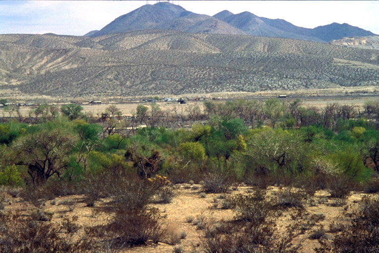
Riparian vegetation at Oro Grande, near Victorville, along the Mojave River. Photo by USGS staff. |
||
|
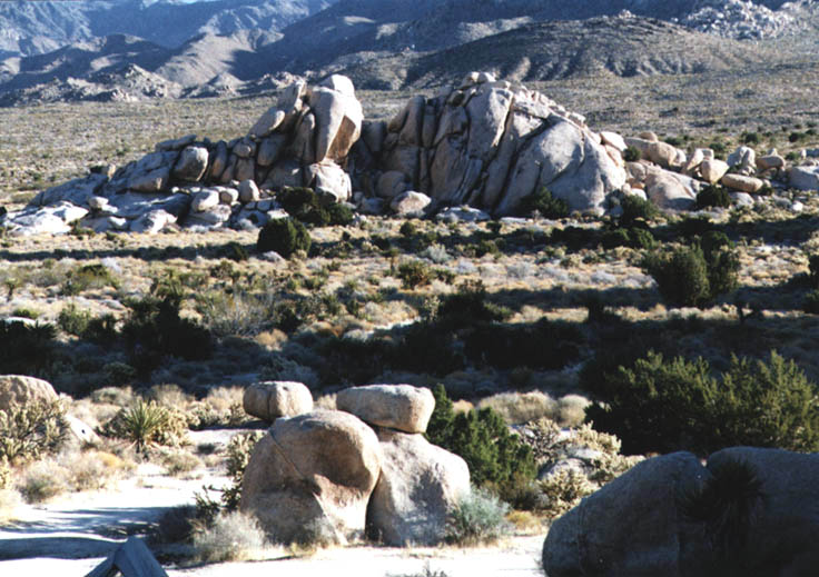
Rock pinnacles, also known as tors, Granite Mountains, Mojave National Preserve. Photo by David Miller, USGS, 1990. |
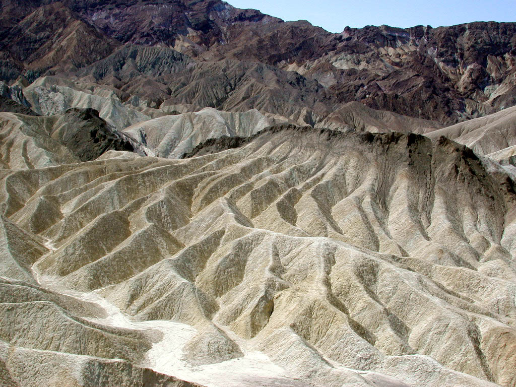
Zabriskie Point, Death Valley. Photo by David Miller, USGS. |


Desert Land Use
|
|
Abandoned water pipeline to ghost town of Skidoo looking across Wildrose Canyon, Death Valley National Park. Photo by Robert Webb, USGS, 1981. |
Abandoned water pipeline to town of Skidoo at Wood Canyon, Death Valley National Park. Photo by Robert Webb, USGS, 1981. |
|
|
Aerial view of the Los Angeles aqueduct crossing ephemeral wash. Photo by Robert Webb, USGS, 1978. |
Recent wash in Gold Valley, Death Valley National Park. Photo by Robert Webb , USGS, 1987. |
||
|
Roads in Indian Wells Valley near Ridgecrest, California. Photo by USGS staff. |
Abandoned agricultural field in Fremont Valley. Photo by Robert Webb, USGS, 1978. |
||
|
Effects of off-road vehicles at Dove Spring. Photo by Robert Webb, USGS, 1976. |
Off-road vehicl use in Jawbone Canyon. Photo by Howard Wilshire, 1978. |
||
|
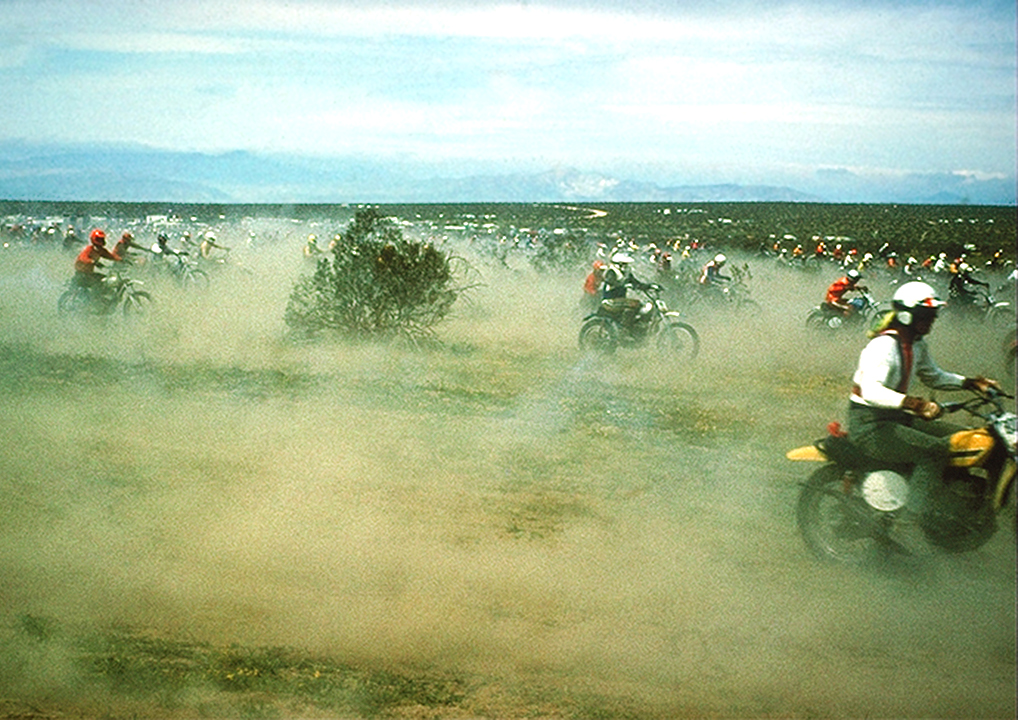
Barstow to Las Vegas motorcycle racers. Photo by Howard Wilshire, 1976. |
Cattle grazing in Lanfair Valley, Mojave National Preserve. Photo by USGS staff. |


[ || Overview || Activities || Products || Photo Gallery || Glossary || Links || Feedback || Sitemap || ]
| [ USGS Home | Biology | Geography | Geology | Water | Contact Us | Ask USGS | Search ] |
| U.S. Department of the Interior | | U.S. Geological Survey | | National Mapping Information 345 Middlefield Road, Menlo Park, CA 94025, USA URL: http://mojave.usgs.gov/rvde/prod_photo.html Maintainer: Web Team WRG Sites: Hawaii Data Clearinghouse | | Crater Lake | | Lake Tahoe Last modified: Wednesday, 16-Jun-2004 16:03:12 EDT (alv) Privacy Statement || Disclaimer || FOIA || Accessibilty || Feedback || Search/Links |