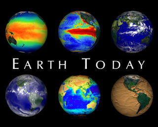
Earth Today 1998
|
The ability to see Earth from space has forever changed our view of the planet. We are now able to look at the Earth as a whole, and observe how its atmosphere, oceans, land masses, and life interact as global systems. Earth's atmosphere, hydrosphere, geosphere, and biosphere are dynamic, changing on timescales of days, minutes, or even seconds. Monitoring the Earth in near real time allows us to get an up to date picture of conditions on our planet. More SVS visualizations for the Earth Today exhibit can be found in animation ids 328 and 1401.
|
|
|
|
This is the narrated Earth Today animation which opens the exhibit.
Duration: 7.8 minutes
Available formats:
1280x1024 (30 fps)
Frames
352x240 (29.97 fps)
MPEG-1
63 MB
320x256
JPEG
18 KB
1280x720 (29.97 fps)
MPEG-2
731 MB
720x480 (29.97 fps)
MPEG-2
236 MB
1280x720 (29.97 fps)
MPEG-4
295 MB
How to play our movies
|
|
|
|
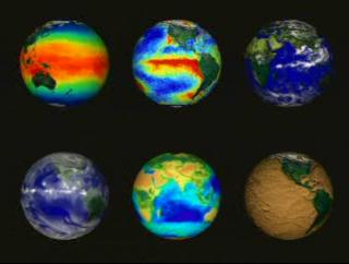
The Earth Today exhibit produces near-realtime animations based on current data. This sample animation shows an example of how such animations are displayed.
Duration: 5.5 minutes
Available formats:
352x240 (29.97 fps)
MPEG-1
55 MB
320x242
JPEG
10 KB
How to play our movies
|
|
|
|
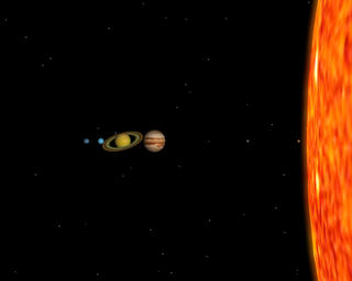
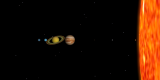
Our Solar System
Available formats:
1280 x 1024
TIFF
364 KB
320 x 256
JPEG
5 KB
160 x 80
PNG
4 KB
80 x 40
PNG
1 KB
|
|

|
|
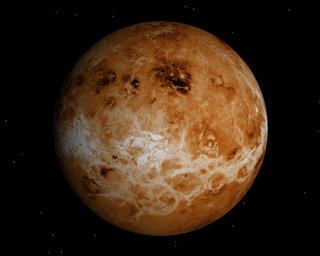
Venus
Available formats:
1280 x 1024
TIFF
795 KB
320 x 256
JPEG
11 KB
|
|
|
|
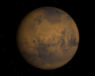
Mars
Available formats:
1280 x 1024
TIFF
583 KB
320 x 256
JPEG
7 KB
|
|
|
|
Galileo
Available formats:
1280 x 1024
TIFF
658 KB
320 x 256
JPEG
9 KB
|
|
|
|
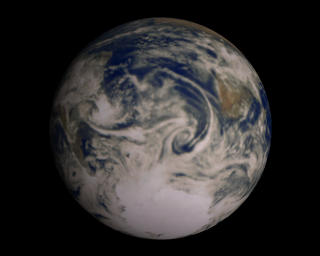
Global Cloud Cover
Available formats:
8000 x 8000
GIF
24 MB
320 x 320
JPEG
21 KB
|
|
|
|
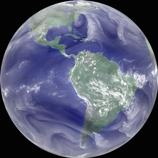
Global Water Vapor showing the parade of 1995 hurricanes in the Atlantic
Available formats:
8000 x 8000
GIF
25 MB
320 x 320
JPEG
16 KB
|
|
|
|
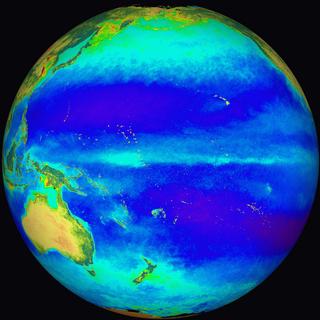
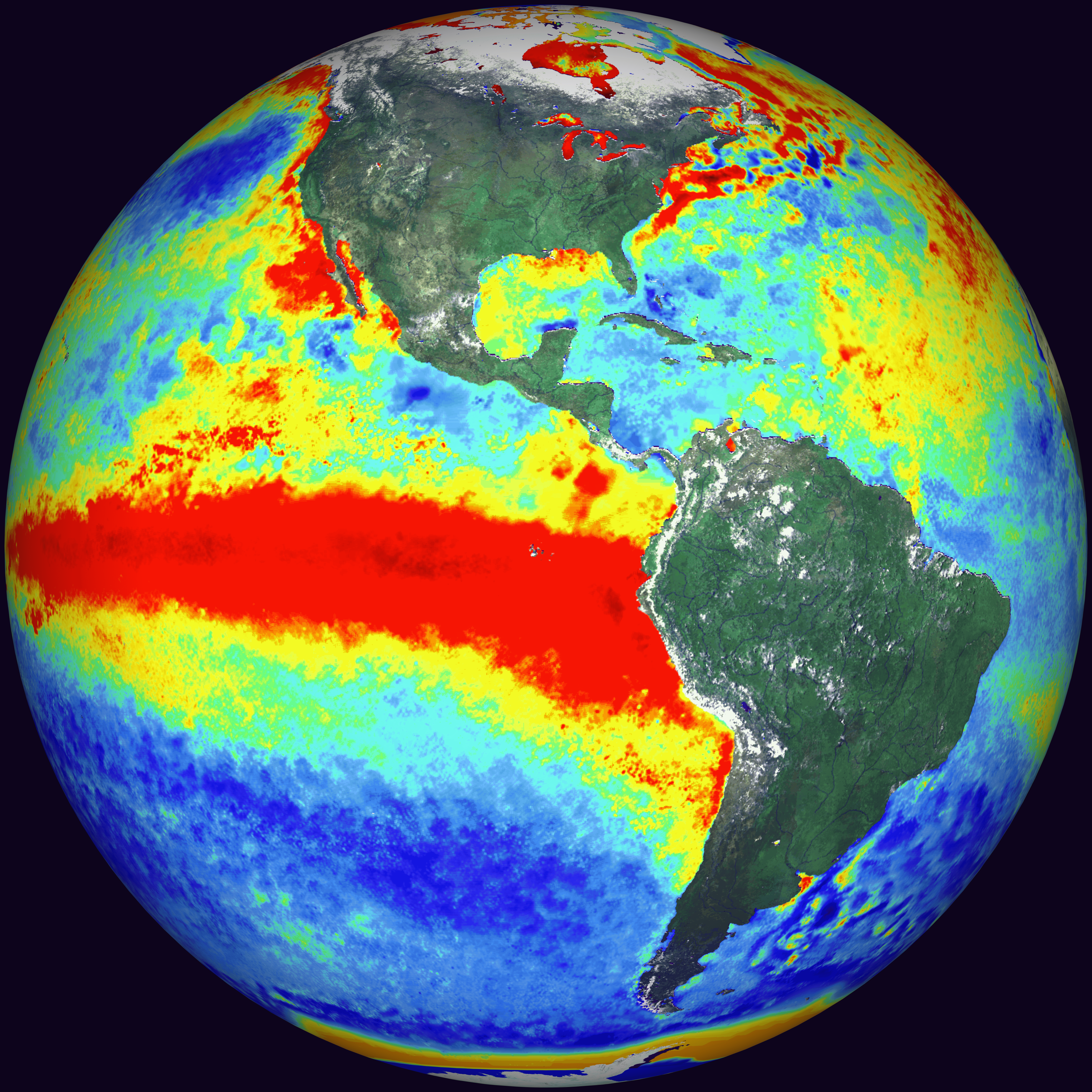
Sea Surface Temperature
Available formats:
8000 x 8000
GIF
14 MB
320 x 320
JPEG
13 KB
|
|

|
|
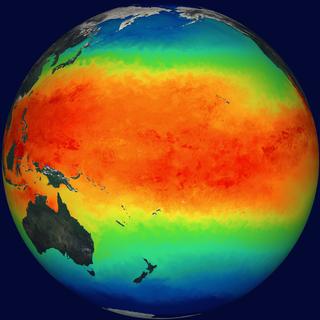
Sea Surface Temperature Anomalies showing the 1998 El Nino event
Available formats:
8000 x 8000
GIF
20 MB
320 x 320
JPEG
23 KB
|
|
|
|
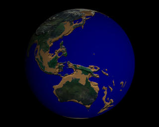
Draining the Oceans
Available formats:
1280 x 1024
TIFF
532 KB
320 x 256
JPEG
8 KB
|
|
|
|
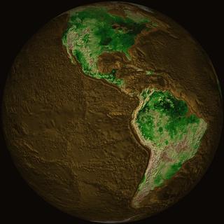
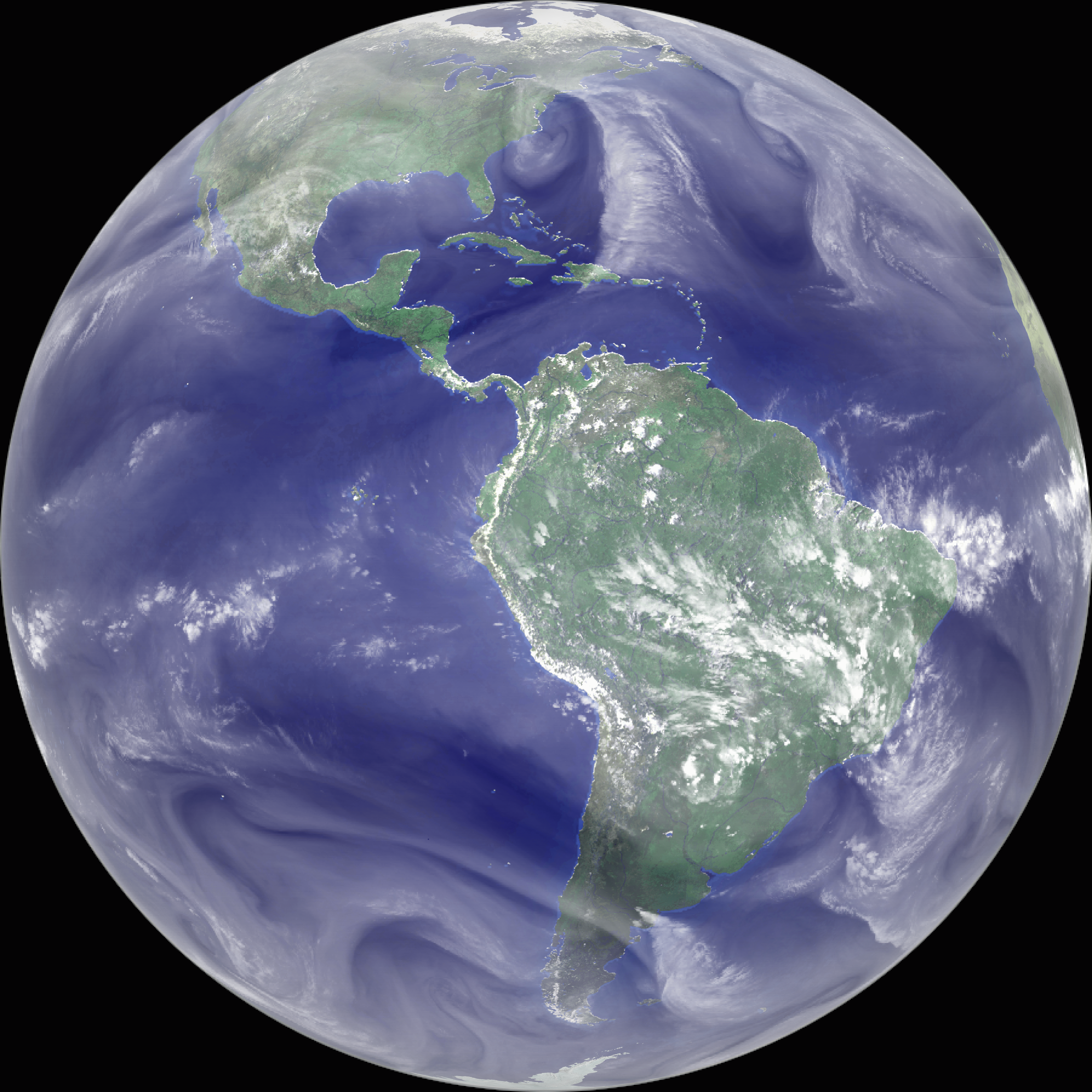
Topographic Map of Earth
Available formats:
8000 x 8000
GIF
19 MB
320 x 320
JPEG
14 KB
|
|

|
|
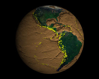
Earthquakes
Available formats:
1280 x 1024
TIFF
843 KB
320 x 256
JPEG
11 KB
|
|
|
|
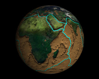
Tectonic Plate Boundaries
Available formats:
1280 x 1024
TIFF
902 KB
320 x 256
JPEG
12 KB
|
|
|
|
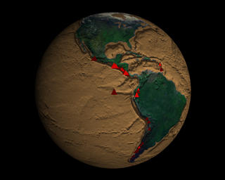
Volcanoes
Available formats:
1280 x 1024
TIFF
790 KB
320 x 256
JPEG
10 KB
|
|

|
|
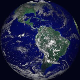
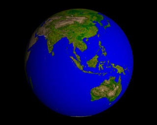
Vegetation
Available formats:
1280 x 1024
TIFF
696 KB
320 x 256
JPEG
10 KB
|
|
|
|
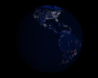
Earth at Night
Available formats:
1280 x 1024
TIFF
470 KB
320 x 256
JPEG
4 KB
|
|
|
|
Biosphere
Available formats:
8000 x 8000
GIF
15 MB
320 x 320
JPEG
16 KB
|
| Animation Number: | 1402 |
| Animators: | Alex Kekesi (Lead) |
| | Wendy Shoan |
| Studio: | NASA |
| Completed: | 1998-10-20 |
| Scientist: | Tom Watters (Smithsonian/Air and Space) |
| Writer: | Tom Watters |
| Narrators: | Erica Drezek (HTSI) |
| | James Earl Jones |
| Instruments: | DMSP/OLS
|
| | FY-2 |
| | GMS-5 |
| | GOES-8 |
| | GOES-9 |
| | Galileo/Solid-State Imaging Camera |
| | Meteosat |
| | NOAA/AVHRR |
| | SeaStar/SeaWiFS |
| | TAO/TRITON |
| | Seismic Recording Networks |
| Data sets: | Biosphere
|
| | Cloud Cover |
| | Earthquakes |
| | NDVI |
| | Sea Surface Temperature |
| | Sea Surface Temperature Anomaly |
| | Water Vapor |
| Data Collected: | Various |
| Series: | HoloGlobe and Earth Today |
| Video: | SVS1998-0020 * |
Keywords:
DLESE
>> Atmospheric science
DLESE
>> Biological oceanography
DLESE
>> Climatology
DLESE
>> Geology
SVS
>> HDTV
DLESE
>> Human geography
DLESE
>> Hydrology
SVS
>> Mars
DLESE
>> Natural hazards
DLESE
>> Physical oceanography
SVS
>> SST
SVS
>> SST Anomaly
DLESE
>> Space science
SVS
>> Venus
|
More Information on this topic available at:
http://www.nasm.si.edu/earthtoday/
|
|
Please give credit for this item to
NASA/Goddard Space Flight Center, NASA/Jet Propulsion Laboratory/Caltech, United States Geological Survey, Goddard Institute for Space Studies, Global Processing Center for International Satellite, Cloud Climatology Project, World Climate Research Program, NASA/Stennis Space Center, Naval Oceanographic Office and Northrop Grumman/DSSD, United States Naval Research Laboratory, Smithsonian Institution Global Volcanism Program, United States Geological Survey, National Earthquake Information Service, National Earthquake Information Center, US Air Force Defense Meteorological Satellite Program, National Oceanic and Atmospheric Administration, National Geophysical Data Center, University of Wisconsin, Space Science and Engineering Center, NASA/Goddard Space Flight Center, The SeaWiFS Project and GeoEye, Scientific Visualization Studio. NOTE: All SeaWiFS images and data presented on this web site are for research and educational use only. All commercial use of SeaWiFS data must be coordinated with GeoEye (http://www.geoeye.com). |
*Please note: the SVS does not fulfill requests for copies of the tapes in our library. On some of our animation pages, there is a direct link to a video distribution service from which tapes, handled by the Public Affairs Office (PAO)/Goddard TV, including some of our animations may be ordered. General information on this service can be found here. |
|
Back to Top
|

