
 |
 |
These images are considered "raw" data, with no analysis of fires and/or smoke. To view the official analyses by NOAA meteorologists, please see the Hazard Mapping System Fire and Smoke Product. Probable fires will appear as sharp white "spots" in the Reflectivity images.
See a brief explanation of the Infrared Reflectivity Product. 
GOES-10 Visible Java Loop |
GOES-10 Infrared Ch. 4 Java Loop |
GOES-10 Infrared Ch. 2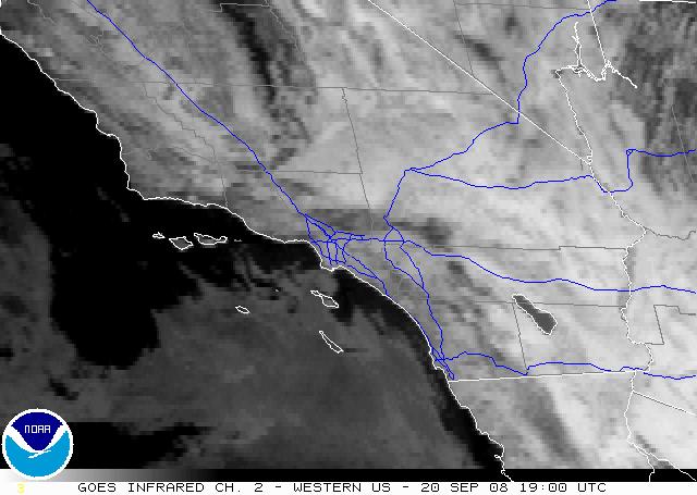 Java Loop |
GOES-10 Reflectivity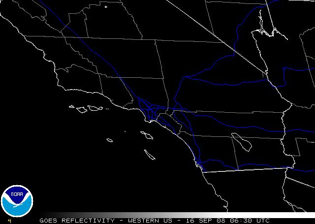 Java Loop |
GOES-10 Shortwave Albedo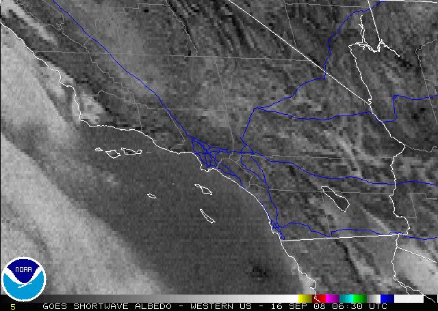 Java Loop |
HMS Fire Analysis 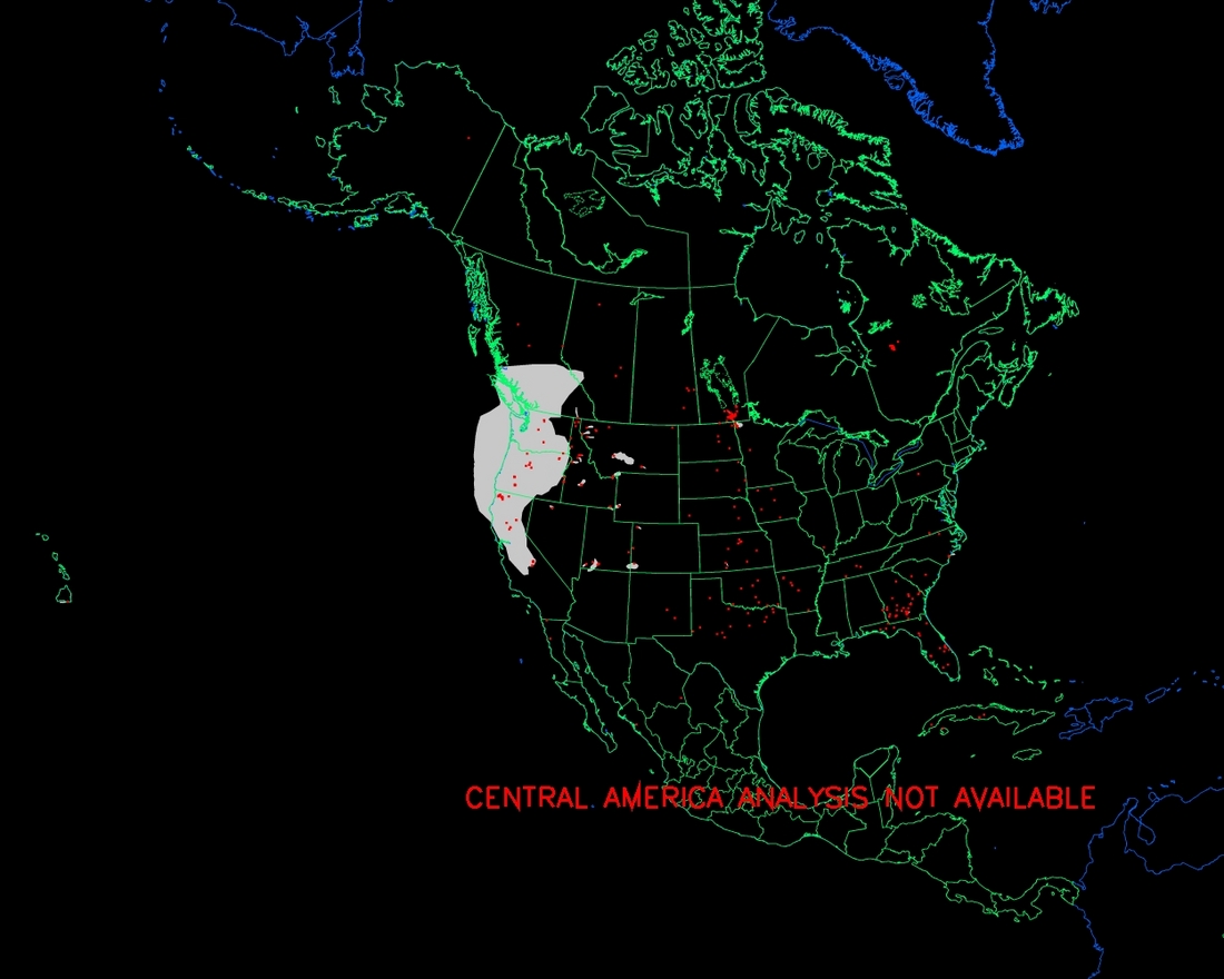 |
| Authors: Brian Hughes and Nancy Merckle |
|
Contact Information: |
||
|
You are Here: http://www.ssd.noaa.gov/PS/FIRE/fires-sw.html
|