Warnings & Forecasts Graphical Forecasts National Maps Climate Radar Rivers Satellite & Upper Air

National Weather Outlook
 
National Forecast Maps

The maps below are produced by the Hydrometeorological Prediction Center.  Each image can be enlarged by clicking on the image.  For help in interpreting the maps, click here.

12 Hour
Fronts/Precipitation
24 Hour
Fronts/Precipitation
36 Hour
Fronts/Precipitation
48 Hour
Fronts/Precipitation
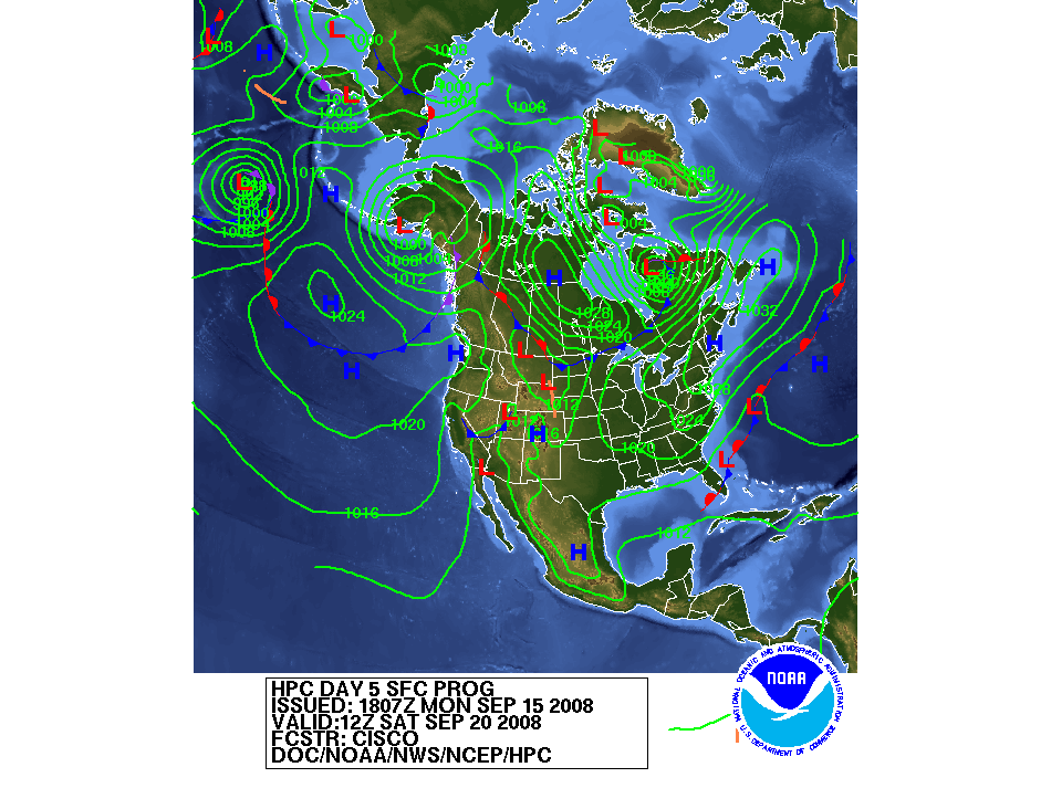
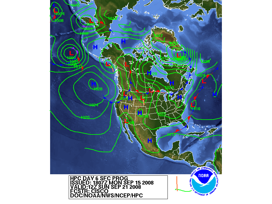
Click to view latest 12-hour 
  fronts/precip forecast Click to view latest 24-hour 
  fronts/precip forecast Click to view latest 36-hour 
  fronts/precip forecast Click to view latest 48-hour 
  fronts/precip forecast
Day 3 Fronts Day 4 Fronts Day 5 Fronts Day 6 Fronts
Click to view latest Day 3 
   fronts forecast Click to view latest Day 4 
   fronts forecast Click to view latest Day 5 
   fronts forecast Click to view latest Day 6 
   fronts forecast
Surface Analysis Precip Amt Day 1 Precip Amt Day 2 Precip Amt Day 3
Click to view latest surface
   analysis Click to view Day 1 Precip
   Amounts Click to view latest Day 2
   Precip Amounts Click to view latest Day 3
   Precip Amounts
 
Severe Weather Maps

The maps below are produced by the Storm Prediction Center. Each image can be enlarged by clicking on the image.

Yesterday's Severe Weather Watches, Warnings, Advisories
   

  • NOAA National Weather Service
  • Central Illinois Weather Forecast Office
  • 1362 State Route 10
  • Lincoln, IL 62656
  • 217-732-3089 (8:30 am to 4 pm weekdays)
  • Page Author: ILX Webmaster
  • Web Master's E-mail: w-ilx.webmaster@noaa.gov
  • Page last modified: 2-Nov-2005 5:34 PM UTC
USA.gov is the U.S. government's official web portal to all federal, state and local government web resources and services.