A catalog of NASA images and animations of our home planet
Skip Navigation (key s)
.
Home
Terms of Use
Frequently Asked Questions
Browse By:
Satellite
Sensor
Collections
Country
U.S. State
GCMD Topic
All Categories
»
Geographic Regions
»
U.S. States
»
Maryland
Landsat 7 land cover maps to …
Space radar image of Washington, …
Space Radar Image of Washington D.C.
Space radar image of Sunbury, …
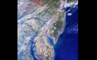
Baltimore, Maryland
Map of Paved Surfaces
Comparing Baltimore and Phoenix
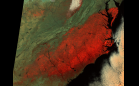
Code Red Air over the Mid-Atlantic …
A Spaceborne Perspective on the …
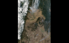
Wild fires in Washington state and …
Vegetation Canopy Lidar
Snow Storm Blankets Southeastern …
Sulfur Dioxide Emissions from …
Breakup of the Larsen Ice Shelf, …
New NASA Satellite Zooms in on …
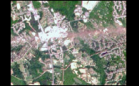
Tornado Hits La Plata, Maryland
Sort By: Data Date
↑
↓
Visualization Date
↑
↓
ID
↑
↓
« ‹ 1
2
3
›
»
Subcategories