A catalog of NASA images and animations of our home planet
Skip Navigation (key s)
.
Home
Terms of Use
Frequently Asked Questions
Browse By:
Satellite
Sensor
Collections
Country
U.S. State
GCMD Topic
All Satellites
»
No Satellite
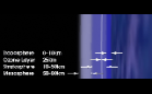
Relative Heights of Atmospheric …
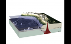
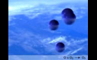
Ocean Plate Subduction
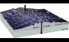
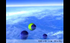
Crust formation
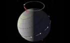
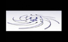
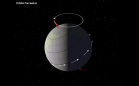
Earth's Orbital Precession
Ozone Creation
Ozone Destruction
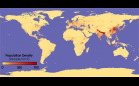
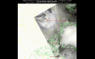
Population Map for Indian …
High Pressure System Animation
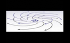
Low Pressure System Animation
Population Density
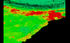
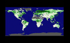
Net Primary Productivity 1984
Tracking Disease from Space
The North Pole Project
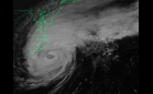
Hurricane Dennis
Earth's Orbital Precession
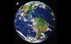
Earth - The Blue Marble
Sort By: Data Date
↑
↓
Visualization Date
↑
↓
ID
↑
↓
« ‹ 1
2
3
4
5
6
7
8
9
10
11
12
13
14
›
»
Subcategories
No Data
(88)
CAD/CAM
(0)
Composite
(39)
DEM
(0)
GCPC
(38)
ISCCP
(22)
Model Data
(2)
NCGIA
(1)
Seismic Recording Netw…
(0)
Seismic Recording Netw…
(1)
Siesmometer
(22)
SLR
(4)