A catalog of NASA images and animations of our home planet
Skip Navigation (key s)
.
Home
Terms of Use
Frequently Asked Questions
Browse By:
Satellite
Sensor
Collections
Country
U.S. State
GCMD Topic
All Categories
»
GCMD Topics
»
Land Surface
»
Topography
»
Landforms
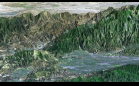
Karakoram Range, Pakistan
Space Radar of Image Aorounga …
Space Radar Image of the Yucatan …
Perspective with Landsat Overlay: …
Etosha Salt Pan
SRTM Perspective View with Landsat …
SRTM Perspective View with Landsat …
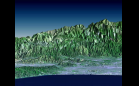
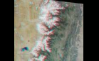
MISR Sees the Sierra Nevadas in …
SRTM: San Andreas Fault in the …
SRTM Perspective View with Landsat …
Mount St. Helens Flyover
Barringer Meteor Crater, Arizona
SRTM Perspective View with Landsat …
SRTM Stereo Pair: Bhuj, India, Two …
SRTM Perspective View with Landsat …
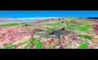
Roof of the World and the Abode of …
Sort By: Data Date
↑
↓
Visualization Date
↑
↓
ID
↑
↓
« ‹ 1
2
3
4
5
›
»
Subcategories