|
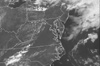
Satellite
View cloud images as seen from space by geostationary satellites.
more >
|
|
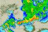
Radar
View reflectivity and velocity images from NEXRAD doppler radars.
more >
|
|
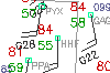
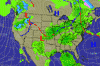
Surface
See the surface weather conditions reported nearest you.
more >
|
|
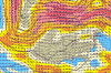
Upper-Air
See winds, temperature, and moisture well above the earth's surface.
more >
|
|
Forecast
Become your own weather forecaster using these guidance tools.
more >
|
|
Help Pages
Review these pages for help interpreting certain graphics or to see what's new.
more >
|

