Skip Navigation Linkswww.weather.gov
NOAA logo - Click to go to the NOAA homepage National Weather Service Forecast Office   NWS logo - Click to go to the NWS homepage
WFO Little Rock, Arkansas
Home News Organization  
 
What's New
Local Forecast by City, ST (ex. Cabot, AR) or ZIP
 
Current Hazards
  Watches & Warnings
Submit a Storm Report
Road Reports (U.S.)
Current Conditions
  Observations
Satellite
Rivers & Lakes AHPS
Precip Estimate
Hydrology
Radar Imagery
  Local and National Pictures
Forecasts
  Activity Planner
Local Forecast Page
Aviation Weather
Fire Weather
Tropical Weather
Forecast Tools
Climate
  Local
National
More...
Weather Safety
  Skywarn Page
NOAA Weather Radio
Severe & Winter Weather Guides
Monthly Storm Reports and Storm Data
Special Pages
  Historic Weather Events in Arkansas
The New Technology
Cooperative Observer Program
Community Outreach
About the Office
  Meet the Staff
The Scribe Newsletter
Office Awards
Office Directions
Other Items
  Wind Chill & Heat Index Charts
Sun/Moon Data
Weather Calculator
Weather Shots
List of Weather Web Sites
Contact Us Contact Us
Observations
Product Notice
For plain text products, click the TEXT button.
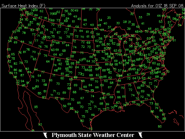
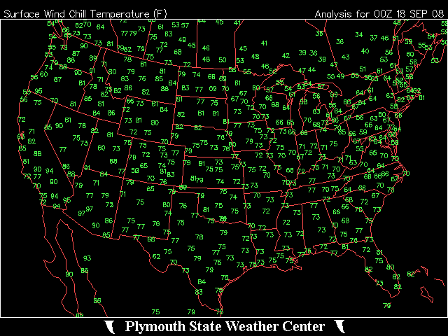
Weather Observations
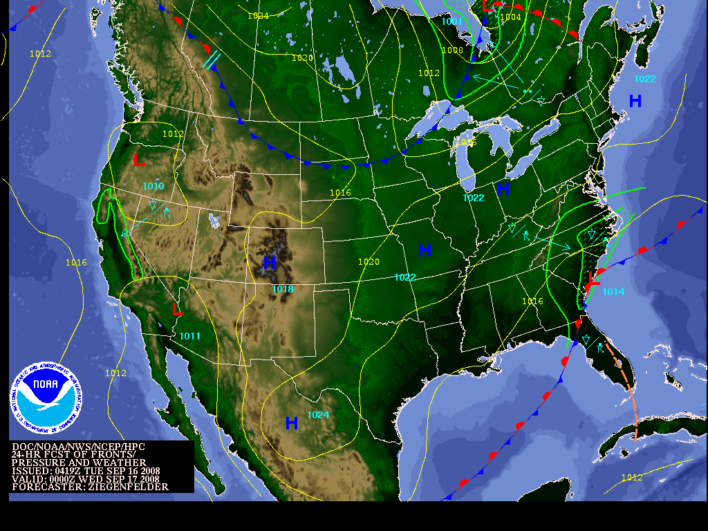
Latest Conditions (Arkansas)Text Button

For conditions from surrounding states, choose from the drop down menu to left and click "Get Data"!
Latest Conditions (U.S.)
Temp & Precip TableText Button (high and low temperatures and precipitation <last 24 hours> across Arkansas - 725 am report: high yesterday/low this morning...725 pm report: high today/low this morning)
Supplemental Temp & Precip TableText Button (high and low temperatures and precipitation across Arkansas in the last 24 hours ending at 7am)
Rainfall ReportsText Button(24 hour totals through 7am on the last day rain was measured)
Air Pollution Standards Index
Weather Maps
Surface Analysis (U.S.) - Today   <front types/precipitation symbols>
National Radar (U.S.)
Current Temperatures (U.S.)   <alternate source>
Heat Index (U.S.) - use mostly from late Spring to early Fall Wind Chill Index (U.S.) - use mostly from late Fall to early Spring
Weekly Precipitation Totals (U.S.)
Palmer Drought Index (U.S) What is the Palmer Drought Index?
Crop Moisture Index (U.S.)
Surface Observations (METARs)

These observations are coded using a world-wide format known as METAR.

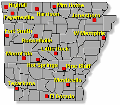
By clicking on a city, you will be able to see the latest HOURLY surface weather observations for the past 24 to 48 hours. The observations are arranged from latest (top) to earliest (bottom).  

Coded METARs


Decoded METARs


For METARs at other locations, plug in a 3-letter identifier (ex. ATL for Atlanta, GA) below and indicate "Coded" or "Decoded" :


National Weather Service
Little Rock Weather Forecast Office
Page last modified: 16 January, 2007
Disclaimer

Credits

Glossary
Privacy Policy

About Our Organization

Career Opportunities