|
|
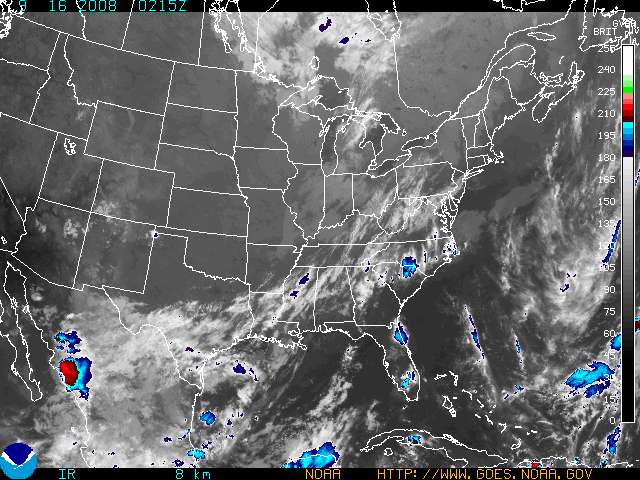
Visible
|
Ch. 4 IR
|
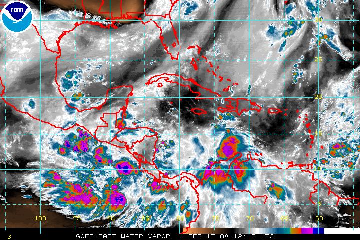
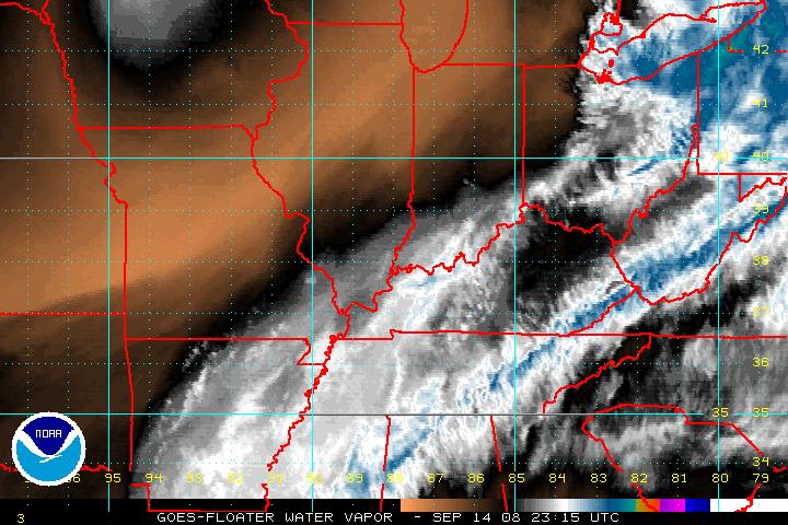
Water Vapor
|
|
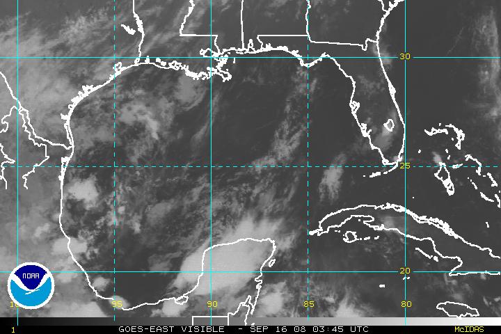
Visible
|
Ch. 4 IR
|
Ch. 2 IR
|
|
Visible
|
Ch. 4 IR
|
Water Vapor
|
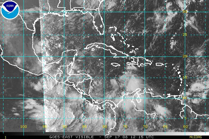
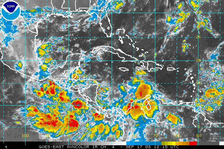
| Caribbean & Western Tropical Atlantic |
|
Visible
|
Ch. 4 IR
|
Water Vapor
|
| Atlantic Basin Tropical Floater (Storm Zoom) |
|
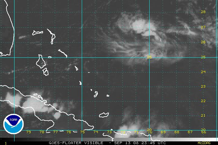
Visible
|
Ch. 4 IR
|
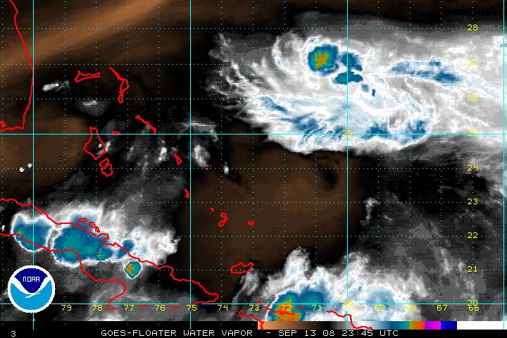
Water Vapor
|
| Additional Atlantic Basin Tropical Floater (Storm Zoom) |
|
Visible
|
Ch. 4 IR
|
Water Vapor
|
| Derived Product Imagery (Courtesy of CIMMS) |
|
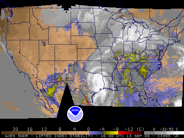
Lifted Index
|
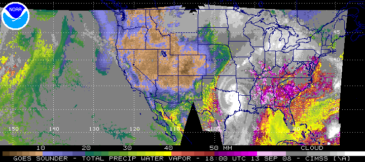
Total Precipitable Water
|
Total Column Ozone
|
|
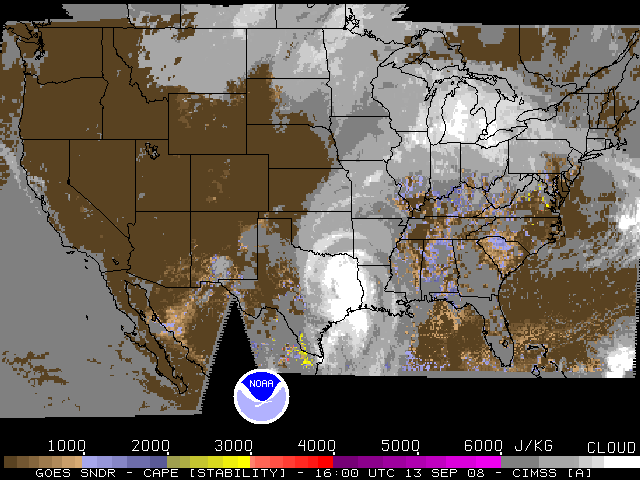
CAPE
|
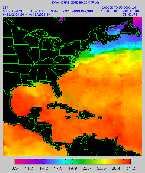
Sea Surface Temperature
|
Cloud Top Pressure
|
|
|
Local Climate, Water & Weather Topics:
Current Hazards, Current Conditions, Radar, Satellite, Climate, Weather Safety, Contact Us |
|
National Weather Service
Tallahassee Weather Forecast Office
Love Building
Florida State University
Tallahassee, FL 32306-4509
Phone: (850) 942-8833
FAX: (850) 942-8850
|
Disclaimer |
Privacy Policy |
|


