Local forecast by
"City, St" |
|
 |
|
| |
Home > Satellite
|
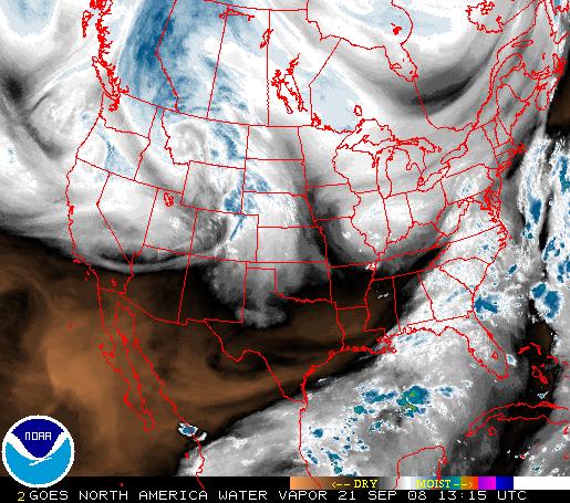
This shows the most recent image of the United States, from a NOAA satellite. This image is taken using a wavelength sensitive to the content of water vapor in the atmosphere. Bright and colored areas indicate high water vapor (moisture) content (colored and white areas indicate the preesnce of both high moisture content and/or ice crystals). Black and brown areas indicate little or no moisture present. WV imagery is useful for both determining locations of moisture and atmospheric circulations.
|
|
|
|