Salmon-Challis National Forest
| www.reserveusa.com -- online campsite reservations | |
| www.publiclands.org -- (information on recreation sites on public lands in the west) | |
| National Interagency Fire Center -- NIFC | |
| Evaluate
Our Service We welcome your comments on our service and your suggestions for improvement. |
Salmon-Challis National Forest (208) 756-5100 |
|
|
|
Lost River Ranger District
Borah Peak
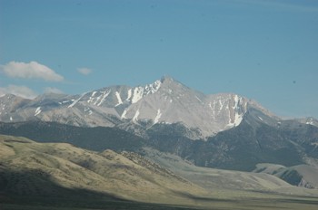
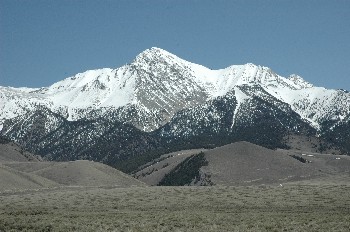
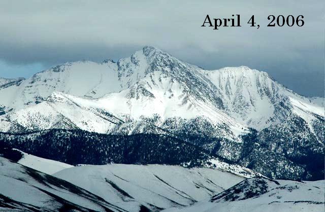
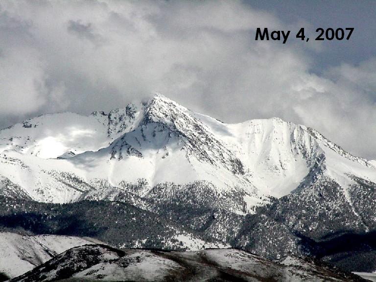
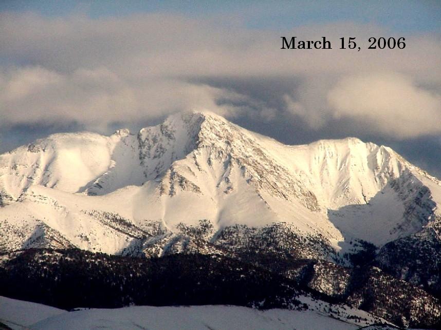
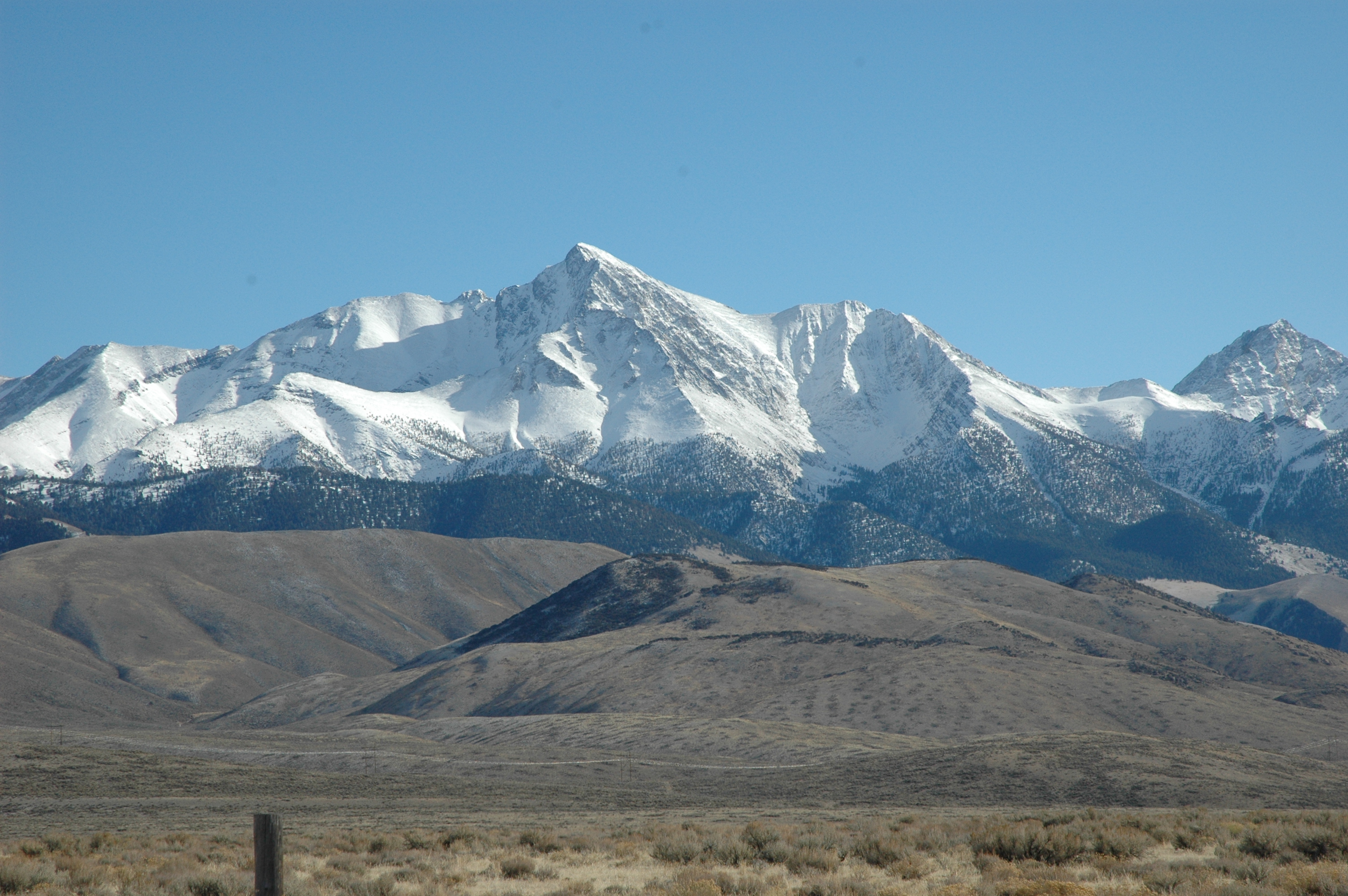
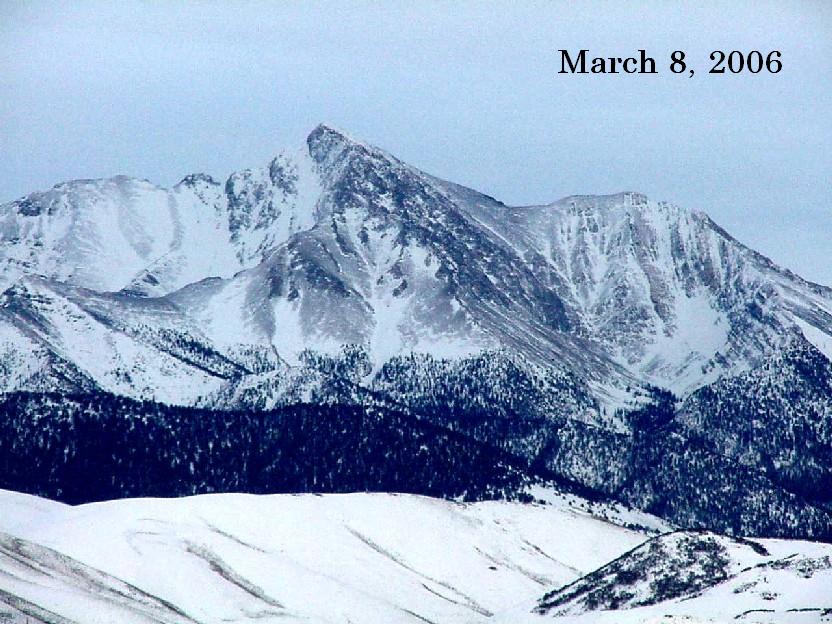
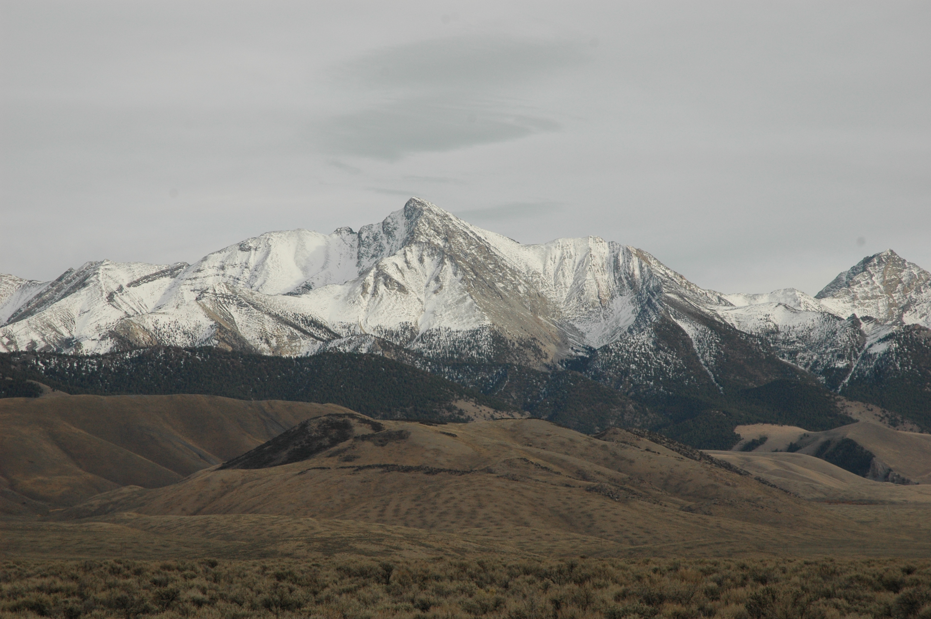
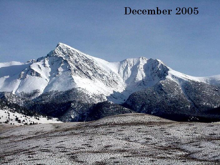
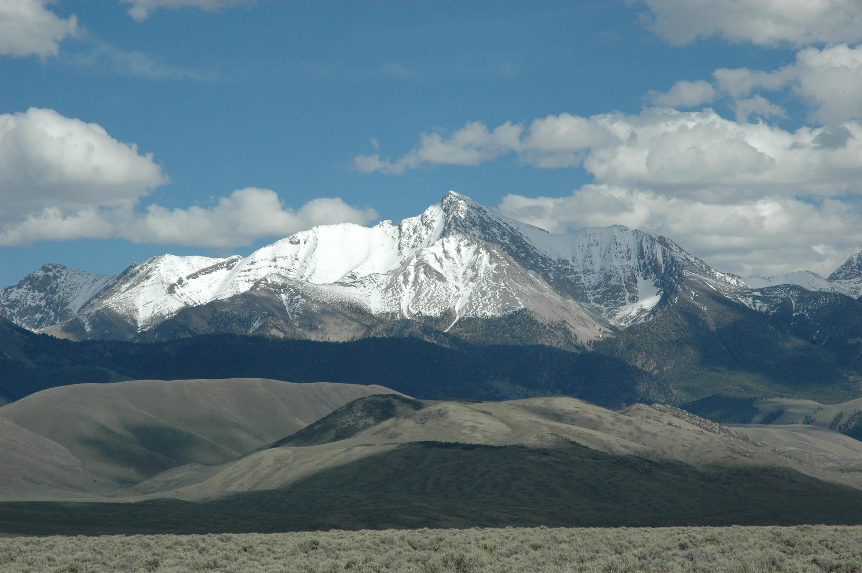
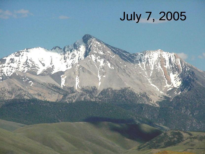
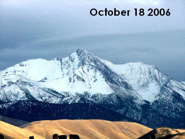
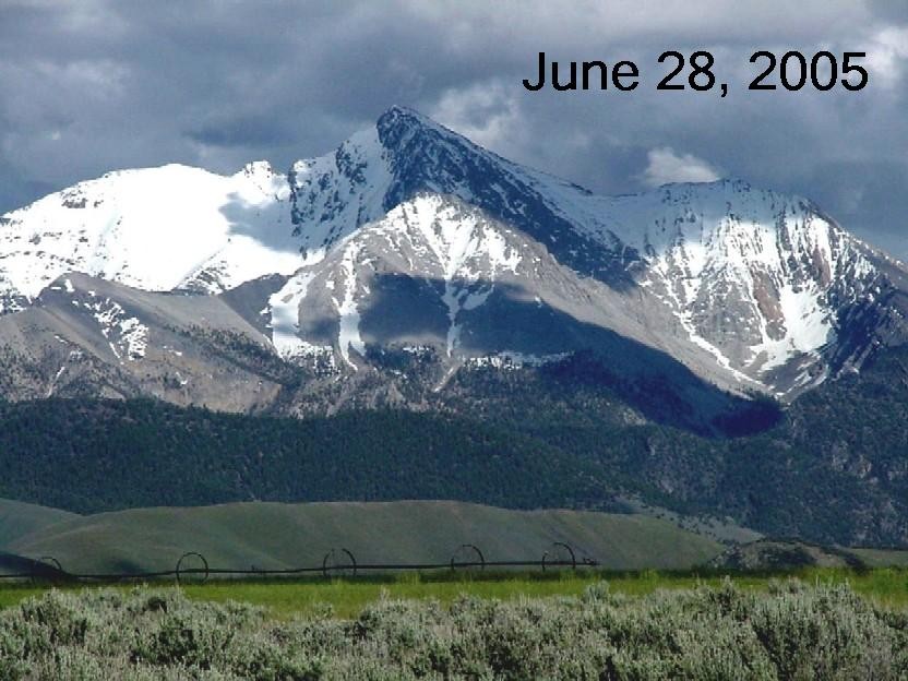
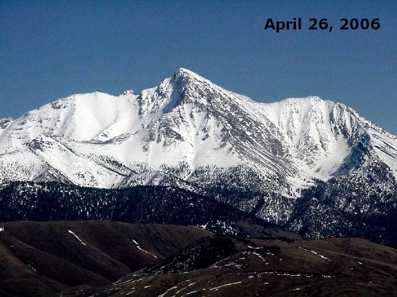
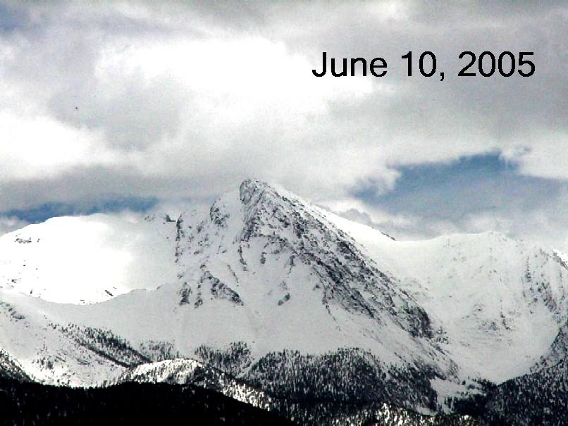
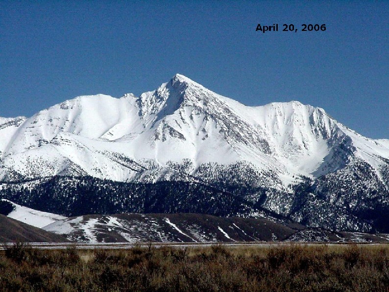
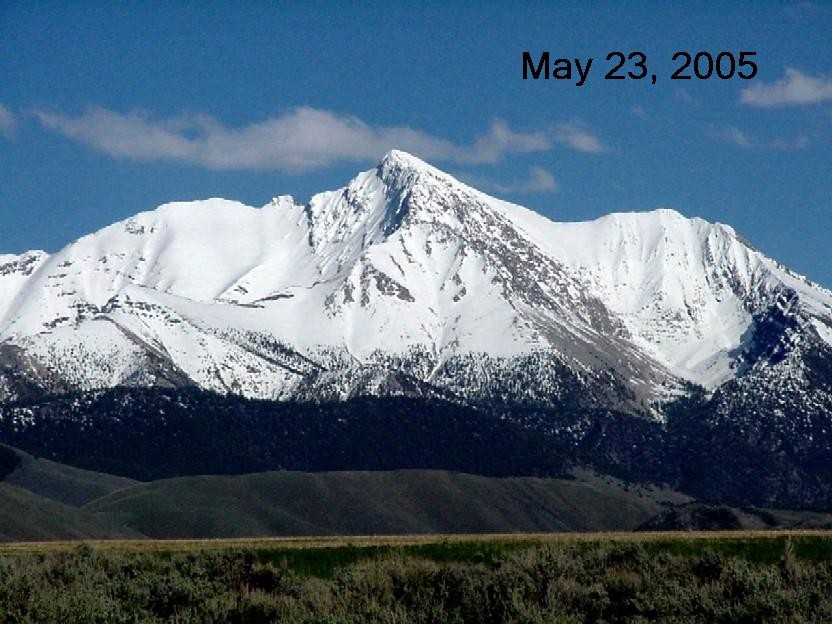
IntroductionWelcome to the Lost River Ranger District's Borah Peak home page. At an elevation of 12,662 feet Borah Peak is the highest peak in Idaho. We hope you find the information on this page useful in planning your climb and we hope you have an enjoyable trip. You can view our Borah Peak climbing information letter by clicking here. If you have any questions or comments please contact our district using the sources. Climbing Information Disclaimer This is the most recent photo of Borah Peak, scroll down to see previous photos: Borah Peak Climbing Conditions:
Alternate Climbing RoutesThe are several other climbing routes to the summit of Borah Peak. All of these routes require varying degrees of technical climbing. |
Traditional Climbing Route (Southwest Ridge Route)Jumpoff Point: Borah Peak Trailhead.
Elevation of Jumpoff Point: 7,400 feet Elevation of Summit: 12,662 feet Total Elevation Gain: 5,262 feet Total Distance (one-way): 3.5 miles Climbing Information:
Additional Links:
|
2006/2007/2008 |
|
2005/2006 |
 |
 |
|
 |
 |
|
 |
 |
|
 |
 |
|
 |
 |
|
 |
 |
|
 |
 |
|
 |
 |
Traditional Climbing Route (Southwest Ridge Route)
Jumpoff Point: Borah Peak Trailhead.
- Access to trailhead - Map showing access routes to trailhead
- Borah Peak Trailhead - Directions to and information on the Borah Peak Trailhead
Elevation of Jumpoff Point: 7,400 feet
Elevation of Summit: 12,662 feet
Total Elevation Gain: 5,262 feet
Total Distance (one-way): 3.5 miles
Climbing Information:
- Climbing Route - Photograph showing the traditional climbing route to the summit
- Aerial Photograph - Aerial photograph of Borah Peak and surrounding area (from Terraserver database)
- Topographic Map - Topographic map of Borah Peak and surrounding area (from Terraserver database)
Climbing Conditions:
- Current Weather Forecast - National Weather Service forecast for the Lost River-Pahsimeroi area
- Current Photo - A photograph of Borah Peak updated regularly.
Alternate Climbing Routes
The are several other climbing routes to the summit of Borah Peak. All of these routes require varying degrees of technical climbing.
Additional Links:
USDA Forest Service - Salmon-Challis National Forest
Last Modified: Friday, 18 July 2008 at 11:42:26 EDT