A catalog of NASA images and animations of our home planet
Skip Navigation (key s)
.
Home
Terms of Use
Frequently Asked Questions
Browse By:
Satellite
Sensor
Collections
Country
U.S. State
GCMD Topic
All Categories
»
GCMD Topics
»
Land Surface
»
Topography
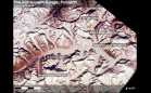
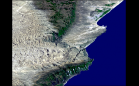
Karakoram Range, Pakistan
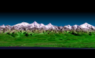
3-D Perspective View, Kamchatka …
Color Image of Death Valley, …
Space Radar Image of Altona, …
Space Radar Image of Mt. Etna, Italy
Space Radar Image of Central Java, …
Space Radar Image of Craters of …
Space Radar of Image Aorounga …
Space Radar Image of the Yucatan …
Space radar image of Mauna Loa, …
Space Radar Image of Raco, Michigan
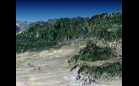
Perspective View, Landsat Overlay, …
SRTM Radar - Landsat Image …
Perspective with Landsat Overlay: …
SRTM Stereo Pair with Landsat …
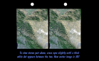
SRTM Anaglyph with Landsat …
Sort By: Data Date
↑
↓
Visualization Date
↑
↓
ID
↑
↓
« ‹ 1
2
3
4
5
6
7
›
»
Subcategories
Contours
(7)
Landforms
(70)
Relief
(16)
Surface Roughness
(12)
Terrain Elevation
(12)
Topographic Effects
(26)