| A cross-agency U.S. Government Web site. List of AIRNow partner agencies |

|
National Overview
Partners
Air Quality Basics
The AQI for...
Key Topics:
Resources |
| Contact Us |
| Privacy and Security Notice |
| Accessibility |
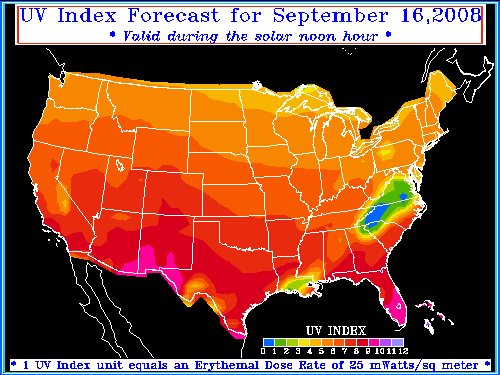
Daily UV Index Map
The ozone layer shields the Earth from harmful UV radiation. Ozone depletion, as well as seasonal and weather variations, cause different amounts of UV radiation to reach the Earth at any given time. Developed by the National Weather Service (NWS) and EPA, the UV Index predicts the next day's ultraviolet radiation levels on a 1-11+ scale, helping people determine appropriate sun-protective behaviors. For more information about the UV Index, and to get the UV Index for your ZIP code, explore the rest of the EPA Sunwise UV Index Web site.
| |
||||||||||||
|
AIRNow is a government-backed program. Through AIRNow, EPA, NOAA, NPS, news media, tribal, state,
and local agencies work together to report conditions for ozone and particle pollution.
State, Local and Tribal Partners.
|
||||||||||||
|
||||||||||||